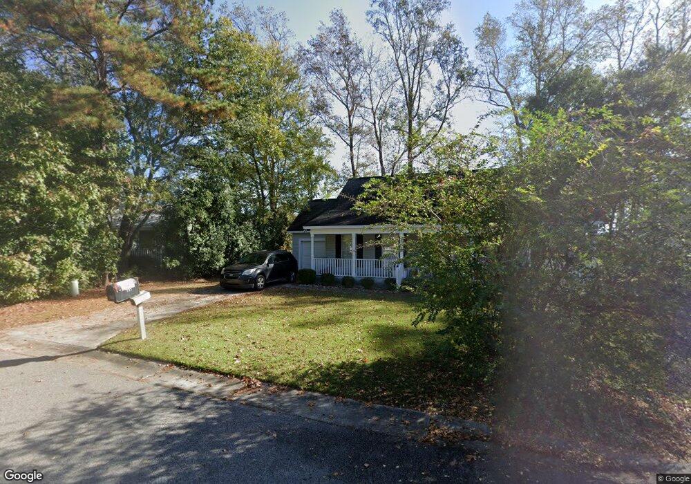
6010 Highway 544 Myrtle Beach, SC 29588
Estimated Value: $1,197,000
6
Beds
2
Baths
40,089
Sq Ft
$30/Sq Ft
Est. Value
About This Home
This home is located at 6010 Highway 544, Myrtle Beach, SC 29588 and is currently priced at $1,197,000, approximately $29 per square foot. 6010 Highway 544 is a home located in Horry County with nearby schools including Forestbrook Elementary School, Forestbrook Middle School, and Socastee High School.
Ownership History
Date
Name
Owned For
Owner Type
Purchase Details
Closed on
Oct 10, 2017
Sold by
Bullock Erinn Causey
Bought by
Conway Hospital Inc
Current Estimated Value
Purchase Details
Closed on
Aug 29, 2017
Sold by
Bullock Erinn Causey
Bought by
Grand Strand Water
Purchase Details
Closed on
Sep 18, 2007
Sold by
Causey Bullock Erinn Causey and Causey Melton Meghan
Bought by
Ermac Properties Llc
Purchase Details
Closed on
Sep 20, 2004
Sold by
Williams Tollula C
Bought by
Causey Erinn O and Causey Meghan A
Create a Home Valuation Report for This Property
The Home Valuation Report is an in-depth analysis detailing your home's value as well as a comparison with similar homes in the area
Home Values in the Area
Average Home Value in this Area
Purchase History
| Date | Buyer | Sale Price | Title Company |
|---|---|---|---|
| Conway Hospital Inc | $1,150,000 | -- | |
| Grand Strand Water | $15,220 | -- | |
| Ermac Properties Llc | -- | None Available | |
| Causey Erinn O | -- | -- |
Source: Public Records
Tax History Compared to Growth
Tax History
| Year | Tax Paid | Tax Assessment Tax Assessment Total Assessment is a certain percentage of the fair market value that is determined by local assessors to be the total taxable value of land and additions on the property. | Land | Improvement |
|---|---|---|---|---|
| 2024 | $1,283 | $1,065,787 | $154,602 | $911,185 |
| 2023 | $1,283 | $1,000,915 | $142,297 | $858,618 |
| 2021 | $1,283 | $1,005,858 | $147,240 | $858,618 |
| 2020 | $637 | $1,005,858 | $147,240 | $858,618 |
| 2019 | $44 | $97,021 | $91,699 | $5,322 |
| 2018 | $44 | $72,832 | $68,794 | $4,038 |
| 2017 | $0 | $19,111 | $15,211 | $3,900 |
| 2016 | -- | $19,111 | $15,211 | $3,900 |
| 2015 | $489 | $19,111 | $15,211 | $3,900 |
| 2014 | $453 | $19,111 | $15,211 | $3,900 |
Source: Public Records
Map
Nearby Homes
- 6022 Dick Pond Rd Unit 206
- 144 Kenzgar Dr
- 324 Crossing Ct
- 203 Harbor Oaks Dr Unit Lot 10
- 112 Harbor Oaks Dr
- 319 Crossing Ct
- 168 Harbor Oaks Dr
- 3827 El Duce Place
- 2397 River Rd
- 3840 Ed Smith Ave
- 389 Cattle Drive Cir
- 3670 Earls Rd Unit HWY544
- 3777 Ed Smith Ave
- 3071 Visionary Dr Unit Ibis- Lot 762
- 3067 Visionary Dr Unit Ibis - Lot 763
- 3094 Visionary Dr Unit Ibis- lot 751
- 3081 Visionary Dr Unit Ibis - Lot 758
- 3089 Visionary Dr Unit Dunlin - Lot 756
- 3102 Visionary Dr Unit Ibis- Lot 753
- 3085 Visionary Dr Unit Ibis- Lot 757
- 6010 Highway 544 Unit 216 Bridge Tend
- 6010 Highway 544 Unit 316
- 6010 Highway 544 Unit 115
- 6010 Highway 544
- 6010 Highway 544 Unit 214
- 6010 Highway 544 Unit 107
- 6010 Dick Pond Rd Unit 214
- 6010 Dick Pond Rd Unit 113 Bridge Tender
- 6010 Dick Pond Rd
- 6010 Dick Pond Rd Unit 212
- 6010 Dick Pond Rd Unit 313
- 6010 Dick Pond Rd Unit 216
- 6010 Dick Pond Rd Unit 116
- 6010 Dick Pond Rd Unit 316
- 6010 Dick Pond Rd Unit 314
- 6010 Dick Pond Rd Unit 215
- 6010 Dick Pond Rd Unit 114
- 6016 Highway 544
- 6016 Highway 544 Unit 310
- 6016 Highway 544 Unit 304