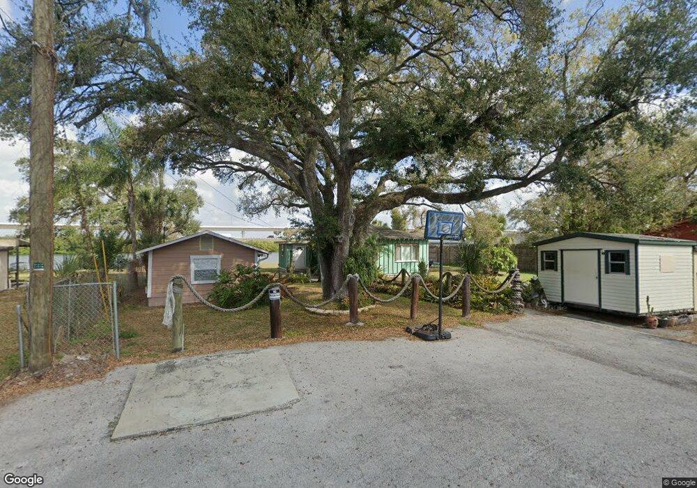
6010 Murrhee Rd Tampa, FL 33619
Great Palm River Point NeighborhoodEstimated Value: $366,000 - $436,575
2
Beds
2
Baths
1,756
Sq Ft
$226/Sq Ft
Est. Value
About This Home
This home is located at 6010 Murrhee Rd, Tampa, FL 33619 and is currently estimated at $396,894, approximately $226 per square foot. 6010 Murrhee Rd is a home located in Hillsborough County with nearby schools including Palm River Elementary School, Giunta Middle School, and Howard W. Blake High School & Magnet Program.
Ownership History
Date
Name
Owned For
Owner Type
Purchase Details
Closed on
Jan 29, 2003
Sold by
Mcfarland Catherine L and Marrone Nancy L
Bought by
Satin Michael L and Satin Jeanne M
Current Estimated Value
Home Financials for this Owner
Home Financials are based on the most recent Mortgage that was taken out on this home.
Original Mortgage
$125,190
Outstanding Balance
$53,616
Interest Rate
5.95%
Estimated Equity
$343,278
Create a Home Valuation Report for This Property
The Home Valuation Report is an in-depth analysis detailing your home's value as well as a comparison with similar homes in the area
Home Values in the Area
Average Home Value in this Area
Purchase History
| Date | Buyer | Sale Price | Title Company |
|---|---|---|---|
| Satin Michael L | $139,100 | Gulf Coast Title |
Source: Public Records
Mortgage History
| Date | Status | Borrower | Loan Amount |
|---|---|---|---|
| Open | Satin Michael L | $125,190 |
Source: Public Records
Tax History Compared to Growth
Tax History
| Year | Tax Paid | Tax Assessment Tax Assessment Total Assessment is a certain percentage of the fair market value that is determined by local assessors to be the total taxable value of land and additions on the property. | Land | Improvement |
|---|---|---|---|---|
| 2024 | $6,084 | $384,790 | $232,875 | $151,915 |
| 2023 | $5,743 | $384,271 | $232,875 | $151,396 |
| 2022 | $5,224 | $350,819 | $186,300 | $164,519 |
| 2021 | $4,572 | $261,583 | $139,725 | $121,858 |
| 2020 | $3,920 | $196,990 | $93,150 | $103,840 |
| 2019 | $3,635 | $182,418 | $93,150 | $89,268 |
| 2018 | $3,190 | $161,901 | $0 | $0 |
| 2017 | $3,840 | $190,703 | $0 | $0 |
| 2016 | $1,876 | $125,962 | $0 | $0 |
| 2015 | $1,895 | $125,086 | $0 | $0 |
| 2014 | $1,940 | $127,652 | $0 | $0 |
| 2013 | -- | $129,318 | $0 | $0 |
Source: Public Records
Map
Nearby Homes
- 605 Winham St
- 6610 Myrna Dr
- 5830 Langston Dr
- 0 E Washington St
- 5805 Hammon Dr
- 1009 S 70th St
- 1008 Westside Dr
- 806 Papaya Dr
- 815 Papaya Dr
- 1215 Maydell Dr
- 7408 Celeste Ln
- 512 S 51st St
- 7402 Aripeka Dr
- 5745 Helmsman Ct
- 1333 Barnacle Bay Place
- 7710 Coral Vine Ln
- 6003 16th Ave S
- 7420 Aripeka Dr
- 5414 S 16th Ave
- 616 Wheaton Trent Place