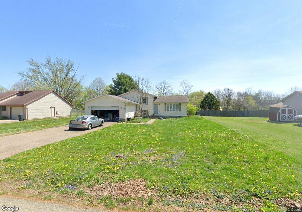
6010 Rollins Dr Nashport, OH 43830
Estimated Value: $327,000 - $455,000
3
Beds
3
Baths
2,114
Sq Ft
$184/Sq Ft
Est. Value
About This Home
This home is located at 6010 Rollins Dr, Nashport, OH 43830 and is currently estimated at $389,311, approximately $184 per square foot. 6010 Rollins Dr is a home located in Muskingum County with nearby schools including Tri-Valley High School.
Ownership History
Date
Name
Owned For
Owner Type
Purchase Details
Closed on
Dec 17, 2009
Sold by
Forker Tina and Forker Scott
Bought by
Daum Christopher W
Current Estimated Value
Home Financials for this Owner
Home Financials are based on the most recent Mortgage that was taken out on this home.
Original Mortgage
$120,000
Outstanding Balance
$78,150
Interest Rate
4.87%
Mortgage Type
New Conventional
Estimated Equity
$311,161
Create a Home Valuation Report for This Property
The Home Valuation Report is an in-depth analysis detailing your home's value as well as a comparison with similar homes in the area
Home Values in the Area
Average Home Value in this Area
Purchase History
| Date | Buyer | Sale Price | Title Company |
|---|---|---|---|
| Daum Christopher W | $145,000 | None Available |
Source: Public Records
Mortgage History
| Date | Status | Borrower | Loan Amount |
|---|---|---|---|
| Open | Daum Christopher W | $120,000 |
Source: Public Records
Tax History Compared to Growth
Tax History
| Year | Tax Paid | Tax Assessment Tax Assessment Total Assessment is a certain percentage of the fair market value that is determined by local assessors to be the total taxable value of land and additions on the property. | Land | Improvement |
|---|---|---|---|---|
| 2024 | $3,285 | $96,600 | $8,715 | $87,885 |
| 2023 | $2,586 | $70,770 | $6,230 | $64,540 |
| 2022 | $2,519 | $70,770 | $6,230 | $64,540 |
| 2021 | $2,482 | $70,770 | $6,230 | $64,540 |
| 2020 | $2,199 | $61,530 | $5,425 | $56,105 |
| 2019 | $2,200 | $61,530 | $5,425 | $56,105 |
| 2018 | $2,038 | $61,530 | $5,425 | $56,105 |
| 2017 | $1,896 | $49,665 | $5,425 | $44,240 |
| 2016 | $1,797 | $49,670 | $5,430 | $44,240 |
| 2015 | $1,844 | $49,670 | $5,430 | $44,240 |
| 2013 | $2,076 | $49,670 | $5,430 | $44,240 |
Source: Public Records
Map
Nearby Homes
- 3865 Creamery Rd
- 6180 Arnies Dr
- 3755 Gorsuch Rd
- 6705 Frazeysburg Rd
- 2505 Kenlo Woods Dr
- 3204 Maple Creek Dr
- 6705 Frazeysburd Rd
- 4321 Creamery Rd
- 3168 Maple Creek Dr
- 6008 Shala Cir
- 1560 Coachlite Cir
- 2695 Ash Meadows Blvd
- 2530 Monnie Place
- 0 Sheffield Circle-9 4 Acres Unit 224009901
- 0 E Sheffield Cir
- 1650 Richvale Rd
- 0 Newark Rd
- 5020 Wilshire Dr
- 5295 Stonegate Dr
- 5285 Stonegate Dr
- 6020 Rollins Dr
- 5990 Rollins Dr
- 6030 Rollins Dr
- 3127 Creamery Rd
- 6040 Rollins Dr
- 6005 Rollins Dr
- 3245 Creamery Rd
- 6025 Rollins Dr
- 6050 Rollins Dr
- 6045 Rollins Dr
- 3180 Creamery Rd
- 3255 Creamery Rd
- 6020 Saad Ct
- 3240 Creamery Rd
- 6065 Rollins Dr
- 6070 Rollins Dr
- 5965 Frazeysburg Rd
- 5965 Frazeysburg Rd
- 5965 Frazeysburg Rd
- 5965 Frazeysburg Rd