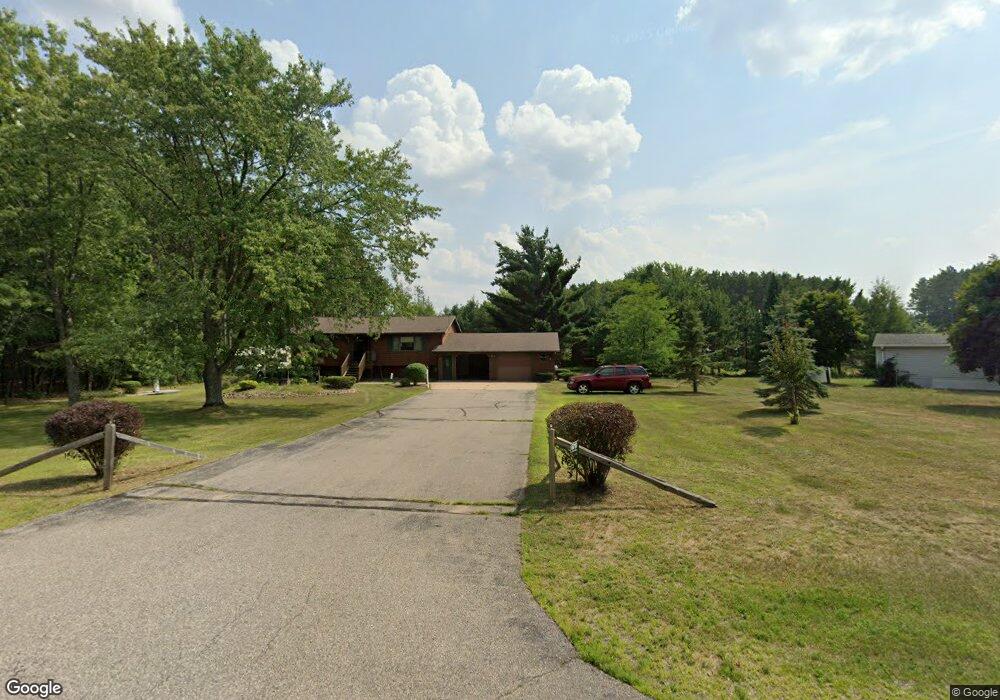
6010 Whitrock Ave Wisconsin Rapids, WI 54494
Estimated Value: $249,000 - $304,000
4
Beds
--
Bath
2,048
Sq Ft
$137/Sq Ft
Est. Value
About This Home
This home is located at 6010 Whitrock Ave, Wisconsin Rapids, WI 54494 and is currently estimated at $279,909, approximately $136 per square foot. 6010 Whitrock Ave is a home located in Wood County with nearby schools including Washington Elementary School, East Junior High School, and Wisconsin Rapids Area Middle School.
Ownership History
Date
Name
Owned For
Owner Type
Purchase Details
Closed on
Oct 5, 2015
Sold by
Curtin Gail L and Curtin David C
Bought by
Curtin Gail L
Current Estimated Value
Purchase Details
Closed on
Dec 18, 2007
Sold by
Krause Brian L and Krause Brenda
Bought by
Federal National Mortgage Association
Purchase Details
Closed on
Nov 7, 2007
Sold by
Krause Brian L
Bought by
Federal National Mortgage Association
Create a Home Valuation Report for This Property
The Home Valuation Report is an in-depth analysis detailing your home's value as well as a comparison with similar homes in the area
Home Values in the Area
Average Home Value in this Area
Purchase History
| Date | Buyer | Sale Price | Title Company |
|---|---|---|---|
| Curtin Gail L | $126,700 | -- | |
| Federal National Mortgage Association | -- | None Available | |
| Federal National Mortgage Association | $117,100 | -- | |
| Federal National Mortgage Association | $117,100 | -- |
Source: Public Records
Tax History Compared to Growth
Tax History
| Year | Tax Paid | Tax Assessment Tax Assessment Total Assessment is a certain percentage of the fair market value that is determined by local assessors to be the total taxable value of land and additions on the property. | Land | Improvement |
|---|---|---|---|---|
| 2024 | $2,227 | $137,100 | $15,900 | $121,200 |
| 2023 | $2,175 | $137,100 | $15,900 | $121,200 |
| 2022 | $2,151 | $137,100 | $15,900 | $121,200 |
| 2021 | $2,186 | $137,100 | $15,900 | $121,200 |
| 2020 | $2,222 | $137,100 | $15,900 | $121,200 |
| 2019 | $2,285 | $121,400 | $18,000 | $103,400 |
| 2018 | $2,272 | $121,400 | $18,000 | $103,400 |
| 2017 | $2,222 | $121,400 | $18,000 | $103,400 |
| 2016 | $2,174 | $121,400 | $18,000 | $103,400 |
| 2015 | $2,112 | $121,400 | $18,000 | $103,400 |
Source: Public Records
Map
Nearby Homes
- 5741 Siesta Cir
- 6111 Magnolia Dr
- 5930 Wazeecha Ave
- 5640 Helke Rd
- 4910 Pine Needle Way
- 3610 43rd St S
- 6410 Lenox Ave
- 6711 Kellner Rd
- 7320 Deer Rd
- Parcel #0703692 Dewberry Ln
- 4411 Kellner Rd
- 3820 36th St S
- 1510 52nd St S
- 1911 45th St S
- 1930 42nd St S
- 8210 Grove Ave
- 8041 White Pine Dr
- 8540 Lake Rd
- 000 64th St S Unit 11840 64th Street So
- 2920 27th St S
- 5921 Sequoia Cir
- 5871 Sequoia Cir
- 3921 Estates Dr
- 5931 Sequoia Cir
- 3921 Ben Franklin Dr
- 5861 Sequoia Cir
- 5941 Sequoia Cir
- 3911 Estates Dr
- 3920 Ben Franklin Dr
- 6111 Point Haven Dr
- 5841 Sequoia Cir
- 3911 Ben Franklin Dr
- 5951 Sequoia Cir
- 3830 Estates Dr
- 3910 62nd St S
- 3831 Estates Dr
- 4510 Grand Pine Dr
- 4510 Grand Pine Dr Unit 4911 Pinecone Court
- 5831 Sequoia Cir
- 4011 58th St S