6011 Buckeye Rd Camden, MI 49232
Estimated Value: $119,000 - $194,000
4
Beds
1
Bath
1,100
Sq Ft
$147/Sq Ft
Est. Value
About This Home
This home is located at 6011 Buckeye Rd, Camden, MI 49232 and is currently estimated at $161,730, approximately $147 per square foot. 6011 Buckeye Rd is a home located in Hillsdale County with nearby schools including Waldron High School and Waldron Elementary School.
Ownership History
Date
Name
Owned For
Owner Type
Purchase Details
Closed on
Jun 11, 2009
Sold by
Gary Monalisa A
Bought by
Gary Monalisa A and Knepper Kevin G
Current Estimated Value
Purchase Details
Closed on
Feb 22, 2008
Sold by
Faust Larry and Faust Diana
Bought by
Gary Monalisa A and Knepper Kevin G
Home Financials for this Owner
Home Financials are based on the most recent Mortgage that was taken out on this home.
Original Mortgage
$64,000
Interest Rate
5.1%
Mortgage Type
New Conventional
Purchase Details
Closed on
Dec 19, 2003
Sold by
Sette Alfred and Sette Betty
Bought by
Faust Larry and Faust Diana
Purchase Details
Closed on
Apr 12, 1995
Sold by
Sette Alfred I and Sette Betty
Bought by
Sette Alfred and Sette Betty
Create a Home Valuation Report for This Property
The Home Valuation Report is an in-depth analysis detailing your home's value as well as a comparison with similar homes in the area
Home Values in the Area
Average Home Value in this Area
Purchase History
| Date | Buyer | Sale Price | Title Company |
|---|---|---|---|
| Gary Monalisa A | -- | None Available | |
| Gary Monalisa A | $49,900 | None Available | |
| Faust Larry | $103,000 | -- | |
| Sette Alfred | -- | -- |
Source: Public Records
Mortgage History
| Date | Status | Borrower | Loan Amount |
|---|---|---|---|
| Previous Owner | Gary Monalisa A | $64,000 |
Source: Public Records
Tax History Compared to Growth
Tax History
| Year | Tax Paid | Tax Assessment Tax Assessment Total Assessment is a certain percentage of the fair market value that is determined by local assessors to be the total taxable value of land and additions on the property. | Land | Improvement |
|---|---|---|---|---|
| 2025 | $734 | $49,400 | $0 | $0 |
| 2024 | $336 | $42,400 | $0 | $0 |
| 2023 | $320 | $37,000 | $0 | $0 |
| 2022 | $707 | $32,800 | $0 | $0 |
| 2021 | $699 | $34,800 | $0 | $0 |
| 2020 | $697 | $31,400 | $0 | $0 |
| 2019 | $666 | $27,900 | $0 | $0 |
| 2018 | $636 | $25,400 | $0 | $0 |
| 2017 | $667 | $27,200 | $0 | $0 |
| 2016 | $665 | $26,990 | $0 | $0 |
| 2015 | $296 | $26,990 | $0 | $0 |
| 2013 | $333 | $30,680 | $0 | $0 |
| 2012 | $325 | $31,560 | $0 | $0 |
Source: Public Records
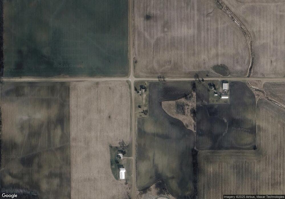
Map
Nearby Homes
- 13151 Tripp Rd
- 4610 Wynnewood Dr
- 4324 Oak Glen Dr
- V/L E Territorial Rd
- 14667 Roberts Ct
- 14165 Crampton Rd
- 4002 & 4014 Meadowlawn Dr
- 14621 Laura Ln
- 12471 Crampton Rd
- 204 Lincoln St
- 301 S 3rd St
- 513 Tanglewood Ln
- 5311 E Burt Rd
- 14191 Lickley Rd
- 11794 Clark Rd
- 16748 Us Highway 20ns
- 10800 South Rd
- 13551 Hillsdale Rd
- 0 Crampton Rd Unit 25049757
- 13791 E Diane Dr
- 6171 Buckeye Rd
- 14140 Birdlake Rd
- 14225 S Bird Lake Rd
- 14225 Birdlake Rd
- 6340 Buckeye Rd
- 5651 Buckeye Rd
- 14491 Birdlake Rd
- 13591 Birdlake Rd
- 13560 Birdlake Rd
- 5344 Buckeye Rd
- 6740 Buckeye Rd
- 14160 Tripp Rd
- 14500 Tripp Rd
- 5900 E Territorial Rd
- 13091 Birdlake Rd
- 14171 Pioneer Rd
- 5851 Miller Rd
- 14320 Tripp Rd
- 5620 E Territorial Rd
- 13811 Pioneer Rd