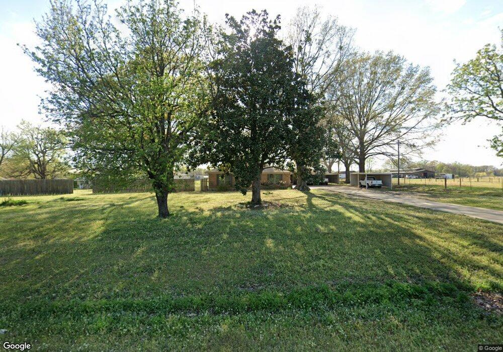
6011 N Kings Hwy Texarkana, TX 75503
Estimated Value: $306,162 - $411,000
3
Beds
2
Baths
2,800
Sq Ft
$123/Sq Ft
Est. Value
About This Home
This home is located at 6011 N Kings Hwy, Texarkana, TX 75503 and is currently estimated at $343,541, approximately $122 per square foot. 6011 N Kings Hwy is a home located in Bowie County with nearby schools including Red Lick Elementary School, Red Lick Middle School, and Texarkana Sda School.
Ownership History
Date
Name
Owned For
Owner Type
Purchase Details
Closed on
Jul 12, 2016
Sold by
Miranda Trinidad and Duncan Mary E
Bought by
Driver Kelly T
Current Estimated Value
Home Financials for this Owner
Home Financials are based on the most recent Mortgage that was taken out on this home.
Original Mortgage
$105,000
Outstanding Balance
$83,813
Interest Rate
3.66%
Mortgage Type
New Conventional
Estimated Equity
$259,728
Purchase Details
Closed on
Aug 6, 2012
Sold by
Duncan John and The John L Duncan & Noama N Du
Bought by
Duncan John L
Create a Home Valuation Report for This Property
The Home Valuation Report is an in-depth analysis detailing your home's value as well as a comparison with similar homes in the area
Home Values in the Area
Average Home Value in this Area
Purchase History
| Date | Buyer | Sale Price | Title Company |
|---|---|---|---|
| Driver Kelly T | -- | Stewart Title | |
| Duncan John L | -- | None Available |
Source: Public Records
Mortgage History
| Date | Status | Borrower | Loan Amount |
|---|---|---|---|
| Open | Driver Kelly T | $105,000 |
Source: Public Records
Tax History Compared to Growth
Tax History
| Year | Tax Paid | Tax Assessment Tax Assessment Total Assessment is a certain percentage of the fair market value that is determined by local assessors to be the total taxable value of land and additions on the property. | Land | Improvement |
|---|---|---|---|---|
| 2025 | $2,814 | $255,676 | $19,000 | $236,676 |
| 2024 | $2,814 | $249,165 | $19,000 | $230,165 |
| 2023 | $3,759 | $228,419 | $0 | $0 |
| 2022 | $3,491 | $221,762 | $19,000 | $202,762 |
| 2021 | $3,326 | $188,776 | $19,000 | $169,776 |
| 2020 | $3,300 | $185,345 | $19,000 | $166,345 |
| 2019 | $3,275 | $177,922 | $19,000 | $158,922 |
| 2018 | $3,169 | $172,202 | $19,000 | $153,202 |
| 2017 | $3,093 | $169,405 | $19,000 | $150,405 |
| 2016 | $3,459 | $189,471 | $18,500 | $170,971 |
| 2015 | $799 | $172,337 | $18,500 | $153,837 |
| 2014 | $799 | $166,791 | $18,500 | $148,291 |
Source: Public Records
Map
Nearby Homes
- 7 Coppercreek Cir
- 1302 Arnold Ln
- 16 Irongate Dr
- 14 Stonewall Trace
- 5128 Remington
- 7207 N Richland Dr
- 5112 Remington St
- 5105 Remington
- TBD Arnold Ln
- 5009 Nicholas Dr
- 5608 Hillcrest Dr
- 7104 N Richland Dr
- 15-17 Pinto Cir
- 14-16 Pinto Cir
- 14 Lone Star Pkwy
- 0 HIGH DRIVE High Dr
- Lot 1 High -Cooper Lane Estate III Dr
- 6706 Cameron
- 6803 Kincaid St
- Lot 7 Cooper Lane Est III
- 6007 N Kings Hwy
- 6025 N Kings Hwy
- 6004 Lost Creek Dr
- 6008 Lost Creek Dr
- 6010 Lost Creek Dr
- 6101 N Kings Hwy
- 6102 Lost Creek Dr
- 6009 Lost Creek Dr
- 6104 Lost Creek Dr
- 6005 Lost Creek Dr
- 2 Lost Creek Cir
- 6014 N Kings Hwy
- 3 Lost Creek Cir
- 6106 Lost Creek Dr
- 2 Silverleaf Ln
- 6 Silverleaf Ln
- 5502 Deer Creek Dr
- 4 Silverleaf Ln
- 18 Copper Ridge Rd
- 6105 Lost Creek Dr