Estimated Value: $486,000 - $513,199
4
Beds
2
Baths
2,484
Sq Ft
$201/Sq Ft
Est. Value
About This Home
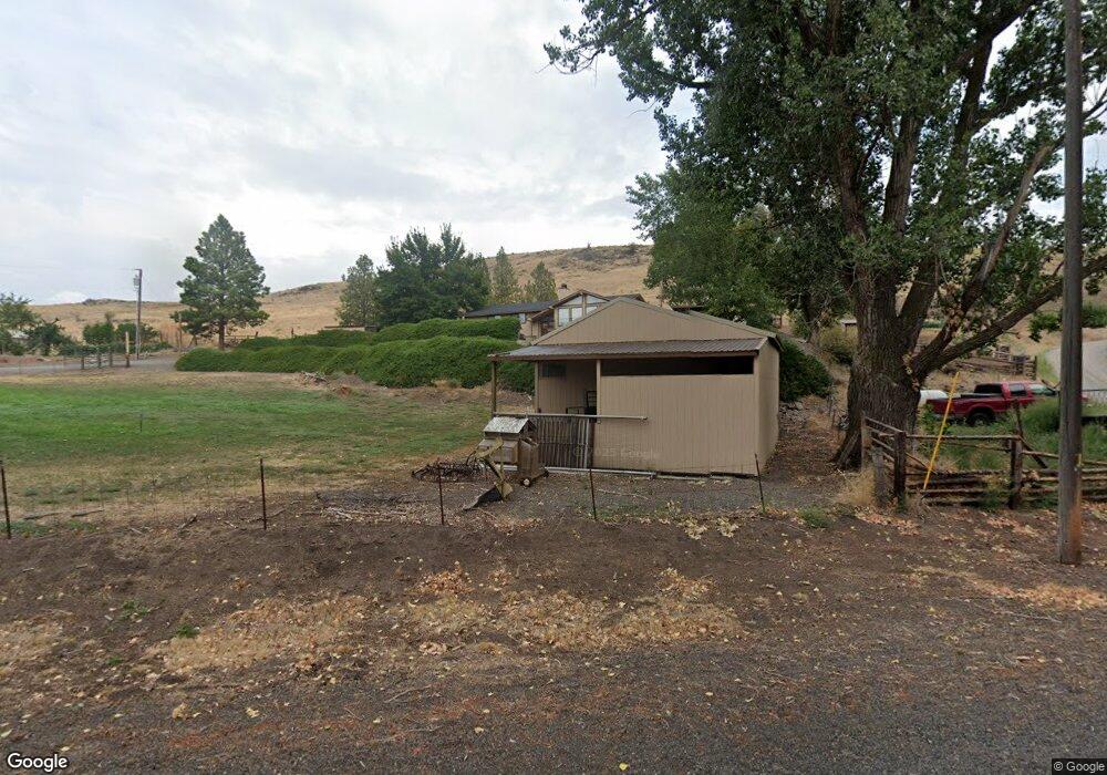
This home is located at 60115 Highway 203, Union, OR 97883 and is currently estimated at $499,600, approximately $201 per square foot. 60115 Highway 203 is a home located in Union County with nearby schools including Union Elementary School and Union High School.
Ownership History
Date
Name
Owned For
Owner Type
Purchase Details
Closed on
Mar 25, 2014
Sold by
Huffman Rodger D and Huffman Jodine M
Bought by
Antoine Nicholas P and Antoine Traci N
Current Estimated Value
Home Financials for this Owner
Home Financials are based on the most recent Mortgage that was taken out on this home.
Original Mortgage
$271,179
Outstanding Balance
$204,782
Interest Rate
4.32%
Mortgage Type
VA
Estimated Equity
$294,818
Purchase Details
Closed on
Aug 4, 2005
Sold by
Bruce Henry V and Bruce Dorothy E
Bought by
Huffman Rodger D and Huffman Jodine M
Home Financials for this Owner
Home Financials are based on the most recent Mortgage that was taken out on this home.
Original Mortgage
$25,100
Interest Rate
5.56%
Mortgage Type
Stand Alone Second
Create a Home Valuation Report for This Property
The Home Valuation Report is an in-depth analysis detailing your home's value as well as a comparison with similar homes in the area
Home Values in the Area
Average Home Value in this Area
Purchase History
| Date | Buyer | Sale Price | Title Company |
|---|---|---|---|
| Antoine Nicholas P | $263,000 | Eastern Oregon Title Inc | |
| Huffman Rodger D | $251,000 | Abstract & Title Company |
Source: Public Records
Mortgage History
| Date | Status | Borrower | Loan Amount |
|---|---|---|---|
| Open | Antoine Nicholas P | $271,179 | |
| Previous Owner | Huffman Rodger D | $25,100 |
Source: Public Records
Tax History Compared to Growth
Tax History
| Year | Tax Paid | Tax Assessment Tax Assessment Total Assessment is a certain percentage of the fair market value that is determined by local assessors to be the total taxable value of land and additions on the property. | Land | Improvement |
|---|---|---|---|---|
| 2025 | $3,048 | $263,030 | $63,620 | $199,410 |
| 2024 | $2,616 | $216,900 | $23,300 | $193,600 |
| 2023 | $2,534 | $210,590 | $22,620 | $187,970 |
| 2022 | $2,394 | $204,465 | $21,964 | $182,501 |
| 2021 | $2,329 | $198,509 | $21,324 | $177,185 |
| 2020 | $2,256 | $192,728 | $20,703 | $172,025 |
| 2019 | $2,109 | $187,115 | $20,100 | $167,015 |
| 2018 | $2,050 | $181,666 | $19,516 | $162,150 |
| 2017 | $1,994 | $176,375 | $18,948 | $157,427 |
| 2016 | $1,939 | $171,238 | $18,396 | $152,842 |
| 2015 | $1,714 | $166,251 | $17,861 | $148,390 |
| 2014 | $1,714 | $161,409 | $17,340 | $144,069 |
| 2013 | $1,664 | $156,709 | $16,837 | $139,872 |
Source: Public Records
Map
Nearby Homes
- 240 Heritage Ln
- 558 E Fulton St
- 610 E Fulton St
- 1115 S 2nd St
- 650 E Chestnut St
- 306 S Main St
- 362 S 4th St
- 527 S Dewey St
- 1137 N Bellwood St
- 746 W Arch St
- 845 W Arch St
- 141 E Bryan Ave
- 61938 High Valley Rd
- 59926 Comstock Rd
- 0 Rose Ridge Rd Unit 3
- 0 Rose Ridge Rd Unit 1
- 0 Rose Ridge Rd Unit 22290306
- 0 Rose Ridge Rd Unit 2
- 301 High Valley Rd
- 0 Ruth Ln Unit 1404 266829379