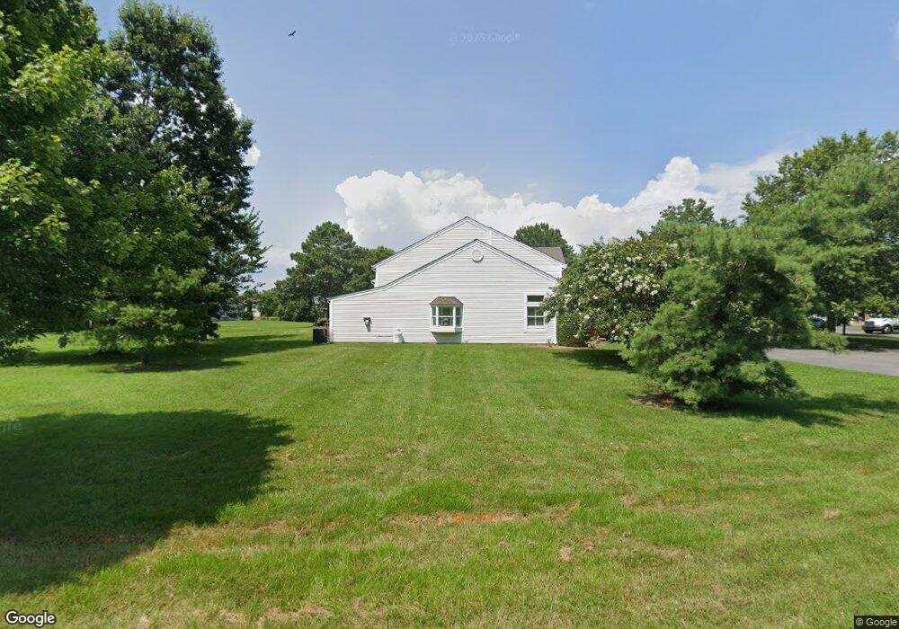
6012 Bridgepointe Dr Chester, MD 21619
Estimated Value: $342,000 - $368,000
Studio
3
Baths
1,635
Sq Ft
$218/Sq Ft
Est. Value
About This Home
This home is located at 6012 Bridgepointe Dr, Chester, MD 21619 and is currently estimated at $356,761, approximately $218 per square foot. 6012 Bridgepointe Dr is a home located in Queen Anne's County with nearby schools including Kent Island Elementary School, Bayside Elementary School, and Matapeake Middle School.
Ownership History
Date
Name
Owned For
Owner Type
Purchase Details
Closed on
Jun 21, 1995
Sold by
Schreiber James F
Bought by
Schreiber James F and Schreiber Jeanne Louise
Current Estimated Value
Purchase Details
Closed on
Nov 12, 1992
Sold by
Bridge Pointe General Partnership
Bought by
Schreiber James F
Home Financials for this Owner
Home Financials are based on the most recent Mortgage that was taken out on this home.
Original Mortgage
$110,950
Interest Rate
8.29%
Create a Home Valuation Report for This Property
The Home Valuation Report is an in-depth analysis detailing your home's value as well as a comparison with similar homes in the area
Home Values in the Area
Average Home Value in this Area
Purchase History
| Date | Buyer | Sale Price | Title Company |
|---|---|---|---|
| Schreiber James F | -- | -- | |
| Schreiber James F | $138,800 | -- |
Source: Public Records
Mortgage History
| Date | Status | Borrower | Loan Amount |
|---|---|---|---|
| Previous Owner | Schreiber James F | $110,950 |
Source: Public Records
Tax History
| Year | Tax Paid | Tax Assessment Tax Assessment Total Assessment is a certain percentage of the fair market value that is determined by local assessors to be the total taxable value of land and additions on the property. | Land | Improvement |
|---|---|---|---|---|
| 2025 | $3,024 | $333,167 | $0 | $0 |
| 2024 | $2,874 | $311,433 | $0 | $0 |
| 2023 | $2,729 | $289,700 | $120,000 | $169,700 |
| 2022 | $2,641 | $280,400 | $0 | $0 |
| 2021 | $2,511 | $271,100 | $0 | $0 |
| 2020 | $2,511 | $261,800 | $110,000 | $151,800 |
| 2019 | $2,498 | $260,433 | $0 | $0 |
| 2018 | $2,485 | $259,067 | $0 | $0 |
| 2017 | $2,472 | $257,700 | $0 | $0 |
| 2016 | -- | $252,033 | $0 | $0 |
| 2015 | $1,138 | $246,367 | $0 | $0 |
| 2014 | $1,138 | $240,700 | $0 | $0 |
Source: Public Records
Map
Nearby Homes
- 7009 Bridgepointe Dr
- 1916 Stevens Dr
- 1906 Harbor Dr
- 1872 Harbor Dr
- 1870 Harbor Dr
- 112 Chessie Ct
- 0 Harbor Dr
- 1838 Sherman Dr
- 2613 Cecil Dr
- 1000 Herons Nest Way Unit 32
- 1000 Herons Nest Way Unit 23
- 109 Price Rd
- 135 Nauset Ln
- 2000 Herons Nest Way Unit 401
- 1757 Harbor Dr
- 3000 Herons Nest Way Unit 11
- 1868 Roberta Dr
- 4000 Herons Nest Way Unit 22
- 54H Queen Caroline Ct
- 54B Queen Caroline Ct
- 6011 Bridgepointe Dr
- 6010 Bridgepointe Dr Unit 66
- 6010 Bridgepointe Dr
- 6009 Bridgepointe Dr
- 6013 Bridgepointe Dr
- 6008 Bridgepointe Dr
- 6014 Bridgepointe Dr
- 6007 Bridgepointe Dr
- 6015 Bridgepointe Dr
- 8007 Bridgepointe Dr
- 8006 Bridgepointe Dr
- 6016 Bridgepointe Dr
- 8005 Bridgepointe Dr
- 8008 Bridgepointe Dr
- 8009 Bridgepointe Dr Unit 81
- 8009 Bridgepointe Dr
- 8004 Bridgepointe Dr
- 8003 Bridgepointe Dr
- 8010 Bridgepointe Dr
- 6006 Bridgepointe Dr
Your Personal Tour Guide
Ask me questions while you tour the home.