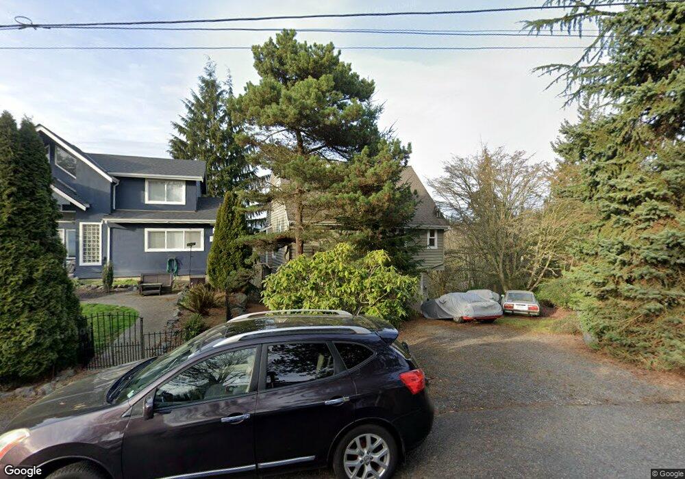
6013 102nd St SW Mukilteo, WA 98275
Harbour Pointe NeighborhoodEstimated Value: $863,000 - $1,168,374
2
Beds
2
Baths
1,855
Sq Ft
$570/Sq Ft
Est. Value
About This Home
This home is located at 6013 102nd St SW, Mukilteo, WA 98275 and is currently estimated at $1,058,094, approximately $570 per square foot. 6013 102nd St SW is a home located in Snohomish County with nearby schools including Columbia Elementary School, Harbour Pointe Middle School, and Kamiak High School.
Ownership History
Date
Name
Owned For
Owner Type
Purchase Details
Closed on
Feb 27, 2003
Sold by
Norris John
Bought by
Norris John and Nicholson Norris Vanessa A
Current Estimated Value
Home Financials for this Owner
Home Financials are based on the most recent Mortgage that was taken out on this home.
Original Mortgage
$202,500
Interest Rate
4.87%
Create a Home Valuation Report for This Property
The Home Valuation Report is an in-depth analysis detailing your home's value as well as a comparison with similar homes in the area
Home Values in the Area
Average Home Value in this Area
Purchase History
| Date | Buyer | Sale Price | Title Company |
|---|---|---|---|
| Norris John | $28,089 | Chicago Title Insurance Co |
Source: Public Records
Mortgage History
| Date | Status | Borrower | Loan Amount |
|---|---|---|---|
| Closed | Norris John | $202,500 |
Source: Public Records
Tax History Compared to Growth
Tax History
| Year | Tax Paid | Tax Assessment Tax Assessment Total Assessment is a certain percentage of the fair market value that is determined by local assessors to be the total taxable value of land and additions on the property. | Land | Improvement |
|---|---|---|---|---|
| 2025 | $7,617 | $984,400 | $630,300 | $354,100 |
| 2024 | $7,617 | $1,020,900 | $666,800 | $354,100 |
| 2023 | $6,604 | $912,700 | $565,600 | $347,100 |
| 2022 | $5,651 | $669,500 | $376,000 | $293,500 |
| 2020 | $4,640 | $552,100 | $343,500 | $208,600 |
| 2019 | $4,466 | $553,200 | $336,700 | $216,500 |
| 2018 | $4,428 | $469,100 | $288,600 | $180,500 |
| 2017 | $4,104 | $450,200 | $364,800 | $85,400 |
| 2016 | $3,279 | $357,100 | $273,000 | $84,100 |
| 2015 | $3,822 | $374,900 | $286,000 | $88,900 |
| 2013 | $3,485 | $321,500 | $231,000 | $90,500 |
Source: Public Records
Map
Nearby Homes
- 10121 64th Place W
- 9716 58th Place W
- 106 Xx MacArthur Ln
- 10413 66th Place W
- 9804 Marine View Dr
- 5912 96th St SW
- 10705 57th Place W
- 10961 Villa Monte Ct Unit 10961
- 11017 Villa Rosa Ln Unit 11017
- 10122 50th Place W
- 10834 53rd Place W
- 6117 92nd St SW
- 11032 55th Ave W
- 5705 92nd St SW
- 0 Lot19 61st Place W
- 0 Lot1501 61st Place W
- 0 Lot1300 61st Place W
- 5300 Harbour Pointe Blvd Unit 305L
- 5300 Harbour Pointe Blvd Unit 305J
- 5300 Harbour Pointe Blvd Unit 311-I
- 6019 102nd St SW
- 6001 102nd St SW
- 6012 102nd St SW
- 6012 102nd St SW
- 6030 102nd St SW
- 6103 102nd St SW
- 6011 Central Dr
- 6113 102nd St SW
- 6110 102nd St SW
- 5927 Central Dr
- 6029 Central Dr
- 0 Webster Way
- 1 Webster Way
- 6215 102nd St SW
- 10221 62nd Place W
- 5919 Central Dr
- 6016 Central Dr
- 6002 Central Dr
- 0 XXX 62nd Place W
- 0 60th Ave W