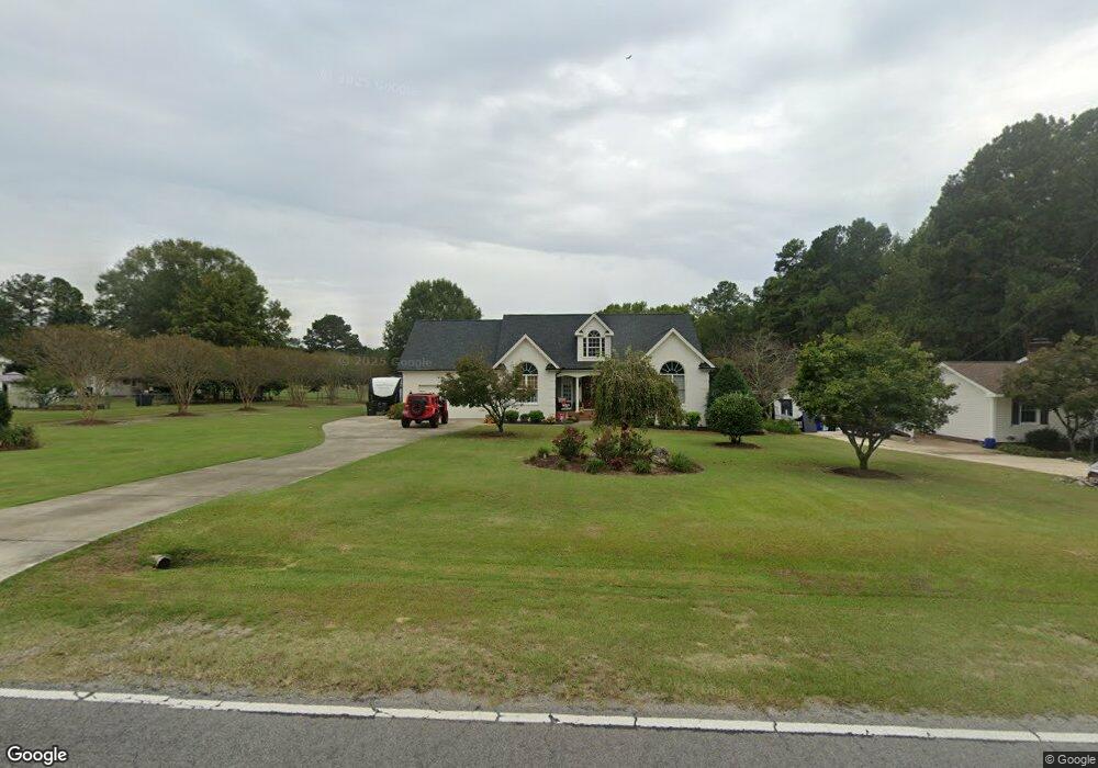
6013 Burt Rd Fuquay Varina, NC 27526
Estimated Value: $445,000 - $696,000
--
Bed
3
Baths
2,641
Sq Ft
$205/Sq Ft
Est. Value
About This Home
This home is located at 6013 Burt Rd, Fuquay Varina, NC 27526 and is currently estimated at $540,483, approximately $204 per square foot. 6013 Burt Rd is a home located in Wake County with nearby schools including Buckhorn Creek Elementary, Holly Grove Middle School, and Fuquay-Varina High.
Ownership History
Date
Name
Owned For
Owner Type
Purchase Details
Closed on
Aug 31, 2001
Sold by
Allen Stephen A and Allen Kristina C
Bought by
Norton Bradley A and Norton Tonya D
Current Estimated Value
Home Financials for this Owner
Home Financials are based on the most recent Mortgage that was taken out on this home.
Original Mortgage
$184,400
Outstanding Balance
$72,377
Interest Rate
7.08%
Estimated Equity
$468,106
Purchase Details
Closed on
Apr 10, 2001
Sold by
Norton Bradley A
Bought by
Allen Stephen A and Allen Kristina C
Purchase Details
Closed on
Jun 10, 1999
Sold by
Veasey Michael Lynn
Bought by
Norton Bradley A and Dean Tonya Lynn
Home Financials for this Owner
Home Financials are based on the most recent Mortgage that was taken out on this home.
Original Mortgage
$10,000
Interest Rate
6.94%
Create a Home Valuation Report for This Property
The Home Valuation Report is an in-depth analysis detailing your home's value as well as a comparison with similar homes in the area
Home Values in the Area
Average Home Value in this Area
Purchase History
| Date | Buyer | Sale Price | Title Company |
|---|---|---|---|
| Norton Bradley A | $230,500 | -- | |
| Allen Stephen A | -- | -- | |
| Norton Bradley A | $20,000 | -- |
Source: Public Records
Mortgage History
| Date | Status | Borrower | Loan Amount |
|---|---|---|---|
| Open | Norton Bradley A | $184,400 | |
| Previous Owner | Norton Bradley A | $10,000 | |
| Closed | Norton Bradley A | $21,300 |
Source: Public Records
Tax History Compared to Growth
Tax History
| Year | Tax Paid | Tax Assessment Tax Assessment Total Assessment is a certain percentage of the fair market value that is determined by local assessors to be the total taxable value of land and additions on the property. | Land | Improvement |
|---|---|---|---|---|
| 2025 | $3,286 | $510,595 | $98,000 | $412,595 |
| 2024 | $3,191 | $510,595 | $98,000 | $412,595 |
| 2023 | $2,717 | $345,920 | $35,000 | $310,920 |
| 2022 | $2,518 | $345,920 | $35,000 | $310,920 |
| 2021 | $2,451 | $345,920 | $35,000 | $310,920 |
| 2020 | $2,410 | $345,920 | $35,000 | $310,920 |
| 2019 | $2,221 | $269,480 | $33,000 | $236,480 |
| 2018 | $2,042 | $269,480 | $33,000 | $236,480 |
| 2017 | $1,936 | $269,480 | $33,000 | $236,480 |
| 2016 | $1,897 | $269,480 | $33,000 | $236,480 |
| 2015 | $1,905 | $271,446 | $33,000 | $238,446 |
| 2014 | -- | $271,446 | $33,000 | $238,446 |
Source: Public Records
Map
Nearby Homes
- 807 Crimson Ridge Trail
- 5933 Rounder Ln
- 7723 Barefoot Rd
- 2504 Fleming Rd
- McKimmon Plan at Holston
- Winston Plan at Holston
- Watauga Plan at Holston
- Biltmore Plan at Holston
- Nelson Plan at Holston
- Clark Plan at Holston
- Brooks Plan at Holston
- Mallard Plan at Holston
- 200 Meadow Walk Dr
- 6205 Caprine St
- 301 Brindle Dr
- 3608 Cobbler View Way
- 401 Stable Vly Dr
- 3608 Cornview Ct
- 2340 Fleming Rd
- 2337 Fleming Rd