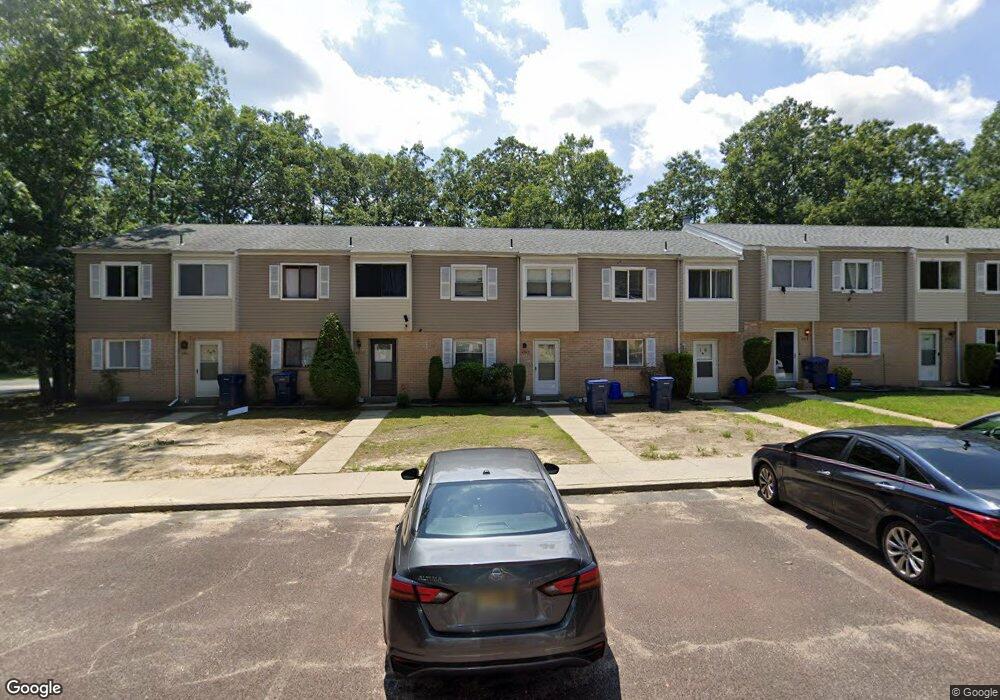
6013 Hoover Dr Unit 1C Mays Landing, NJ 08330
Estimated Value: $148,000 - $158,000
--
Bed
--
Bath
1,292
Sq Ft
$117/Sq Ft
Est. Value
About This Home
This home is located at 6013 Hoover Dr Unit 1C, Mays Landing, NJ 08330 and is currently estimated at $151,535, approximately $117 per square foot. 6013 Hoover Dr Unit 1C is a home located in Atlantic County with nearby schools including Joseph Shaner School, George L. Hess Educational Complex, and William Davies Middle School.
Ownership History
Date
Name
Owned For
Owner Type
Purchase Details
Closed on
Aug 15, 2024
Sold by
Hesser Theodore F and Hesser Sandra
Bought by
Bridged Home Solutions Llc
Current Estimated Value
Home Financials for this Owner
Home Financials are based on the most recent Mortgage that was taken out on this home.
Original Mortgage
$114,000
Outstanding Balance
$112,616
Interest Rate
6.5%
Mortgage Type
New Conventional
Estimated Equity
$38,919
Purchase Details
Closed on
Oct 24, 2007
Sold by
Newsome John Wesley and Newsome Renee Marie
Bought by
Hesser Theodore F and Hesser Sandra
Purchase Details
Closed on
Sep 1, 1989
Sold by
Krupa Eileen E and Krupa Fitzsimmons,P
Bought by
Krupa Eileen E and Krupa Fitzsimmons,P
Create a Home Valuation Report for This Property
The Home Valuation Report is an in-depth analysis detailing your home's value as well as a comparison with similar homes in the area
Home Values in the Area
Average Home Value in this Area
Purchase History
| Date | Buyer | Sale Price | Title Company |
|---|---|---|---|
| Bridged Home Solutions Llc | $130,000 | Universal Title | |
| Hesser Theodore F | $105,000 | Foundation Title | |
| Krupa Eileen E | $100 | -- |
Source: Public Records
Mortgage History
| Date | Status | Borrower | Loan Amount |
|---|---|---|---|
| Open | Bridged Home Solutions Llc | $114,000 |
Source: Public Records
Tax History Compared to Growth
Tax History
| Year | Tax Paid | Tax Assessment Tax Assessment Total Assessment is a certain percentage of the fair market value that is determined by local assessors to be the total taxable value of land and additions on the property. | Land | Improvement |
|---|---|---|---|---|
| 2025 | $1,451 | $63,200 | $20,000 | $43,200 |
| 2024 | $1,451 | $42,300 | $4,500 | $37,800 |
| 2023 | $1,365 | $42,300 | $4,500 | $37,800 |
| 2022 | $1,365 | $42,300 | $4,500 | $37,800 |
| 2021 | $1,140 | $35,400 | $3,000 | $32,400 |
| 2020 | $1,140 | $35,400 | $3,000 | $32,400 |
| 2019 | $1,142 | $35,400 | $3,000 | $32,400 |
| 2018 | $1,102 | $35,400 | $3,000 | $32,400 |
| 2017 | $1,085 | $35,400 | $3,000 | $32,400 |
| 2016 | $1,195 | $40,100 | $5,000 | $35,100 |
| 2015 | $1,154 | $40,100 | $5,000 | $35,100 |
| 2014 | $1,350 | $51,400 | $5,000 | $46,400 |
Source: Public Records
Map
Nearby Homes
- 37 Delancy Ct
- 6310 Phillips Ave
- 6301 Knight Ave
- 87 Devon Rd
- 6314 Lance Ave
- 6202 Lance Ave
- 0 Harding Hwy Unit 597638
- 0 Harding Hwy Unit NJAC2019438
- 6206 Roberts Ave
- 6140 Robin Dr
- 16 Holly Ct
- 24 Holly Ct
- 0 Wheeling Ave Unit NJAC2018470
- 1 Walnut Ct
- 11 Maple Ct
- 13 Hickory Ln
- 9 Oaks Dr Unit 341
- 39 Dogwood Ln Unit OAKS OF WEYMOUTH
- 39 Dogwood Ln
- 14 Hickory Ln
- 6014 Hoover Dr
- 6012 Hoover Dr Unit 1B
- 6015 Hoover Dr
- 6011 Hoover Dr
- 6016 Hoover Dr
- 6017 Hoover Dr Unit 1G
- 6018 Hoover Dr
- 6024 Hoover Dr Unit 2D
- 6023 Hoover Dr
- 6022 Hoover Dr
- 6026 Hoover Dr
- 6025 Hoover Dr
- 6021 Hoover Dr
- 6028 Hoover Dr Unit 2H
- 6131 Hoover Dr Unit 13A
- 6132 Hoover Dr
- 6133 Hoover Dr
- 6134 Hoover Dr
- 6037 Hoover Dr Unit 3D
- 6135 Hoover Dr