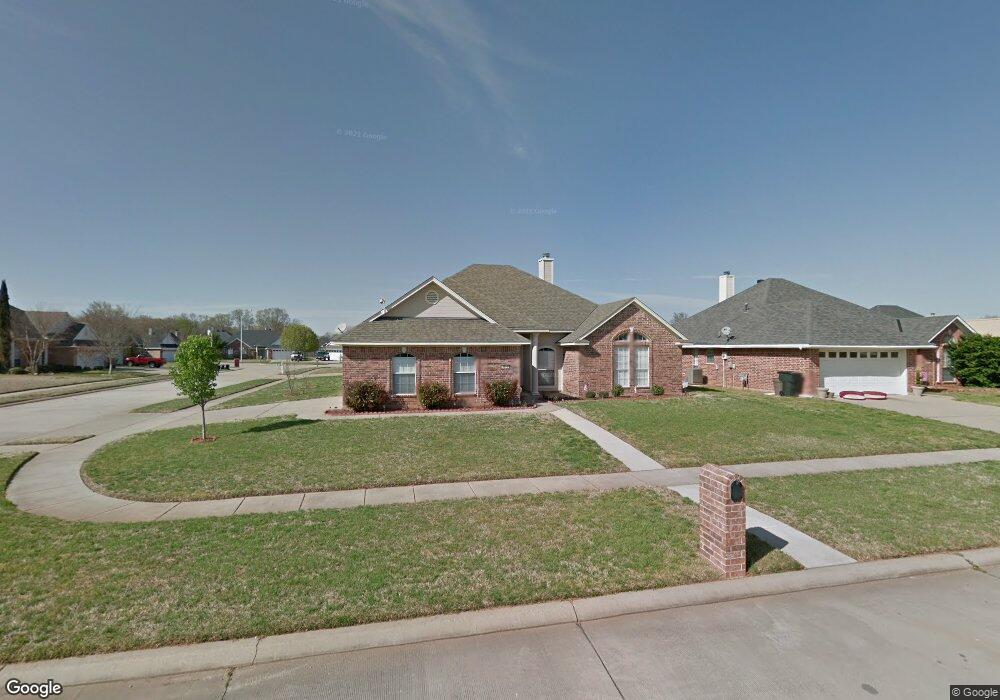
6013 Jason St Bossier City, LA 71111
Estimated Value: $252,000 - $268,000
4
Beds
2
Baths
1,937
Sq Ft
$134/Sq Ft
Est. Value
About This Home
This home is located at 6013 Jason St, Bossier City, LA 71111 and is currently estimated at $260,024, approximately $134 per square foot. 6013 Jason St is a home located in Bossier Parish with nearby schools including The Lee Academy Pilot School, Stockwell Place Elementary School, and Cope Middle School.
Ownership History
Date
Name
Owned For
Owner Type
Purchase Details
Closed on
Jun 30, 2009
Sold by
Cox Randy Keith
Bought by
Borst Ronald Dean and Borst Lois House
Current Estimated Value
Purchase Details
Closed on
Mar 31, 2005
Sold by
Broyles Don Edgar and Broyles Shannon Elizabeth Whitehead
Bought by
Cox Randy Keith and Cox Regina Michelle Hunt
Home Financials for this Owner
Home Financials are based on the most recent Mortgage that was taken out on this home.
Original Mortgage
$185,000
Interest Rate
5.71%
Mortgage Type
Unknown
Create a Home Valuation Report for This Property
The Home Valuation Report is an in-depth analysis detailing your home's value as well as a comparison with similar homes in the area
Home Values in the Area
Average Home Value in this Area
Purchase History
| Date | Buyer | Sale Price | Title Company |
|---|---|---|---|
| Borst Ronald Dean | $209,000 | None Available | |
| Cox Randy Keith | $185,000 | None Available |
Source: Public Records
Mortgage History
| Date | Status | Borrower | Loan Amount |
|---|---|---|---|
| Previous Owner | Cox Randy Keith | $185,000 |
Source: Public Records
Tax History Compared to Growth
Tax History
| Year | Tax Paid | Tax Assessment Tax Assessment Total Assessment is a certain percentage of the fair market value that is determined by local assessors to be the total taxable value of land and additions on the property. | Land | Improvement |
|---|---|---|---|---|
| 2024 | $1,651 | $19,770 | $2,900 | $16,870 |
| 2023 | $1,769 | $19,770 | $2,900 | $16,870 |
| 2022 | $1,315 | $19,770 | $2,900 | $16,870 |
| 2021 | $446 | $19,770 | $2,900 | $16,870 |
| 2020 | $1,314 | $19,770 | $2,900 | $16,870 |
| 2019 | $1,334 | $19,770 | $2,900 | $16,870 |
| 2018 | $1,334 | $19,770 | $2,900 | $16,870 |
| 2017 | $1,767 | $19,770 | $2,900 | $16,870 |
| 2016 | $1,767 | $19,770 | $2,900 | $16,870 |
| 2015 | $450 | $19,770 | $2,900 | $16,870 |
| 2014 | $450 | $19,770 | $2,900 | $16,870 |
Source: Public Records
Map
Nearby Homes
- 2508 Cole Cir
- 6012 Whitney Dr
- 4002 Wilderness Ln
- 2463 Churchill Dr
- 2481 Churchill Dr
- 2319 Windsor Ct
- 5705 Lake Side Dr
- 163 Dogwood South Ln
- 122 Dogwood South Ln
- 6020 Applegate Cir
- 6019 Ellington Way
- 3406 Heatherbrook Dr
- 6014 Ellington Way
- 6012 Ellington Way
- 2212 Landau Ln
- 3237 Pinehaven Ln
- 8401 Dogwood Trail
- 0 Victoria's Dr
- 3609 Willow Wisp Cir
- 113 Red Fox Cir
- 6015 Jason St
- 2502 Cole Cir
- 6011 Jason St
- 2504 Cole Cir
- 2523 Brookhaven Dr
- 2503 Cole Cir
- 6012 Jason St
- 6014 Jason St
- 6010 Jason St
- 2525 Brookhaven Dr
- 6009 Jason St
- 2521 Brookhaven Dr
- 6008 Jason St
- 6016 Jason St
- 2505 Cole Cir
- 2527 Brookhaven Dr
- 6006 Jason St
- 2506 Cole Cir
- 6007 Jason St
- 2513 Brookhaven Dr