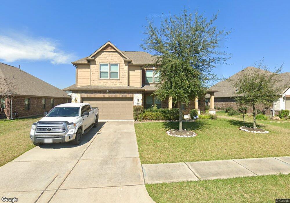
6013 Little Grove Dr Pearland, TX 77581
Estimated Value: $336,000 - $415,000
--
Bed
--
Bath
2,973
Sq Ft
$126/Sq Ft
Est. Value
About This Home
This home is located at 6013 Little Grove Dr, Pearland, TX 77581 and is currently estimated at $373,691, approximately $125 per square foot. 6013 Little Grove Dr is a home with nearby schools including E A Lawhon Elementary School, Leon H. Sablatura Middle School, and Pearland Junior High School West.
Ownership History
Date
Name
Owned For
Owner Type
Purchase Details
Closed on
Apr 25, 2013
Sold by
Kb Home Lone Star Inc
Bought by
Mooney Nathan Ashton and Mooney Lydia
Current Estimated Value
Home Financials for this Owner
Home Financials are based on the most recent Mortgage that was taken out on this home.
Original Mortgage
$213,005
Outstanding Balance
$151,099
Interest Rate
3.58%
Mortgage Type
VA
Estimated Equity
$222,592
Create a Home Valuation Report for This Property
The Home Valuation Report is an in-depth analysis detailing your home's value as well as a comparison with similar homes in the area
Home Values in the Area
Average Home Value in this Area
Purchase History
| Date | Buyer | Sale Price | Title Company |
|---|---|---|---|
| Mooney Nathan Ashton | -- | First American Title |
Source: Public Records
Mortgage History
| Date | Status | Borrower | Loan Amount |
|---|---|---|---|
| Open | Mooney Nathan Ashton | $213,005 |
Source: Public Records
Tax History Compared to Growth
Tax History
| Year | Tax Paid | Tax Assessment Tax Assessment Total Assessment is a certain percentage of the fair market value that is determined by local assessors to be the total taxable value of land and additions on the property. | Land | Improvement |
|---|---|---|---|---|
| 2025 | $6,688 | $445,350 | $32,310 | $413,040 |
| 2023 | $6,688 | $340,736 | $32,310 | $346,730 |
| 2022 | $8,288 | $309,760 | $32,310 | $321,038 |
| 2021 | $8,560 | $309,660 | $32,310 | $277,350 |
| 2020 | $8,218 | $269,600 | $28,100 | $241,500 |
| 2019 | $8,105 | $265,000 | $28,100 | $236,900 |
| 2018 | $7,775 | $253,500 | $28,100 | $225,400 |
| 2017 | $7,720 | $249,000 | $28,100 | $220,900 |
| 2016 | $7,503 | $242,000 | $28,100 | $213,900 |
| 2015 | $6,403 | $227,070 | $28,100 | $198,970 |
| 2014 | $6,403 | $210,510 | $26,160 | $184,350 |
Source: Public Records
Map
Nearby Homes
- 6209 Butler Rd
- 0 Hatfield Rd Unit 37845028
- 5972 Pearland Place
- 1849 Garden Rd
- 2236 Garden Rd Cr 109
- 5602 Megan St
- 1938 Garden Rd Unit 169
- 5208 Cunningham Dr
- 0 Hatfield County Rd 480 Rd Unit 20764256
- 2304 Lynn Dr
- 0 W Broadway St
- 5604 Broadway St
- 1454 Oday Rd
- 1503 Pastureview Dr
- 2453 Roy Rd Unit 105
- 0 Rice Rd
- 1549 Garden Rd Unit 109
- 4901 Shank Rd
- 6417 Scott Ln
- 4804 W Plum St
- 6015 Little Grove Dr
- 6011 Little Grove Dr
- 6014 Orchard Trail Dr
- 6016 Orchard Trail Dr
- 6012 Orchard Trail Dr
- 6017 Little Grove Dr
- 6009 Little Grove Dr
- 6016 Little Grove Dr
- 6014 Little Grove Dr
- 6018 Little Grove Dr
- 6018 Orchard Trail Dr
- 6010 Orchard Trail Dr
- 6007 Little Grove Dr
- 6020 Little Grove Dr
- 6008 Orchard Trail Dr
- 6012 Little Grove Dr
- 6009 Orchard Trail Dr
- 6005 Little Grove Dr
- 6010 Little Grove Dr
- 6022 Little Grove Dr