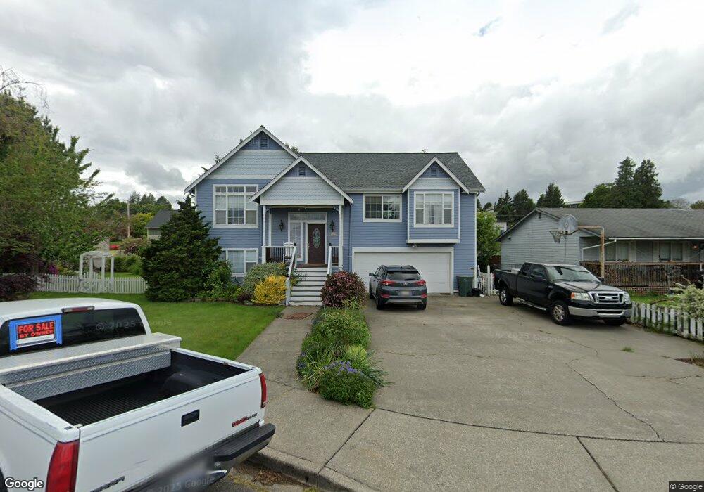
6013 Westerlund Dr Ferndale, WA 98248
Estimated Value: $606,000 - $723,000
3
Beds
2
Baths
2,064
Sq Ft
$314/Sq Ft
Est. Value
About This Home
This home is located at 6013 Westerlund Dr, Ferndale, WA 98248 and is currently estimated at $648,909, approximately $314 per square foot. 6013 Westerlund Dr is a home located in Whatcom County with nearby schools including Skyline Elementary School, Vista Middle School, and Ferndale High School.
Ownership History
Date
Name
Owned For
Owner Type
Purchase Details
Closed on
Jul 14, 2005
Sold by
Mutchler Jonathan R and Mutchler Diane S
Bought by
Converse Theodore P and Converse Lori J
Current Estimated Value
Home Financials for this Owner
Home Financials are based on the most recent Mortgage that was taken out on this home.
Original Mortgage
$239,600
Outstanding Balance
$124,184
Interest Rate
5.55%
Mortgage Type
Purchase Money Mortgage
Estimated Equity
$524,725
Create a Home Valuation Report for This Property
The Home Valuation Report is an in-depth analysis detailing your home's value as well as a comparison with similar homes in the area
Home Values in the Area
Average Home Value in this Area
Purchase History
| Date | Buyer | Sale Price | Title Company |
|---|---|---|---|
| Converse Theodore P | $299,780 | Chicago Title Insurance |
Source: Public Records
Mortgage History
| Date | Status | Borrower | Loan Amount |
|---|---|---|---|
| Open | Converse Theodore P | $239,600 |
Source: Public Records
Tax History Compared to Growth
Tax History
| Year | Tax Paid | Tax Assessment Tax Assessment Total Assessment is a certain percentage of the fair market value that is determined by local assessors to be the total taxable value of land and additions on the property. | Land | Improvement |
|---|---|---|---|---|
| 2024 | $4,325 | $630,434 | $224,070 | $406,364 |
| 2023 | $4,325 | $621,735 | $231,000 | $390,735 |
| 2022 | $3,757 | $507,742 | $140,445 | $367,297 |
| 2021 | $3,784 | $419,621 | $116,070 | $303,551 |
| 2020 | $3,663 | $388,548 | $107,475 | $281,073 |
| 2019 | $2,818 | $338,414 | $93,608 | $244,806 |
| 2018 | $3,286 | $309,402 | $85,583 | $223,819 |
| 2017 | $2,941 | $271,143 | $75,000 | $196,143 |
| 2016 | $2,758 | $262,473 | $71,656 | $190,817 |
| 2015 | $2,765 | $246,918 | $67,841 | $179,077 |
| 2014 | -- | $241,869 | $66,300 | $175,569 |
| 2013 | -- | $238,659 | $65,000 | $173,659 |
Source: Public Records
Map
Nearby Homes
- 2141 Jason Ct
- 6157 Unrein Dr
- 5861 Malloy Ave
- 5865 Anderson Ave
- 77 xx Portal Way
- 5829 Vista Dr
- 5879 Anderson Ave
- 5873 Anderson Ave
- 2136 Hawthorne St
- 5910 Artist Dr
- 6214 Malloy Ave
- 5863 Cedar St
- 6218 N Beulah Ave
- 6216 Fernridge Ct
- 5802 2nd Ave
- 5948 Shannon Ave
- 6225 N Beulah Ave
- 2144 Riverstone Loop
- 2058 Andre Ct
- 2122 Riverstone Loop
- 6007 Westerlund Ct
- 6023 Westerlund Dr
- 6007 Westerlund Dr
- 6016 Malloy Ave
- 6006 Malloy Ave
- 6002 Malloy Ave
- 6027 Westerlund Dr
- 6024 Malloy Ave
- 6012 Westerlund Dr
- 6024 Westerlund Dr
- 6035 Westerlund Dr
- 5998 Malloy Ave
- 6030 Malloy Ave
- 6028 Westerlund Dr
- 5990 Malloy Ave
- 6047 Malloy Ave
- 6017 Oscar Ct
- 6023 Oscar Ct
- 6037 Westerlund Dr
- 5988 Malloy Ave