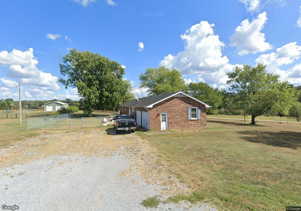
6014 Highway 49 E Springfield, TN 37172
Estimated Value: $349,675 - $464,000
Studio
2
Baths
1,782
Sq Ft
$223/Sq Ft
Est. Value
About This Home
This home is located at 6014 Highway 49 E, Springfield, TN 37172 and is currently estimated at $398,169, approximately $223 per square foot. 6014 Highway 49 E is a home located in Robertson County with nearby schools including Krisle Elementary School, Innovation Academy, and Springfield High School.
Ownership History
Date
Name
Owned For
Owner Type
Purchase Details
Closed on
Jan 19, 2012
Sold by
Randolph Roger Dale Est
Bought by
Britt Ron
Current Estimated Value
Home Financials for this Owner
Home Financials are based on the most recent Mortgage that was taken out on this home.
Original Mortgage
$146,000
Outstanding Balance
$99,682
Interest Rate
3.97%
Mortgage Type
VA
Estimated Equity
$298,487
Purchase Details
Closed on
Apr 27, 2010
Sold by
Randolph Roger Dale
Bought by
Crain Royce
Purchase Details
Closed on
Jul 21, 1978
Bought by
Randolph James Howard
Purchase Details
Closed on
Jan 1, 1978
Create a Home Valuation Report for This Property
The Home Valuation Report is an in-depth analysis detailing your home's value as well as a comparison with similar homes in the area
Home Values in the Area
Average Home Value in this Area
Purchase History
| Date | Buyer | Sale Price | Title Company |
|---|---|---|---|
| Britt Ron | $146,000 | -- | |
| Crain Royce | $40,000 | -- | |
| Randolph James Howard | -- | -- | |
| -- | $36,000 | -- |
Source: Public Records
Mortgage History
| Date | Status | Borrower | Loan Amount |
|---|---|---|---|
| Open | Britt Ron | $146,000 |
Source: Public Records
Tax History
| Year | Tax Paid | Tax Assessment Tax Assessment Total Assessment is a certain percentage of the fair market value that is determined by local assessors to be the total taxable value of land and additions on the property. | Land | Improvement |
|---|---|---|---|---|
| 2025 | $1,330 | $73,875 | $15,275 | $58,600 |
| 2024 | $1,330 | $73,875 | $15,275 | $58,600 |
| 2023 | $1,330 | $73,875 | $15,275 | $58,600 |
| 2022 | $1,070 | $41,525 | $7,550 | $33,975 |
| 2021 | $1,070 | $41,525 | $7,550 | $33,975 |
| 2020 | $1,070 | $41,525 | $7,550 | $33,975 |
| 2019 | $1,070 | $41,525 | $7,550 | $33,975 |
| 2018 | $1,070 | $41,525 | $7,550 | $33,975 |
| 2017 | $1,057 | $34,275 | $5,650 | $28,625 |
| 2016 | $1,057 | $34,275 | $5,650 | $28,625 |
| 2015 | $1,015 | $34,275 | $5,650 | $28,625 |
| 2014 | $1,024 | $34,600 | $5,650 | $28,950 |
Source: Public Records
Map
Nearby Homes
- 4021 Wilks Rd
- 4027 Wilks Rd
- 0 Deer Run Dr
- 4028 Wilks Rd
- 4043 Wilks Rd
- 5207 Wilks Rd
- 4049 Wilks Rd
- 0 Hunters Lane Lot 23 Unit RTC2096024
- 0 Wilks Rd Unit RTC2620229
- 4067 Wilkes Rd
- 6070 Highway 49 E
- 6074 Highway 49 E
- 6074 Highway 49 E
- 0 Hunters Lane Lot 20 Unit RTC2086130
- 4081 Wilks Rd
- 236 Wartrace Rd
- 4087 Wilks Rd
- 6114 Highway 49 E
- 249 Wartrace Rd
- 248 Wartrace Rd
Your Personal Tour Guide
Ask me questions while you tour the home.