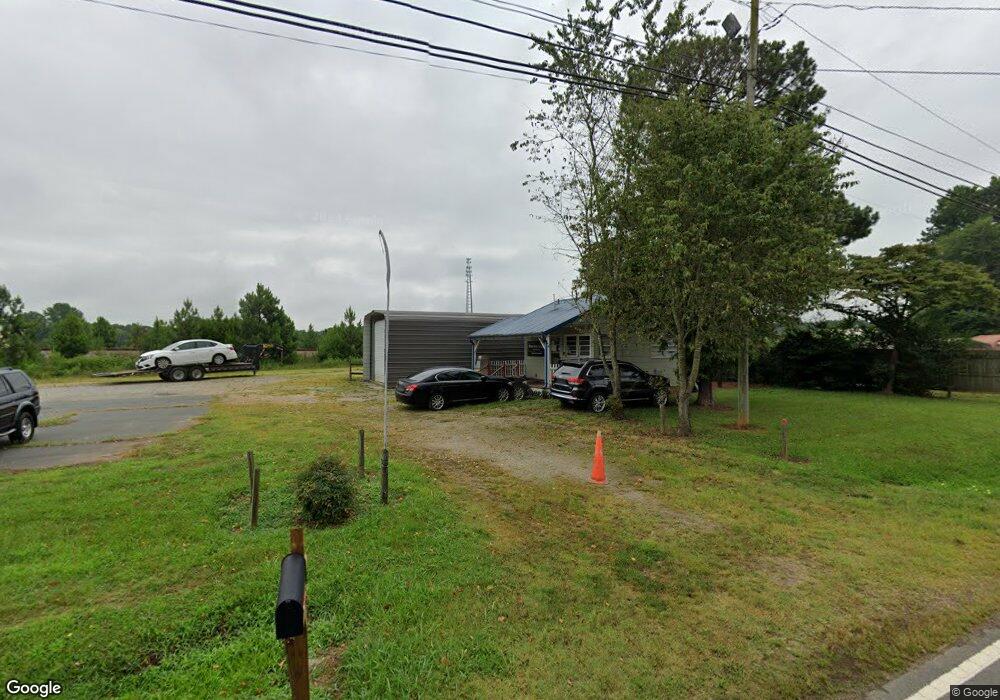
6015 S Main St Salisbury, NC 28147
Estimated Value: $72,187
Studio
--
Bath
432
Sq Ft
$167/Sq Ft
Est. Value
About This Home
This home is located at 6015 S Main St, Salisbury, NC 28147 and is currently estimated at $72,187, approximately $167 per square foot. 6015 S Main St is a home located in Rowan County with nearby schools including China Grove Elementary School, Southeast Middle School, and Jesse C Carson High School.
Ownership History
Date
Name
Owned For
Owner Type
Purchase Details
Closed on
Jun 23, 2023
Sold by
Dembys Used Cars Inc
Bought by
Harkey Lawrence and Harkey Mitchell
Current Estimated Value
Purchase Details
Closed on
Aug 5, 2004
Sold by
Brown Kenneth A and Brown Terri P
Bought by
Debys Used Cars Inc
Home Financials for this Owner
Home Financials are based on the most recent Mortgage that was taken out on this home.
Original Mortgage
$48,600
Interest Rate
6.22%
Mortgage Type
Commercial
Create a Home Valuation Report for This Property
The Home Valuation Report is an in-depth analysis detailing your home's value as well as a comparison with similar homes in the area
Purchase History
| Date | Buyer | Sale Price | Title Company |
|---|---|---|---|
| Harkey Lawrence | $65,000 | None Listed On Document | |
| Harkey Lawrence | $65,000 | None Listed On Document | |
| Debys Used Cars Inc | $49,500 | Chicago Title Insurance Comp |
Source: Public Records
Mortgage History
| Date | Status | Borrower | Loan Amount |
|---|---|---|---|
| Previous Owner | Debys Used Cars Inc | $48,600 |
Source: Public Records
Tax History
| Year | Tax Paid | Tax Assessment Tax Assessment Total Assessment is a certain percentage of the fair market value that is determined by local assessors to be the total taxable value of land and additions on the property. | Land | Improvement |
|---|---|---|---|---|
| 2025 | $486 | $72,589 | $38,940 | $33,649 |
| 2024 | $486 | $72,589 | $38,940 | $33,649 |
| 2023 | $486 | $72,589 | $38,940 | $33,649 |
| 2022 | $446 | $59,633 | $35,400 | $24,233 |
| 2021 | $442 | $59,633 | $35,400 | $24,233 |
| 2020 | $442 | $59,633 | $35,400 | $24,233 |
| 2019 | $442 | $59,633 | $35,400 | $24,233 |
| 2018 | $394 | $52,766 | $35,400 | $17,366 |
| 2017 | $388 | $52,766 | $35,400 | $17,366 |
| 2016 | $388 | $52,766 | $35,400 | $17,366 |
| 2015 | $394 | $52,766 | $35,400 | $17,366 |
| 2014 | $449 | $62,994 | $44,250 | $18,744 |
Source: Public Records
Map
Nearby Homes
- 5650 Bertie Ave
- 6255 Meadow Ln
- 355 Swink Ave
- 1080 Beckham Rd
- 1060 Beckham Rd
- 179 Spring Oak Dr
- 620 Mount Hope Church Rd
- 000 Brookfield Cir
- 0 Brookfield Cir Unit CAR4292885
- 735 Grace Church Rd
- 1352 Eva Ln
- 1675 N Main St
- 450 Black Bear St Unit 149p
- 460 Black Bear St Unit 148p
- 410 Black Bear St Unit 153p
- 465 Black Bear St Unit 156p
- 555 White Hare Ln Unit 80p
- 491 White Hare Ln Unit 75
- 1140 Peeler Rd
- 0 Shue Rd
- 6025 S Main St
- 6000 S Main St
- 5930 S Main St
- 6040 S Main St
- 6075 Bertie Ave
- 6070 S Main St
- 5910 S Main St
- 5865 S Main St
- 5800 S Main St
- 6090 S Main St
- 6020 Bertie Ave
- 5850 S Main St
- 5865 Bertie Ave
- 115 Karri Ln
- 5830 S Main St
- 5815 S Main St
- 5855 Bertie Ave
- 125 Karri Ln Unit H
- 5860 Bertie Ave Unit H
- 5835 Bertie Ave
Your Personal Tour Guide
Ask me questions while you tour the home.