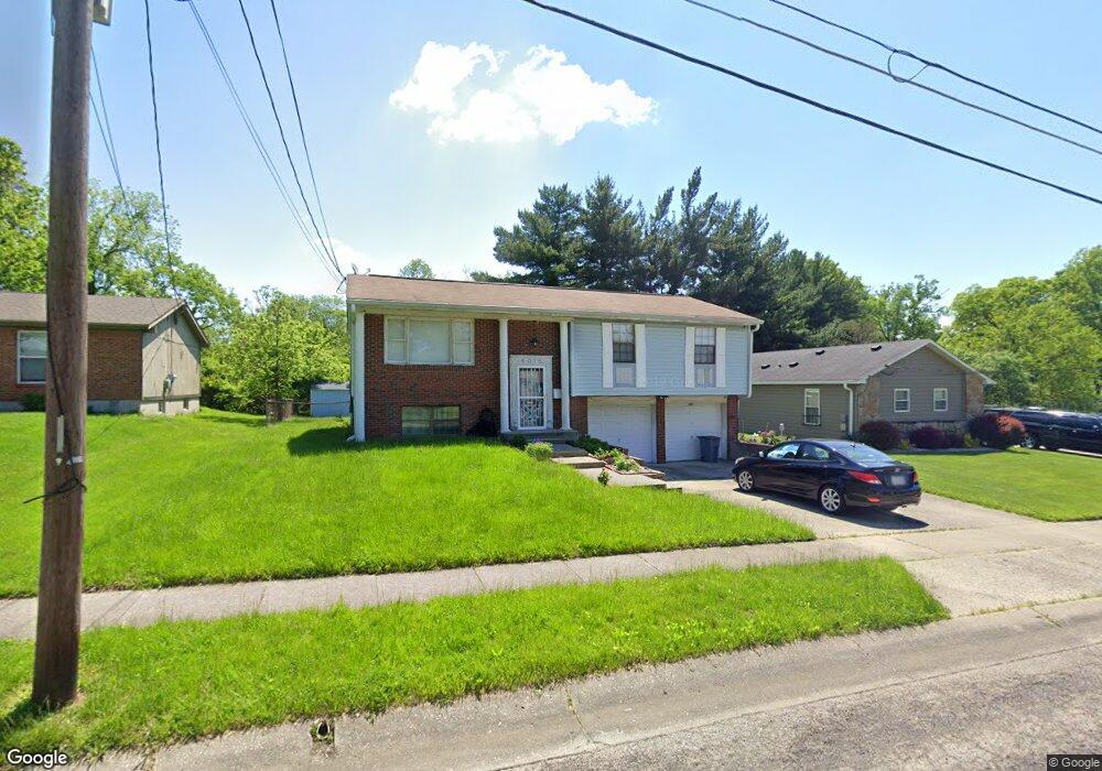
6016 Lillian Ave Cincinnati, OH 45213
Estimated Value: $263,160 - $361,000
3
Beds
2
Baths
1,628
Sq Ft
$189/Sq Ft
Est. Value
About This Home
This home is located at 6016 Lillian Ave, Cincinnati, OH 45213 and is currently estimated at $308,040, approximately $189 per square foot. 6016 Lillian Ave is a home located in Hamilton County with nearby schools including John P. Parker School, Shroder High School, and Clark Montessori High School.
Ownership History
Date
Name
Owned For
Owner Type
Purchase Details
Closed on
Oct 22, 2009
Sold by
Mobley Isabel
Bought by
Mobley Isabel B and Mobley Iberia Rebecca
Current Estimated Value
Purchase Details
Closed on
Dec 16, 2004
Sold by
Mobley Herman
Bought by
Mobley Isabel and Mobley Isabel B
Home Financials for this Owner
Home Financials are based on the most recent Mortgage that was taken out on this home.
Original Mortgage
$62,000
Outstanding Balance
$24,493
Interest Rate
2.99%
Mortgage Type
Fannie Mae Freddie Mac
Estimated Equity
$283,547
Create a Home Valuation Report for This Property
The Home Valuation Report is an in-depth analysis detailing your home's value as well as a comparison with similar homes in the area
Home Values in the Area
Average Home Value in this Area
Purchase History
We collect this data history from publicly available records. To have your information removed, we recommend requesting removal directly through your county’s website.
| Date | Buyer | Sale Price | Title Company |
|---|---|---|---|
| Mobley Isabel B | -- | Attorney | |
| Mobley Isabel | -- | -- |
Source: Public Records
Mortgage History
We collect this data history from publicly available records. To have your information removed, we recommend requesting removal directly through your county’s website.
| Date | Status | Borrower | Loan Amount |
|---|---|---|---|
| Open | Mobley Isabel | $62,000 |
Source: Public Records
Tax History
| Year | Tax Paid | Tax Assessment Tax Assessment Total Assessment is a certain percentage of the fair market value that is determined by local assessors to be the total taxable value of land and additions on the property. | Land | Improvement |
|---|---|---|---|---|
| 2025 | $3,956 | $61,695 | $9,097 | $52,598 |
| 2023 | $3,741 | $61,695 | $9,097 | $52,598 |
| 2022 | $3,022 | $42,267 | $6,661 | $35,606 |
| 2021 | $3,006 | $42,267 | $6,661 | $35,606 |
| 2020 | $2,974 | $42,267 | $6,661 | $35,606 |
| 2019 | $3,018 | $38,423 | $6,055 | $32,368 |
| 2018 | $3,021 | $38,423 | $6,055 | $32,368 |
| 2017 | $2,140 | $38,423 | $6,055 | $32,368 |
| 2016 | $2,305 | $38,122 | $5,565 | $32,557 |
| 2015 | $1,953 | $38,122 | $5,565 | $32,557 |
| 2014 | $1,966 | $38,122 | $5,565 | $32,557 |
| 2013 | $2,457 | $44,846 | $6,545 | $38,301 |
Source: Public Records
Map
Nearby Homes
- 6097 W Fordham Place
- 3830 Iberis Ave
- 3946 Cedarwood Place
- 3837 Iona Ave
- 3946 S Fordham Place
- 3765 Iona Ave
- 3962 S Fordham Place
- 3942 Standish Ave
- 6207 Coleridge Ave
- 6211 Coleridge Ave
- 3962 Standish Ave
- 5866 Kennedy Ave
- 3948 Odin Ave
- 3515 Ravenwood Ave
- 3947 Odin Ave
- 6501 Coleridge Ave
- 3848 Odin Ave
- 3822 Odin Ave
- 5846 Robison Rd
- 3529 Zinsle Ave
- 6020 Lillian Ave
- 6010 Lillian Ave
- 2 Lillian Ave
- 1 Lillian Ave
- 6024 Lillian Ave
- 6017 Lillian Ave
- 6013 Lillian Ave
- 6009 Lillian Ave
- 6028 Lillian Ave
- 6021 Lillian Ave
- lot Lillian Ave
- 6025 Lillian Ave
- 6024 Hedge Ave
- 6045 Hedge Ave
- 6032 Lillian Ave
- 6005 Lillian Ave
- 3820 Woodford Rd
- 6067 Hedge Ave
- 7 Hedge Ave
- 5 Hedge Ave
Your Personal Tour Guide
Ask me questions while you tour the home.