60160 Stoney Point Rd Vernonia, OR 97064
Estimated Value: $321,000 - $387,000
3
Beds
1
Bath
1,066
Sq Ft
$324/Sq Ft
Est. Value
About This Home
This home is located at 60160 Stoney Point Rd, Vernonia, OR 97064 and is currently estimated at $345,830, approximately $324 per square foot. 60160 Stoney Point Rd is a home located in Columbia County with nearby schools including Vernonia High School.
Ownership History
Date
Name
Owned For
Owner Type
Purchase Details
Closed on
Aug 25, 2023
Sold by
Larry O Bernardi O and Larry Janice F
Bought by
Bernardi Kimberly A and Enneberg Lucas Colin
Current Estimated Value
Home Financials for this Owner
Home Financials are based on the most recent Mortgage that was taken out on this home.
Original Mortgage
$325,000
Interest Rate
7.12%
Mortgage Type
New Conventional
Purchase Details
Closed on
Mar 17, 1993
Bought by
Bernardi Larry O and Bernardi Janice F
Create a Home Valuation Report for This Property
The Home Valuation Report is an in-depth analysis detailing your home's value as well as a comparison with similar homes in the area
Home Values in the Area
Average Home Value in this Area
Purchase History
| Date | Buyer | Sale Price | Title Company |
|---|---|---|---|
| Bernardi Kimberly A | $375,000 | Deschutes Title | |
| Bernardi Larry O | $30,000 | -- |
Source: Public Records
Mortgage History
| Date | Status | Borrower | Loan Amount |
|---|---|---|---|
| Previous Owner | Bernardi Kimberly A | $325,000 |
Source: Public Records
Tax History Compared to Growth
Tax History
| Year | Tax Paid | Tax Assessment Tax Assessment Total Assessment is a certain percentage of the fair market value that is determined by local assessors to be the total taxable value of land and additions on the property. | Land | Improvement |
|---|---|---|---|---|
| 2024 | $1,627 | $130,700 | $67,700 | $63,000 |
| 2023 | $1,619 | $126,900 | $59,360 | $67,540 |
| 2022 | $1,530 | $123,210 | $57,590 | $65,620 |
| 2021 | $1,487 | $119,630 | $55,620 | $64,010 |
| 2020 | $1,448 | $116,150 | $52,290 | $63,860 |
| 2019 | $1,314 | $112,770 | $50,330 | $62,440 |
| 2018 | $1,308 | $109,490 | $58,935 | $50,555 |
| 2017 | $1,280 | $106,310 | $51,530 | $54,780 |
| 2016 | $1,211 | $103,220 | $50,030 | $53,190 |
| 2015 | $1,127 | $100,220 | $52,170 | $48,050 |
| 2014 | $1,137 | $97,310 | $51,820 | $45,490 |
Source: Public Records
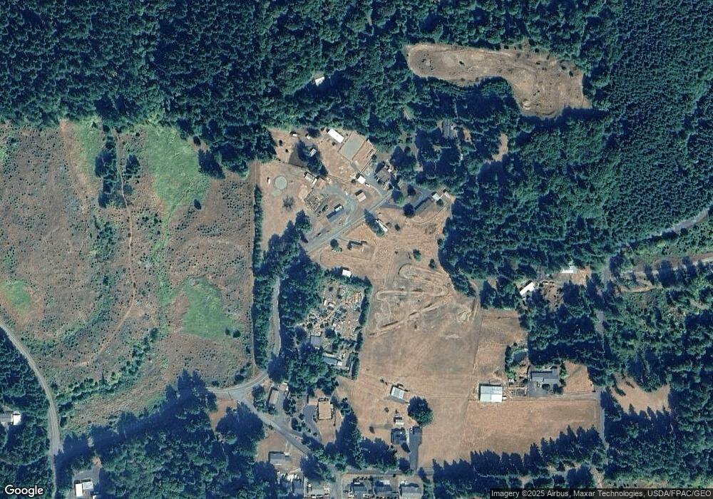
Map
Nearby Homes
- 251 E I St
- 233 E I St
- 158 E H St
- 144 E H St
- 0 Keasey Rd Unit 518725712
- 0000 Keasey Rd
- 0 Ave Unit 439855536
- 1852 N Mist Dr
- 0 Nehalem Hwy N
- 344 Mississippi Ave
- 176 North St
- 821 Bridge St
- 441 North St
- 959 Spencer Ave
- 935 Spencer Ave
- 875 Park Dr
- 1160 Rose Ave
- 927 Spencer Ave
- 1142 Clatsop St
- 1131 Clatsop St
- 602011 Stoney Point Rd
- 60201 Stoney Point Rd
- 60175 Stoney Point Rd
- 60204 Stoney Point Rd
- 60090 Stoney Point Rd
- 60220 Stoney Point Rd
- 18537 Mellinger Rd
- 60236 Stoney Point Rd
- 18539 Mellinger Rd
- 18368 Mellinger Rd
- 18619 Mellinger Rd
- 18731 Mellinger Rd
- 60265 Stoney Point Rd
- 18512 Mellinger Rd
- 18528 Mellinger Rd
- 18638 Mellinger Rd
- 1864 N Louisiana Ave
- 1875 N Louisiana Ave
- 159 E J St
- 143 E J St