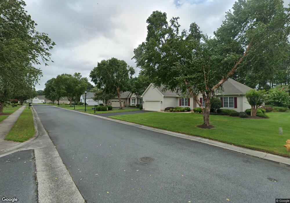
6017 Fire Fly Dr Salisbury, MD 21801
South Salisbury NeighborhoodEstimated Value: $347,937 - $382,000
3
Beds
2
Baths
1,936
Sq Ft
$186/Sq Ft
Est. Value
About This Home
This home is located at 6017 Fire Fly Dr, Salisbury, MD 21801 and is currently estimated at $359,484, approximately $185 per square foot. 6017 Fire Fly Dr is a home located in Wicomico County with nearby schools including Pemberton Elementary School, Salisbury Middle School, and James M. Bennett High School.
Ownership History
Date
Name
Owned For
Owner Type
Purchase Details
Closed on
Dec 15, 2010
Sold by
Lunsford Lura C
Bought by
Abbott Rodney M and Abbott Deborah S
Current Estimated Value
Purchase Details
Closed on
Jun 1, 2005
Sold by
Martin Ruark Llc
Bought by
Lunsford Lura C
Home Financials for this Owner
Home Financials are based on the most recent Mortgage that was taken out on this home.
Original Mortgage
$226,300
Interest Rate
5.94%
Mortgage Type
New Conventional
Create a Home Valuation Report for This Property
The Home Valuation Report is an in-depth analysis detailing your home's value as well as a comparison with similar homes in the area
Home Values in the Area
Average Home Value in this Area
Purchase History
| Date | Buyer | Sale Price | Title Company |
|---|---|---|---|
| Abbott Rodney M | $260,000 | -- | |
| Lunsford Lura C | $292,921 | -- |
Source: Public Records
Mortgage History
| Date | Status | Borrower | Loan Amount |
|---|---|---|---|
| Previous Owner | Lunsford Lura C | $226,300 | |
| Previous Owner | Lunsford Lura C | $28,250 |
Source: Public Records
Tax History Compared to Growth
Tax History
| Year | Tax Paid | Tax Assessment Tax Assessment Total Assessment is a certain percentage of the fair market value that is determined by local assessors to be the total taxable value of land and additions on the property. | Land | Improvement |
|---|---|---|---|---|
| 2025 | $2,567 | $287,033 | $0 | $0 |
| 2024 | $2,567 | $267,700 | $51,200 | $216,500 |
| 2023 | $2,419 | $244,633 | $0 | $0 |
| 2022 | $2,258 | $221,567 | $0 | $0 |
| 2021 | $2,029 | $198,500 | $30,200 | $168,300 |
| 2020 | $2,028 | $196,600 | $0 | $0 |
| 2019 | $2,038 | $194,700 | $0 | $0 |
| 2018 | $3,943 | $192,800 | $30,200 | $162,600 |
| 2017 | $3,943 | $192,800 | $0 | $0 |
| 2016 | -- | $192,800 | $0 | $0 |
| 2015 | $3,452 | $206,200 | $0 | $0 |
| 2014 | $3,452 | $205,467 | $0 | $0 |
Source: Public Records
Map
Nearby Homes
- 5998 Fire Fly Dr
- 28111 Van Tassel Way
- 5951 Fire Fly Dr
- 5952 Tappan Ln
- 1716 Severn St
- 6072 Bell Creek Dr
- 5926 Tappan Ln
- 701 E Upland Ct
- 6078 Bell Creek Dr
- 700 E Upland Ct
- 600 Upland Ct
- 803 Upland Dr
- 1115 Albritton Ln
- 1117 Albritton Ln
- 1105 Albritton Ln
- 1113 Albritton Ln
- 1111 Albritton Ln
- 6222 Albritton Ln
- 27965 White Pond Dr
- 1411 Chateau Dr
- 6025 Fire Fly Dr
- 6009 Fire Fly Dr
- 28162 Brouwer Way
- 6031 Fire Fly Dr
- 6020 Fire Fly Dr
- 6001 Fire Fly Dr
- 6028 Fire Fly Dr
- 0 Raynor Ln
- 5993 Fire Fly Dr
- 6034 Fire Fly Dr
- 28140 Cross Creek Dr
- 28156 Raynor Ln
- 28136 Cross Creek Dr
- 5992 Fire Fly Dr
- 6043 Fire Fly Dr
- 5987 Fire Fly Dr
- 6035 Tarry Town Rd
- 6035 Tarry Town Rd
- 5984 Fire Fly Dr
- 6023 Tarry Town Rd