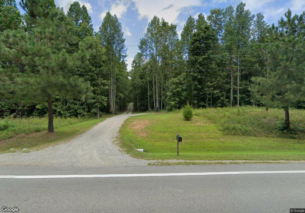
6018 Anderson Hwy Powhatan, VA 23139
Estimated Value: $430,000 - $540,364
4
Beds
3
Baths
2,012
Sq Ft
$241/Sq Ft
Est. Value
About This Home
This home is located at 6018 Anderson Hwy, Powhatan, VA 23139 and is currently estimated at $484,091, approximately $240 per square foot. 6018 Anderson Hwy is a home with nearby schools including Pocahontas Elementary School, Powhatan Elementary School, and Pocahontas Middle School.
Ownership History
Date
Name
Owned For
Owner Type
Purchase Details
Closed on
Dec 22, 2022
Sold by
New Images Inc
Bought by
Franklin Robert Logan
Current Estimated Value
Home Financials for this Owner
Home Financials are based on the most recent Mortgage that was taken out on this home.
Original Mortgage
$455,441
Outstanding Balance
$439,044
Interest Rate
6.36%
Mortgage Type
Construction
Estimated Equity
$45,047
Purchase Details
Closed on
May 11, 2022
Sold by
Burruss Edmund C
Bought by
New Images Inc
Purchase Details
Closed on
Feb 9, 2007
Create a Home Valuation Report for This Property
The Home Valuation Report is an in-depth analysis detailing your home's value as well as a comparison with similar homes in the area
Home Values in the Area
Average Home Value in this Area
Purchase History
| Date | Buyer | Sale Price | Title Company |
|---|---|---|---|
| Franklin Robert Logan | $479,412 | -- | |
| New Images Inc | $85,000 | -- | |
| -- | -- | -- |
Source: Public Records
Mortgage History
| Date | Status | Borrower | Loan Amount |
|---|---|---|---|
| Open | Franklin Robert Logan | $455,441 |
Source: Public Records
Tax History Compared to Growth
Tax History
| Year | Tax Paid | Tax Assessment Tax Assessment Total Assessment is a certain percentage of the fair market value that is determined by local assessors to be the total taxable value of land and additions on the property. | Land | Improvement |
|---|---|---|---|---|
| 2025 | $3,755 | $500,700 | $84,100 | $416,600 |
| 2024 | $3,199 | $463,600 | $77,900 | $385,700 |
| 2023 | $3,001 | $49,900 | $49,900 | $0 |
| 2022 | $374 | $49,900 | $49,900 | $0 |
| 2021 | $386 | $45,400 | $45,400 | $0 |
| 2020 | $386 | $44,400 | $44,400 | $0 |
| 2019 | $391 | $44,400 | $44,400 | $0 |
| 2018 | $393 | $44,400 | $44,400 | $0 |
| 2017 | $393 | $44,400 | $44,400 | $0 |
Source: Public Records
Map
Nearby Homes
- 00 Ballsville Rd
- 2281 Ballsville Rd
- 2215 Walnut Tree Blvd
- 2214 Walnut Tree Blvd
- 2679 Poplar Forest Dr
- 6320 Walnut Tree Dr
- 1990 Walnut Tree Rd
- 6584 Blenheim Rd
- 6610 Blenheim Rd
- 0 Miller Ln
- 2889 Trenholm Rd
- 2106 Old Tavern Rd
- 5388 Anderson Hwy
- 5364 Anderson Hwy
- 5350 Anderson Hwy
- 1566 Ballsville Rd
- 1642 Lakeside Dr
- 2021 Ridge Rd
- 669 Deep Run Rd
- 5795 Old Buckingham Rd
- 6060 Anderson Hwy
- 6028 Anderson Hwy
- 6032 Anderson Hwy
- 6034 Anderson Hwy
- 6105 Anderson Hwy
- 6036 Anderson Hwy
- 6098 Preakness Stakes Ln
- 6104 Preakness Stakes Ln
- 6110 Preakness Stakes Ln
- 6116 Preakness Stakes Ln
- 6122 Preakness Stakes Ln
- 0 Preakness Stakes Ln Unit 2909662
- 0 Preakness Stakes Ln Unit 2909665
- 0 Preakness Stakes Ln Unit 2909668
- 0 Preakness Stakes Ln Unit 2909562
- 0 Preakness Stakes Ln Unit 2909590
- 0 Preakness Stakes Ln Unit 2909575
- 0 Preaknee Stakes Ln Unit 2931124
- 0 Preakness Stakes Ln Unit 2930966
