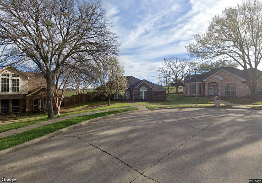
6018 Brookline Dr Rowlett, TX 75089
Springfield NeighborhoodEstimated Value: $334,140 - $365,000
3
Beds
2
Baths
1,845
Sq Ft
$191/Sq Ft
Est. Value
About This Home
This home is located at 6018 Brookline Dr, Rowlett, TX 75089 and is currently estimated at $351,785, approximately $190 per square foot. 6018 Brookline Dr is a home located in Dallas County with nearby schools including Harmony Science Academy - Garland, Harmony School of Innovation - Garland, and Lake Cities Montessori School.
Ownership History
Date
Name
Owned For
Owner Type
Purchase Details
Closed on
Nov 1, 1993
Sold by
Koegel Albert C and Koegel Mary
Bought by
Cross Allen
Current Estimated Value
Home Financials for this Owner
Home Financials are based on the most recent Mortgage that was taken out on this home.
Original Mortgage
$25,000
Interest Rate
6.96%
Mortgage Type
Seller Take Back
Create a Home Valuation Report for This Property
The Home Valuation Report is an in-depth analysis detailing your home's value as well as a comparison with similar homes in the area
Home Values in the Area
Average Home Value in this Area
Purchase History
| Date | Buyer | Sale Price | Title Company |
|---|---|---|---|
| Cross Allen | -- | -- |
Source: Public Records
Mortgage History
| Date | Status | Borrower | Loan Amount |
|---|---|---|---|
| Closed | Cross Allen | $25,000 |
Source: Public Records
Tax History
| Year | Tax Paid | Tax Assessment Tax Assessment Total Assessment is a certain percentage of the fair market value that is determined by local assessors to be the total taxable value of land and additions on the property. | Land | Improvement |
|---|---|---|---|---|
| 2025 | $982 | $327,100 | $84,000 | $243,100 |
| 2024 | $982 | $327,100 | $84,000 | $243,100 |
| 2023 | $982 | $324,680 | $84,000 | $240,680 |
| 2022 | $6,784 | $279,960 | $84,000 | $195,960 |
| 2021 | $5,590 | $213,550 | $50,400 | $163,150 |
| 2020 | $5,640 | $240,740 | $0 | $0 |
| 2019 | $6,371 | $221,710 | $42,000 | $179,710 |
| 2018 | $6,416 | $221,710 | $42,000 | $179,710 |
| 2017 | $5,724 | $197,250 | $42,000 | $155,250 |
| 2016 | $5,018 | $172,930 | $31,500 | $141,430 |
| 2015 | $1,977 | $133,150 | $30,000 | $103,150 |
| 2014 | $1,977 | $127,980 | $30,000 | $97,980 |
Source: Public Records
Map
Nearby Homes
- 1513 Columbus Dr
- 5806 Beacon Dr
- 5810 Kittyhawk Dr
- 6307 Teresa Ln
- 6317 Teresa Ln
- 6613 Springmeadow Ln
- 5702 Antioch Dr
- 6518 Day Farm Ct
- 6409 Wildhaven Dr
- 6529 Bandalia Dr
- 6518 Wildhaven Dr
- 6306 Debbie Cir
- 6004 Mimosa Ln
- 6017 Mimosa Ln
- 6317 Locust St
- 7005 Buckhorn Dr
- 6710 Falcon St
- 6921 Hominy Ridge
- 5516 Maple Ln
- 5905 Cedar Ln
- 6022 Brookline Dr
- 6014 Brookline Dr
- 6026 Brookline Dr
- 6010 Brookline Dr
- 6106 Dexham Rd
- 6005 Brookline Dr
- 6006 Brookline Dr
- 6110 Dexham Rd
- 5901 Petunia Ln
- 5817 Petunia Ln
- 5813 Petunia Ln
- 6001 Brookline Dr
- 5809 Petunia Ln
- 5809 Petunia Ln
- 6002 Brookline Dr
- 6114 Dexham Rd
- 5805 Petunia Ln
- 5917 Brookline Dr
- 5918 Brookline Dr
- 5801 Petunia Ln
Your Personal Tour Guide
Ask me questions while you tour the home.