6018 Upper McConkie Rd Vernal, UT 84078
Estimated Value: $311,675 - $488,000
--
Bed
--
Bath
1,809
Sq Ft
$214/Sq Ft
Est. Value
About This Home
This home is located at 6018 Upper McConkie Rd, Vernal, UT 84078 and is currently estimated at $386,419, approximately $213 per square foot. 6018 Upper McConkie Rd is a home with nearby schools including Maeser School, Uintah Middle School, and Vernal Middle School.
Ownership History
Date
Name
Owned For
Owner Type
Purchase Details
Closed on
Apr 19, 2024
Sold by
Meinrod Rebecca
Bought by
Keddy Rebecca and Meinrod Chad R
Current Estimated Value
Purchase Details
Closed on
Jun 3, 2009
Sold by
Meinrod Robert A and Meinrod Rebecca K
Bought by
Meinrod Rebecca
Home Financials for this Owner
Home Financials are based on the most recent Mortgage that was taken out on this home.
Original Mortgage
$244,169
Interest Rate
4.78%
Mortgage Type
FHA
Create a Home Valuation Report for This Property
The Home Valuation Report is an in-depth analysis detailing your home's value as well as a comparison with similar homes in the area
Home Values in the Area
Average Home Value in this Area
Purchase History
| Date | Buyer | Sale Price | Title Company |
|---|---|---|---|
| Keddy Rebecca | -- | None Listed On Document | |
| Meinrod Rebecca | -- | -- |
Source: Public Records
Mortgage History
| Date | Status | Borrower | Loan Amount |
|---|---|---|---|
| Previous Owner | Meinrod Rebecca | $244,169 |
Source: Public Records
Tax History Compared to Growth
Tax History
| Year | Tax Paid | Tax Assessment Tax Assessment Total Assessment is a certain percentage of the fair market value that is determined by local assessors to be the total taxable value of land and additions on the property. | Land | Improvement |
|---|---|---|---|---|
| 2024 | $1,469 | $177,354 | $36,087 | $141,267 |
| 2023 | $1,469 | $133,512 | $36,087 | $97,425 |
| 2022 | $1,095 | $107,723 | $36,087 | $71,636 |
| 2021 | $1,215 | $98,049 | $26,413 | $71,636 |
| 2020 | $1,097 | $90,935 | $26,000 | $64,935 |
| 2019 | $1,110 | $90,935 | $26,000 | $64,935 |
| 2018 | $1,109 | $90,935 | $26,000 | $64,935 |
| 2017 | $11 | $90,935 | $26,000 | $64,935 |
| 2016 | $1,108 | $99,789 | $26,000 | $73,789 |
| 2015 | $1,046 | $102,293 | $26,000 | $76,293 |
| 2014 | $1,029 | $102,293 | $26,000 | $76,293 |
| 2013 | $1,052 | $102,293 | $26,000 | $76,293 |
Source: Public Records
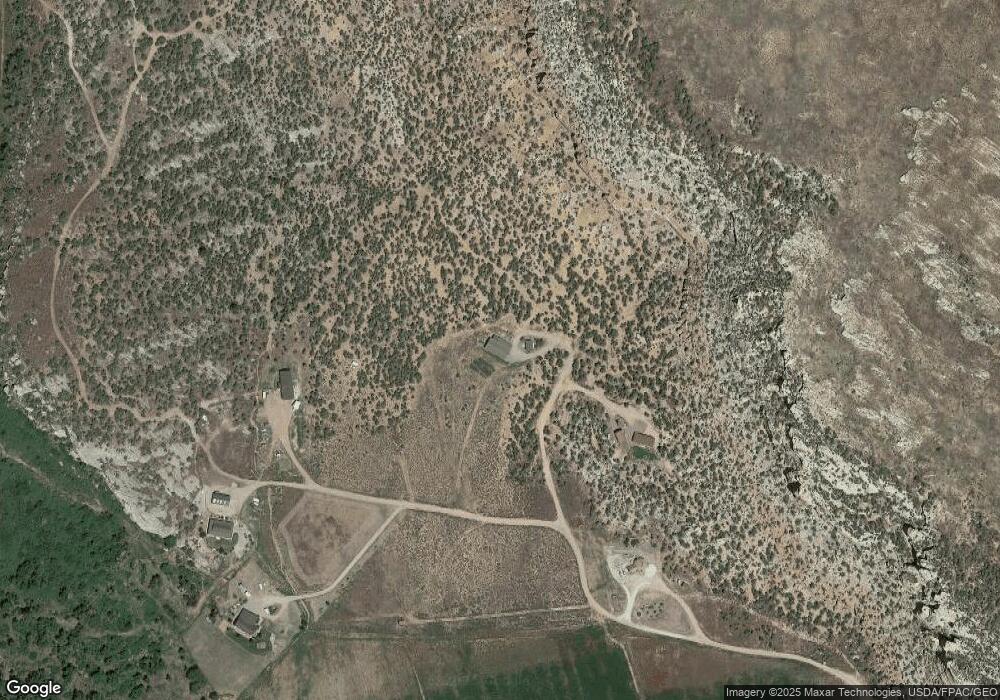
Map
Nearby Homes
- 6407 N Dry Fork Canyon Rd
- 7461 Deep Creek Rd
- 7748 Mountain Dell Dr
- 6569 Dry Fork Settlement Rd
- 8552 W Sawtooth Park Dr
- 7737 Sawtooth Cove Dr
- 7424 Old Power Plant Rd
- 3443 N 3500 W
- 4835 W Hillside Dr
- 4845 W Hillside Dr
- 2745 N 2500 W
- 2741 N 2500 W
- 118 W 4180 S
- 3370 W Pit Rd
- 4571 W Hillside Dr
- 1482 N 4075 W
- 1388 N 4075 W
- 1298 N 4075 W
- 1320 N 4075 W
- 1428 N 4075 W
- 6196 Upper McConkie Rd
- 6334 Dry Fork Canyon Rd
- 6232 McConkie Rd
- 6603 N 6500 W
- 6519 N 6500 W
- 6190 Dry Fork Canyon Rd
- 6114 Dry Fork Canyon Rd
- 6240 McConkie Rd
- 6369 Dry Fork Canyon Rd
- 6434 Dry Fork Settlement Rd
- 6434 Dry Fork Canyon Rd
- 6434 N Dry Fork Canyon Rd
- 6434 Dry Fork Canyon
- 6400 Dry Fork Canyon Rd
- 6420 Dry Fork Canyon Rd
- 6420 Dry Fork Canyon Rd
- 5974 Dry Fork Canyon Rd
- 6228 McConkie Rd
- 6440 Dry Fork Canyon Rd
- 6407 Dry Fork Canyon Rd