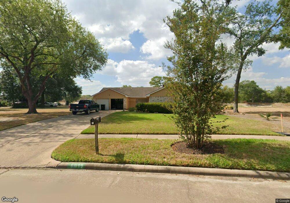
6019 Darkwood Dr Houston, TX 77088
Greater Inwood NeighborhoodEstimated Value: $232,000 - $251,247
4
Beds
3
Baths
2,102
Sq Ft
$115/Sq Ft
Est. Value
About This Home
This home is located at 6019 Darkwood Dr, Houston, TX 77088 and is currently estimated at $242,562, approximately $115 per square foot. 6019 Darkwood Dr is a home located in Harris County with nearby schools including Edward a Vines EC/Pre-K/K School, J. Ruth Smith Elementary, and Hoffman Middle School.
Ownership History
Date
Name
Owned For
Owner Type
Purchase Details
Closed on
Apr 22, 2010
Sold by
Flynn William F and Flynn Matthew J
Bought by
Astolfo Steven P and Vizuet Maria
Current Estimated Value
Home Financials for this Owner
Home Financials are based on the most recent Mortgage that was taken out on this home.
Original Mortgage
$65,000
Outstanding Balance
$43,099
Interest Rate
4.91%
Mortgage Type
New Conventional
Estimated Equity
$199,463
Purchase Details
Closed on
Sep 21, 2009
Sold by
Flynn Thomas E and Flynn Thomas Egan
Bought by
Flynn Matthew J and Flynn Daniel J
Create a Home Valuation Report for This Property
The Home Valuation Report is an in-depth analysis detailing your home's value as well as a comparison with similar homes in the area
Home Values in the Area
Average Home Value in this Area
Purchase History
| Date | Buyer | Sale Price | Title Company |
|---|---|---|---|
| Astolfo Steven P | -- | American Title Company | |
| Flynn Matthew J | -- | American Title Company |
Source: Public Records
Mortgage History
| Date | Status | Borrower | Loan Amount |
|---|---|---|---|
| Open | Astolfo Steven P | $65,000 |
Source: Public Records
Tax History Compared to Growth
Tax History
| Year | Tax Paid | Tax Assessment Tax Assessment Total Assessment is a certain percentage of the fair market value that is determined by local assessors to be the total taxable value of land and additions on the property. | Land | Improvement |
|---|---|---|---|---|
| 2025 | $1,635 | $200,835 | $37,014 | $163,821 |
| 2024 | $1,635 | $205,055 | $34,547 | $170,508 |
| 2023 | $1,635 | $205,055 | $34,547 | $170,508 |
| 2022 | $4,462 | $201,279 | $34,547 | $166,732 |
| 2021 | $4,248 | $172,021 | $18,137 | $153,884 |
| 2020 | $4,058 | $156,675 | $18,137 | $138,538 |
| 2019 | $3,867 | $139,761 | $18,137 | $121,624 |
| 2018 | $1,757 | $134,845 | $16,503 | $118,342 |
| 2017 | $3,577 | $134,845 | $16,503 | $118,342 |
| 2016 | $3,322 | $125,214 | $16,503 | $108,711 |
| 2015 | $3,052 | $125,214 | $16,503 | $108,711 |
| 2014 | $3,052 | $114,680 | $16,503 | $98,177 |
Source: Public Records
Map
Nearby Homes
- 7014 Bent Branch Dr
- 5907 Darkwood Dr
- 6918 Bent Branch Dr
- 5906 Lawn Ln
- 5914 Lawn Ln
- 6931 Wagonwheel Ln
- 6202 Wagonwheel Cir
- 7526 Antoine Dr
- 7146 Bayou Forest Dr
- 7211 Deep Forest Dr
- 7727 Green Lawn Dr
- 7606 Victory Dr
- 6311 Fairwood Dr
- 5710 Council Grove Ln
- 0 Maple Hill Dr
- 7750 Green Lawn Dr
- 7218 Jadewood Dr Unit 770
- 7219 Ridge Oak Dr
- 7728 Challie Ln
- 6338 Maple Hill Dr
- 6023 Darkwood Dr
- 6015 Darkwood Dr
- 6027 Darkwood Dr
- 6011 Darkwood Dr
- 6031 Darkwood Dr
- 6007 Darkwood Dr
- 6026 Darkwood Dr
- 6006 Darkwood Dr
- 6035 Darkwood Dr
- 6003 Darkwood Dr
- 6030 Darkwood Dr
- 5946 Bent Bough Ln
- 6034 Darkwood Dr
- 5951 Darkwood Dr
- 6039 Darkwood Dr
- 7011 Alabonson Rd
- 6038 Darkwood Dr
- 7013 Alabonson Rd
- 7015 Alabonson Rd
- 7017 Alabonson Rd