Estimated Value: $941,978 - $1,298,000
Studio
--
Bath
2,520
Sq Ft
$432/Sq Ft
Est. Value
About This Home
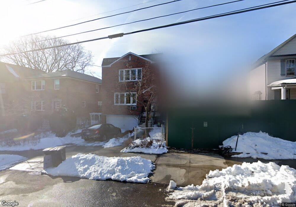
This home is located at 6019 Fieldston Rd, Bronx, NY 10471 and is currently estimated at $1,088,995, approximately $432 per square foot. 6019 Fieldston Rd is a home located in Bronx County with nearby schools including P.S. 81 - Robert J. Christen, Riverdale Kingsbridge Academy, and St Margaret Of Cortona School.
Ownership History
Date
Name
Owned For
Owner Type
Purchase Details
Closed on
Jul 6, 1999
Sold by
Conigliaro Ann C and Moroch Dorothy M
Bought by
Krivosheeva Tatiana
Current Estimated Value
Home Financials for this Owner
Home Financials are based on the most recent Mortgage that was taken out on this home.
Original Mortgage
$215,000
Interest Rate
7.86%
Create a Home Valuation Report for This Property
The Home Valuation Report is an in-depth analysis detailing your home's value as well as a comparison with similar homes in the area
Purchase History
| Date | Buyer | Sale Price | Title Company |
|---|---|---|---|
| Krivosheeva Tatiana | $382,000 | Commonwealth Land Title Ins |
Source: Public Records
Mortgage History
| Date | Status | Borrower | Loan Amount |
|---|---|---|---|
| Previous Owner | Krivosheeva Tatiana | $215,000 |
Source: Public Records
Tax History
| Year | Tax Paid | Tax Assessment Tax Assessment Total Assessment is a certain percentage of the fair market value that is determined by local assessors to be the total taxable value of land and additions on the property. | Land | Improvement |
|---|---|---|---|---|
| 2025 | $11,024 | $57,197 | $14,077 | $43,120 |
| 2024 | $11,024 | $56,286 | $13,975 | $42,311 |
| 2023 | $10,500 | $53,100 | $15,180 | $37,920 |
| 2022 | $9,762 | $50,340 | $15,180 | $35,160 |
| 2021 | $10,330 | $52,860 | $15,180 | $37,680 |
| 2020 | $9,793 | $56,580 | $15,180 | $41,400 |
| 2019 | $9,678 | $57,360 | $15,180 | $42,180 |
| 2018 | $9,346 | $47,306 | $12,585 | $34,721 |
| 2017 | $8,798 | $44,629 | $12,273 | $32,356 |
| 2016 | $8,107 | $42,103 | $13,118 | $28,985 |
| 2015 | $5,687 | $39,720 | $16,860 | $22,860 |
| 2014 | $5,687 | $39,720 | $16,860 | $22,860 |
Source: Public Records
Map
Nearby Homes
- 6036 Liebig Ave
- 6126 Fieldston Rd
- 227 W 260th St
- 360 W 262nd St
- 6601 Broadway Unit 6I
- 5918 Delafield Ave
- 5824 Fieldston Rd
- 351 W 262nd St
- 5959 Delafield Ave
- 204 W 260th St
- 5715 Mosholu Ave Unit 2E
- 6209 Spencer Terrace
- 310 W 263rd St
- 6004 Netherland Ave
- 5775 Mosholu Ave Unit 3A
- 6535 Broadway Unit 2G
- 6535 Broadway Unit 6
- 6535 Broadway Unit 1G
- 6535 Broadway Unit 2
- 6535 Broadway Unit 2A
- 6031 Fieldston Rd
- 6015 Fieldston Rd Unit 2
- 6015 Fieldston Rd Unit Top Floor
- 6015 Fieldston Rd
- 6015 Fieldston Rd Unit 1
- 6033 Fieldston Rd
- 6007 Fieldston Rd
- 6035 Fieldston Rd
- 6030 Tyndall Ave
- 6026 Tyndall Ave
- 6005 Fieldston Rd
- 6037 Fieldston Rd
- 6037 Fieldston Rd Unit 2
- 6034 Tyndall Ave
- 6024 Tyndall Ave
- 6036 Tyndall Ave
- 6001 Fieldston Rd
- 6022 Tyndall Ave
- 6038 Tyndall Ave
- 6038 Tyndall Ave Unit 2
Your Personal Tour Guide
Ask me questions while you tour the home.