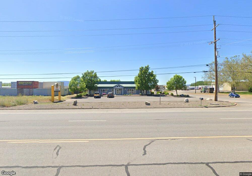
6019 Hwy 62 Central Point, OR 97520
Estimated Value: $1,479,364
--
Bed
--
Bath
3,132
Sq Ft
$472/Sq Ft
Est. Value
About This Home
This home is located at 6019 Hwy 62, Central Point, OR 97520 and is currently estimated at $1,479,364, approximately $472 per square foot. 6019 Hwy 62 is a home located in Jackson County with nearby schools including Sams Valley Elementary School, Scenic Middle School, and Crater High School.
Ownership History
Date
Name
Owned For
Owner Type
Purchase Details
Closed on
Jul 29, 2005
Sold by
Smith William A
Bought by
6012 Highway 62 Llc
Current Estimated Value
Purchase Details
Closed on
Jan 3, 2005
Sold by
Huffman & Wright Logging Co
Bought by
Smith William A
Create a Home Valuation Report for This Property
The Home Valuation Report is an in-depth analysis detailing your home's value as well as a comparison with similar homes in the area
Home Values in the Area
Average Home Value in this Area
Purchase History
| Date | Buyer | Sale Price | Title Company |
|---|---|---|---|
| 6012 Highway 62 Llc | -- | -- | |
| Smith William A | $850,000 | First American |
Source: Public Records
Tax History Compared to Growth
Tax History
| Year | Tax Paid | Tax Assessment Tax Assessment Total Assessment is a certain percentage of the fair market value that is determined by local assessors to be the total taxable value of land and additions on the property. | Land | Improvement |
|---|---|---|---|---|
| 2025 | $10,298 | $838,160 | $309,720 | $528,440 |
| 2024 | $10,298 | $813,750 | $300,710 | $513,040 |
| 2023 | $9,955 | $531,770 | $291,960 | $239,810 |
| 2022 | $6,558 | $531,770 | $291,960 | $239,810 |
| 2021 | $6,372 | $516,290 | $283,460 | $232,830 |
| 2020 | $5,574 | $461,770 | $275,210 | $186,560 |
| 2019 | $5,609 | $448,330 | $267,200 | $181,130 |
| 2018 | $5,598 | $415,130 | $247,410 | $167,720 |
| 2017 | $5,213 | $415,130 | $247,410 | $167,720 |
| 2016 | $5,013 | $399,240 | $237,940 | $161,300 |
| 2015 | $5,072 | $411,470 | $245,230 | $166,240 |
| 2014 | $5,099 | $411,470 | $245,230 | $166,240 |
Source: Public Records
Map
Nearby Homes
- 6348 Crater Lake Hwy
- 1182 E Justice Rd
- 1729 E Gregory Rd
- 5011 Highway 62
- 5156 Peace Ln
- 1250 Vilas Rd
- 1816 E Vilas Rd
- 1151 Helicopter Way
- 1141 Helicopter Way
- 2453 Crater Lake Hwy
- 4676 Industry Dr
- 4702 Industry Dr
- 862 Enterprise Dr
- 4824 Airway Dr Unit 371W06BB410
- 4692 Crater Lake Ave Unit 600
- 2507 Agate Meadows
- 225 Wilson Rd
- 2956 Agate Meadows Cir
- 2457 Coker Butte Rd
- 2618 Carr St
- 6019 Highway 62 Rd
- 6019 Oregon 62
- 6019 Crater Lake Hwy
- 5889 Crater Lake Hwy
- 6061 Crater Lake Hwy
- 5885 Crater Lake Hwy Unit A
- 5885 Crater Lake Hwy Unit N
- 5885 Crater Lake Hwy Unit S
- 5885 Crater Lake Hwy
- 5877 Crater Lake Hwy
- 6006 Crater Lake Ave
- 6002 Crater Lake Ave
- 5867 Crater Lake Hwy
- 6006 Crater Lake Ave
- 5863 Crater Lake Hwy
- 6002 Crater Lake Ave
- 6022 Crater Lake Hwy
- 5855 Crater Lake Hwy
- 6115 Crater Lake Hwy
- 6022 Crater Lake Ave