602 Aspen Dr Olathe, CO 81425
Estimated Value: $286,000 - $339,000
--
Bed
--
Bath
1,662
Sq Ft
$188/Sq Ft
Est. Value
About This Home
This home is located at 602 Aspen Dr, Olathe, CO 81425 and is currently estimated at $312,555, approximately $188 per square foot. 602 Aspen Dr is a home with nearby schools including Olathe Elementary School, Olathe Middle and High School, and Olathe Middle School.
Ownership History
Date
Name
Owned For
Owner Type
Purchase Details
Closed on
Jun 1, 1999
Sold by
Cox Thomas J
Bought by
Cox Patricia L and Cox Thomas J
Current Estimated Value
Purchase Details
Closed on
May 28, 1999
Sold by
Cox Thomas J and Cox Patricia L
Bought by
Cox Thomas J
Purchase Details
Closed on
Oct 10, 1975
Sold by
Leger Delmar L and Leger Louise
Bought by
Cox Thomas J and Cox Patricia L
Create a Home Valuation Report for This Property
The Home Valuation Report is an in-depth analysis detailing your home's value as well as a comparison with similar homes in the area
Home Values in the Area
Average Home Value in this Area
Purchase History
| Date | Buyer | Sale Price | Title Company |
|---|---|---|---|
| Cox Patricia L | -- | -- | |
| Cox Thomas J | -- | -- | |
| Cox Thomas J | $25,900 | -- |
Source: Public Records
Tax History Compared to Growth
Tax History
| Year | Tax Paid | Tax Assessment Tax Assessment Total Assessment is a certain percentage of the fair market value that is determined by local assessors to be the total taxable value of land and additions on the property. | Land | Improvement |
|---|---|---|---|---|
| 2024 | $1,451 | $18,330 | $3,140 | $15,190 |
| 2023 | $1,451 | $22,840 | $3,910 | $18,930 |
| 2022 | $1,091 | $14,800 | $2,240 | $12,560 |
| 2021 | $1,127 | $15,230 | $2,310 | $12,920 |
| 2020 | $846 | $11,640 | $1,840 | $9,800 |
| 2019 | $820 | $11,640 | $1,840 | $9,800 |
| 2018 | $754 | $10,350 | $1,550 | $8,800 |
| 2017 | $741 | $10,350 | $1,550 | $8,800 |
| 2016 | $648 | $9,160 | $1,310 | $7,850 |
| 2015 | $603 | $9,160 | $1,310 | $7,850 |
| 2014 | $548 | $8,830 | $1,310 | $7,520 |
Source: Public Records
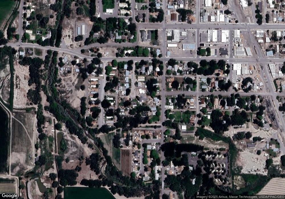
Map
Nearby Homes
- 615 S Church Ave
- 612 S Church Ave
- 414 S 3rd St
- 217 N Highway 50 Business Loop
- 103 N Grand Ave
- Lot 2(TBD) Wilson Ave
- 6910 High Mesa Rd
- TBD N River Rd
- 60433 Falcon Rd
- 60142 Highway 50
- 7773 High Mesa Rd
- 7655 6075 Rd
- 6617 5700 Rd
- 61272 Falcon Rd
- 6721 6150 Rd
- 7062 6150 Rd
- 60799 Goodieville Ct
- 58286 Blossom Rd
- 3847 5725 Rd
- 61537 Grand View Ct
- 528 Aspen Dr
- 604 Aspen Dr
- 609 S Church Ave
- 601 S Church Ave
- 601 Church Ave
- 609 Church Ave
- 520 Aspen Dr
- 101 SW 7th St
- 625 Church Ave
- 111 SW 7th St
- 101 & 103 SW 7th St
- 601 Aspen Dr
- 527 Aspen Dr
- 512 Aspen Dr
- 521 Aspen Dr
- 615 Church Ave
- 0 Church St Unit 754969
- 0 Church St Unit 674310
- 513 S Church Ave
- 513 Aspen Dr