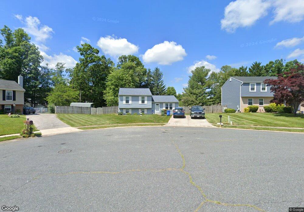
602 Blackport Ct Bel Air, MD 21014
Estimated Value: $367,289
--
Bed
1
Bath
2,116
Sq Ft
$174/Sq Ft
Est. Value
About This Home
This home is located at 602 Blackport Ct, Bel Air, MD 21014 and is currently estimated at $367,289, approximately $173 per square foot. 602 Blackport Ct is a home located in Harford County with nearby schools including Red Pump Elementary School, Bel Air Middle School, and Bel Air High School.
Ownership History
Date
Name
Owned For
Owner Type
Purchase Details
Closed on
Apr 8, 1999
Sold by
Deavers Grover G
Bought by
Shields John Bernarr and Shields Brenda Joy
Current Estimated Value
Purchase Details
Closed on
Nov 15, 1983
Sold by
Baltimore Co Serv Corp
Bought by
Christesen Steven D
Home Financials for this Owner
Home Financials are based on the most recent Mortgage that was taken out on this home.
Original Mortgage
$69,000
Interest Rate
13.47%
Create a Home Valuation Report for This Property
The Home Valuation Report is an in-depth analysis detailing your home's value as well as a comparison with similar homes in the area
Home Values in the Area
Average Home Value in this Area
Purchase History
| Date | Buyer | Sale Price | Title Company |
|---|---|---|---|
| Shields John Bernarr | $130,000 | -- | |
| Christesen Steven D | $72,700 | -- |
Source: Public Records
Mortgage History
| Date | Status | Borrower | Loan Amount |
|---|---|---|---|
| Previous Owner | Christesen Steven D | $69,000 | |
| Closed | Shields John Bernarr | -- |
Source: Public Records
Tax History Compared to Growth
Tax History
| Year | Tax Paid | Tax Assessment Tax Assessment Total Assessment is a certain percentage of the fair market value that is determined by local assessors to be the total taxable value of land and additions on the property. | Land | Improvement |
|---|---|---|---|---|
| 2025 | -- | $308,200 | $93,300 | $214,900 |
| 2024 | -- | $294,233 | $0 | $0 |
| 2023 | -- | $280,267 | $0 | $0 |
| 2022 | $2,902 | $266,300 | $93,300 | $173,000 |
| 2021 | $3,073 | $266,300 | $93,300 | $173,000 |
| 2020 | $3,073 | $266,300 | $93,300 | $173,000 |
| 2019 | $3,077 | $266,600 | $117,500 | $149,100 |
| 2018 | $2,990 | $261,500 | $0 | $0 |
| 2017 | $2,932 | $266,600 | $0 | $0 |
| 2016 | -- | $251,300 | $0 | $0 |
| 2015 | $2,625 | $246,767 | $0 | $0 |
| 2014 | $2,625 | $242,233 | $0 | $0 |
Source: Public Records
Map
Nearby Homes
- 1346 Vanderbilt Rd
- 617 Yankee Doodle Dr
- 1316 Ipswich Dr
- 1353 Sweetbriar Ln
- 1516 Cedarwood Dr
- 1208 Saint Francis Rd
- 711 Eastwood Ct
- 400 Birchwood Manor Ln
- 809 Peppard Dr
- 817 Peppard Dr
- 222 Steed Ln
- 119 Stoneleigh Rd
- 903 Garland Ct
- 827 Van Dyke Ln
- 1605 Samantha Dr
- 752 Roland Ave
- 747 Roland Ave
- 904 Martell Ct Unit E
- 914 Gainsborough Ct
- 900 Creek Park Rd
- 600 Blackport Ct
- 614 Yarmouth Ln
- 612 Yarmouth Ln
- 616 Yarmouth Ln
- 601 Blackport Ct
- 606 Blackport Ct
- 610 Yarmouth Ln
- 606 Yarmouth Ln
- 608 Yarmouth Ln
- 603 Blackport Ct
- 618 Yarmouth Ln
- 605 Blackport Ct
- 604 Yarmouth Ln
- 1367 Gates Head Dr
- 602 Yarmouth Ln
- 617 Yarmouth Ln
- 1369 Gates Head Dr
- 615 Yarmouth Ln
- 613 Yarmouth Ln
- 1353 Gates Head Dr