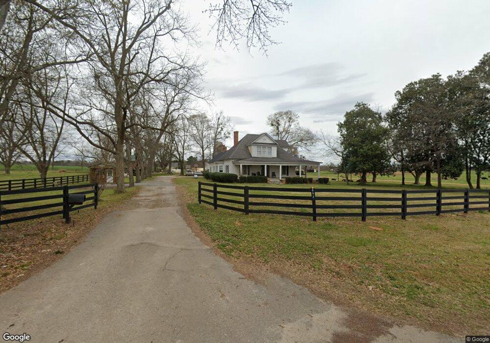
602 Brent Rd Barnesville, GA 30204
Estimated Value: $264,000 - $373,000
3
Beds
2
Baths
2,033
Sq Ft
$145/Sq Ft
Est. Value
About This Home
This home is located at 602 Brent Rd, Barnesville, GA 30204 and is currently estimated at $294,101, approximately $144 per square foot. 602 Brent Rd is a home located in Lamar County with nearby schools including Lamar County Primary School, Lamar County Elementary School, and Lamar County Middle School.
Ownership History
Date
Name
Owned For
Owner Type
Purchase Details
Closed on
Jul 15, 2019
Sold by
Adamson Albert Ralph
Bought by
Adamson Laurette W
Current Estimated Value
Purchase Details
Closed on
Mar 10, 2005
Sold by
Citibank
Bought by
Adamson A Ralph
Purchase Details
Closed on
Oct 14, 2004
Sold by
Gatling Donald
Bought by
Citibank Na As Trustee
Purchase Details
Closed on
Jun 26, 2001
Sold by
Hatcher Robert W
Bought by
Gatling Donald
Purchase Details
Closed on
Apr 4, 1999
Sold by
Sharp Edson R
Bought by
Hatcher Robert W
Create a Home Valuation Report for This Property
The Home Valuation Report is an in-depth analysis detailing your home's value as well as a comparison with similar homes in the area
Home Values in the Area
Average Home Value in this Area
Purchase History
| Date | Buyer | Sale Price | Title Company |
|---|---|---|---|
| Adamson Laurette W | -- | -- | |
| Adamson A Ralph | $111,000 | -- | |
| Citibank Na As Trustee | -- | -- | |
| Gatling Donald | $119,900 | -- | |
| Hatcher Robert W | $110,000 | -- |
Source: Public Records
Tax History Compared to Growth
Tax History
| Year | Tax Paid | Tax Assessment Tax Assessment Total Assessment is a certain percentage of the fair market value that is determined by local assessors to be the total taxable value of land and additions on the property. | Land | Improvement |
|---|---|---|---|---|
| 2024 | $2,591 | $90,399 | $8,000 | $82,399 |
| 2023 | $2,530 | $81,948 | $8,000 | $73,948 |
| 2022 | $2,024 | $73,310 | $8,000 | $65,310 |
| 2021 | $1,696 | $56,400 | $6,000 | $50,400 |
| 2020 | $1,585 | $50,070 | $6,000 | $44,070 |
| 2019 | $1,589 | $50,070 | $6,000 | $44,070 |
| 2018 | $1,311 | $43,033 | $6,000 | $37,033 |
| 2017 | $1,304 | $43,033 | $6,000 | $37,033 |
| 2016 | $1,304 | $43,033 | $6,000 | $37,033 |
| 2015 | $1,303 | $43,033 | $6,000 | $37,033 |
| 2014 | $1,263 | $43,033 | $6,000 | $37,033 |
| 2013 | -- | $43,033 | $6,000 | $37,033 |
Source: Public Records
Map
Nearby Homes
- TRACT 6 Ramah Church Rd Unit 6
- TRACT 9 Ramah Church Rd Unit 9
- 342 Ramah Church Rd
- 397 Brent Rd
- 125 Sardis Church Rd
- 208 Community House Rd
- 202 Community House Rd
- 284 Community House Rd
- 272 Community House Rd
- 935 Gordon Rd
- 144 Means Rd
- 0 Coffey Rd Unit 10571841
- 387 Fredonia Church Rd
- 0 Us Highway 41
- 0 Ramah Church Rd Unit 10480661
- 0 Ramah Church Rd Unit 7542675
- 117 Big Oak Dr
- 3474 Old Atlanta Hwy
- 239 Walters Rd Unit TRACT 5
- 239 Walters Rd Unit TRACT 3