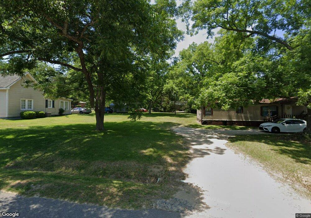
602 Bryant St Dexter, GA 31019
Estimated Value: $89,486 - $227,000
--
Bed
1
Bath
1,224
Sq Ft
$128/Sq Ft
Est. Value
About This Home
This home is located at 602 Bryant St, Dexter, GA 31019 and is currently estimated at $156,122, approximately $127 per square foot. 602 Bryant St is a home located in Laurens County with nearby schools including Southwest Laurens Elementary School, Northwest Laurens Elementary School, and East Laurens Primary School.
Ownership History
Date
Name
Owned For
Owner Type
Purchase Details
Closed on
Jan 23, 2006
Sold by
Mullis Donna
Bought by
Foskey Enterprises Llc
Current Estimated Value
Purchase Details
Closed on
Dec 27, 1998
Sold by
Thompson Pam D
Bought by
Parham Donna
Purchase Details
Closed on
Apr 30, 1995
Sold by
Thomas Joseph and Thomas Amy
Bought by
Thompson Pam D
Purchase Details
Closed on
Mar 31, 1990
Create a Home Valuation Report for This Property
The Home Valuation Report is an in-depth analysis detailing your home's value as well as a comparison with similar homes in the area
Home Values in the Area
Average Home Value in this Area
Purchase History
| Date | Buyer | Sale Price | Title Company |
|---|---|---|---|
| Foskey Enterprises Llc | $66,500 | -- | |
| Parham Donna | $39,900 | -- | |
| Thompson Pam D | $39,900 | -- | |
| -- | -- | -- |
Source: Public Records
Tax History Compared to Growth
Tax History
| Year | Tax Paid | Tax Assessment Tax Assessment Total Assessment is a certain percentage of the fair market value that is determined by local assessors to be the total taxable value of land and additions on the property. | Land | Improvement |
|---|---|---|---|---|
| 2024 | $626 | $26,405 | $3,186 | $23,219 |
| 2023 | $622 | $26,024 | $3,186 | $22,838 |
| 2022 | $548 | $25,805 | $3,186 | $22,619 |
| 2021 | $513 | $23,522 | $2,464 | $21,058 |
| 2020 | $517 | $23,672 | $2,464 | $21,208 |
| 2019 | $517 | $23,672 | $2,464 | $21,208 |
| 2018 | $515 | $23,555 | $2,464 | $21,091 |
| 2017 | $517 | $23,656 | $2,464 | $21,192 |
| 2016 | $517 | $23,650 | $2,464 | $21,186 |
| 2015 | $520 | $23,744 | $2,464 | $21,280 |
| 2014 | $514 | $22,913 | $2,423 | $20,490 |
Source: Public Records
Map
Nearby Homes
- 106 Line St
- 604 Shy St
- 312 Mullis St
- 122 Lord Hatcher Dr
- 120 Lord Hatcher Dr
- 127 Lord Hatcher Dr
- 509 Lakeview Dr
- 1017 Daniel Estates Dr
- 138 Whipporwill Way
- 00 Dublin Eastman Rd
- 0 Mark Wood Rd Unit LOT 8 10586662
- 0 Mark Wood Rd Unit LOT 10 10586658
- 0 Mark Wood Rd Unit 10553281
- 2160 Wall Rd
- 2115 Dublin Eastman Rd
- 0 Springhaven Rd Unit LOT 19 10589733
- 0 Springhaven Rd Unit LOT 18 10589731
- 0 Dublin Eastman Rd Unit 10582063
- 1251 Mark Wood Rd
- 1268 Mark Wood Rd