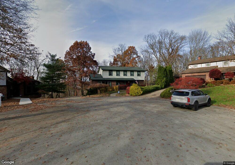
602 Burning Tree Ct McKeesport, PA 15135
Estimated Value: $316,000 - $371,000
4
Beds
4
Baths
2,335
Sq Ft
$146/Sq Ft
Est. Value
About This Home
This home is located at 602 Burning Tree Ct, McKeesport, PA 15135 and is currently estimated at $341,149, approximately $146 per square foot. 602 Burning Tree Ct is a home located in Allegheny County with nearby schools including Elizabeth Forward Senior High School and Young Scholars of Greater Allegheny Charter School.
Ownership History
Date
Name
Owned For
Owner Type
Purchase Details
Closed on
Oct 13, 2006
Sold by
Rannow Herman T
Bought by
Faircloth Ii Edward L
Current Estimated Value
Home Financials for this Owner
Home Financials are based on the most recent Mortgage that was taken out on this home.
Original Mortgage
$145,600
Outstanding Balance
$87,026
Interest Rate
6.49%
Mortgage Type
New Conventional
Estimated Equity
$254,123
Create a Home Valuation Report for This Property
The Home Valuation Report is an in-depth analysis detailing your home's value as well as a comparison with similar homes in the area
Home Values in the Area
Average Home Value in this Area
Purchase History
| Date | Buyer | Sale Price | Title Company |
|---|---|---|---|
| Faircloth Ii Edward L | $182,000 | -- |
Source: Public Records
Mortgage History
| Date | Status | Borrower | Loan Amount |
|---|---|---|---|
| Open | Faircloth Ii Edward L | $145,600 |
Source: Public Records
Tax History
| Year | Tax Paid | Tax Assessment Tax Assessment Total Assessment is a certain percentage of the fair market value that is determined by local assessors to be the total taxable value of land and additions on the property. | Land | Improvement |
|---|---|---|---|---|
| 2025 | $5,727 | $161,300 | $36,200 | $125,100 |
| 2024 | $5,727 | $161,300 | $36,200 | $125,100 |
| 2023 | $5,642 | $161,300 | $36,200 | $125,100 |
| 2022 | $5,642 | $161,300 | $36,200 | $125,100 |
| 2021 | $763 | $161,300 | $36,200 | $125,100 |
| 2020 | $5,395 | $161,300 | $36,200 | $125,100 |
| 2019 | $5,271 | $161,300 | $36,200 | $125,100 |
| 2017 | $4,720 | $161,300 | $36,200 | $125,100 |
Source: Public Records
Map
Nearby Homes
- 601 Burning Tree Ct
- 1033 Old Hills Rd
- 1237 Penhurst St
- 5812 Meade St
- 6102 Roslyn St
- 612 Chicagoan
- 2266 Constitution Blvd
- 2040 Constitution Blvd
- 811 Everglade Dr
- 6127 Smithfield St
- 1102 Clydesdale Ave
- 1117 Schweitzer Rd
- 314 Terrace Dr
- 307 Aqua Ct
- 217 Coulter Rd
- 405 Antonelli Dr
- 502 Center St
- 130 Harphen St
- 731 North Ln
- 2213 Lebanon Dr
- 603 Burning Tree Ct
- 915 Golfview Dr
- 916 Burning Tree Dr
- 913 Golfview Dr
- 921 Golfview Dr
- 914 Burning Tree Dr
- 918 Burning Tree Dr
- 911 Golfview Dr
- 604 Burning Tree Ct
- 907 Golfview Dr
- 920 Burning Tree Dr
- 104 Cascade Dr
- 912 Golfview Dr
- 903 Golfview Dr
- 922 Burning Tree Dr
- 925 Golfview Dr
- 925 Goldview
- 910 Golfview Dr
- 919 Burning Tree Dr
- 108 Cascade Dr
Your Personal Tour Guide
Ask me questions while you tour the home.