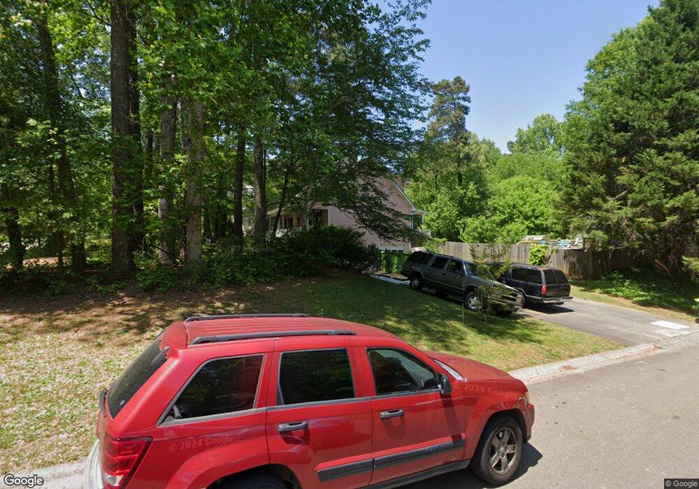
602 Colony Ct Woodstock, GA 30188
Estimated Value: $376,298 - $381,000
4
Beds
2
Baths
1,752
Sq Ft
$216/Sq Ft
Est. Value
About This Home
This home is located at 602 Colony Ct, Woodstock, GA 30188 and is currently estimated at $378,649, approximately $216 per square foot. 602 Colony Ct is a home located in Cherokee County with nearby schools including Johnston Elementary School, Mill Creek Middle School, and River Ridge High School.
Ownership History
Date
Name
Owned For
Owner Type
Purchase Details
Closed on
Dec 13, 2024
Sold by
Heath Jamie R
Bought by
J Heath Living Trust and Heath Jamison R Tr
Current Estimated Value
Purchase Details
Closed on
Jan 18, 2007
Sold by
Heath Mary E
Bought by
Heath Jamie R
Home Financials for this Owner
Home Financials are based on the most recent Mortgage that was taken out on this home.
Original Mortgage
$104,000
Interest Rate
5.85%
Mortgage Type
New Conventional
Purchase Details
Closed on
Feb 24, 1998
Sold by
Mcmahan Charles D and Mcmahan Peggy E
Bought by
Heath Jamie R and Heath Mary E
Home Financials for this Owner
Home Financials are based on the most recent Mortgage that was taken out on this home.
Original Mortgage
$115,600
Interest Rate
6.86%
Mortgage Type
FHA
Create a Home Valuation Report for This Property
The Home Valuation Report is an in-depth analysis detailing your home's value as well as a comparison with similar homes in the area
Home Values in the Area
Average Home Value in this Area
Purchase History
| Date | Buyer | Sale Price | Title Company |
|---|---|---|---|
| J Heath Living Trust | -- | -- | |
| Heath Jamie R | -- | -- | |
| Heath Jamie R | $118,600 | -- |
Source: Public Records
Mortgage History
| Date | Status | Borrower | Loan Amount |
|---|---|---|---|
| Previous Owner | Heath Jamie R | $104,000 | |
| Previous Owner | Heath Jamie R | $115,600 |
Source: Public Records
Tax History Compared to Growth
Tax History
| Year | Tax Paid | Tax Assessment Tax Assessment Total Assessment is a certain percentage of the fair market value that is determined by local assessors to be the total taxable value of land and additions on the property. | Land | Improvement |
|---|---|---|---|---|
| 2025 | $606 | $116,420 | $28,000 | $88,420 |
| 2024 | $2,644 | $117,460 | $28,000 | $89,460 |
| 2023 | $243 | $109,460 | $28,000 | $81,460 |
| 2022 | $2,546 | $107,340 | $22,000 | $85,340 |
| 2021 | $1,988 | $88,460 | $18,000 | $70,460 |
| 2020 | $2,264 | $78,100 | $14,000 | $64,100 |
| 2019 | $1,635 | $70,760 | $14,000 | $56,760 |
| 2018 | $1,633 | $70,280 | $14,000 | $56,280 |
| 2017 | $1,563 | $165,500 | $14,000 | $52,200 |
| 2016 | $1,458 | $151,100 | $11,600 | $48,840 |
| 2015 | $1,397 | $141,900 | $11,600 | $45,160 |
| 2014 | $1,151 | $117,100 | $10,000 | $36,840 |
Source: Public Records
Map
Nearby Homes
- 268 Arnold Mill Rd
- 1388 Chatley Way
- 312 Thistle Ct
- 1911 Grand Oaks Way
- 1111 Washington Ave
- 137 Creekview Dr
- 1361 Chatley Way
- 405 Nettle Ct
- The Mew Townhome Plan at Ruisseau - Single Family
- 419 Creekside Ln
- 505 Radford Ct
- 118 Remington Ct
- 776 Woodstock Grove Dr
- 120 Via Roma
- 512 Neese Rd
- 403 Village View
- 114 Parks Cir
- 338 Cherryhill Ln
- 532 Walton Dr
- 204 Melanie Ln
- 604 Colony Ct
- 336 Independence Way
- 327 Independence Way
- 606 Colony Ct
- 329 Independence Way
- 0 Colony Ct Unit 8803705
- 0 Colony Ct Unit 8620877
- 0 Colony Ct Unit 8518249
- 325 Independence Way
- 607 Colony Ct
- 334 Independence Way
- 608 Colony Ct
- 603 Colony Ct
- 609 Colony Ct
- 323 Independence Way
- 611 Colony Ct
- 610 Colony Ct
- 613 Colony Ct
- 605 Colony Ct Unit A
- 605 Colony Ct