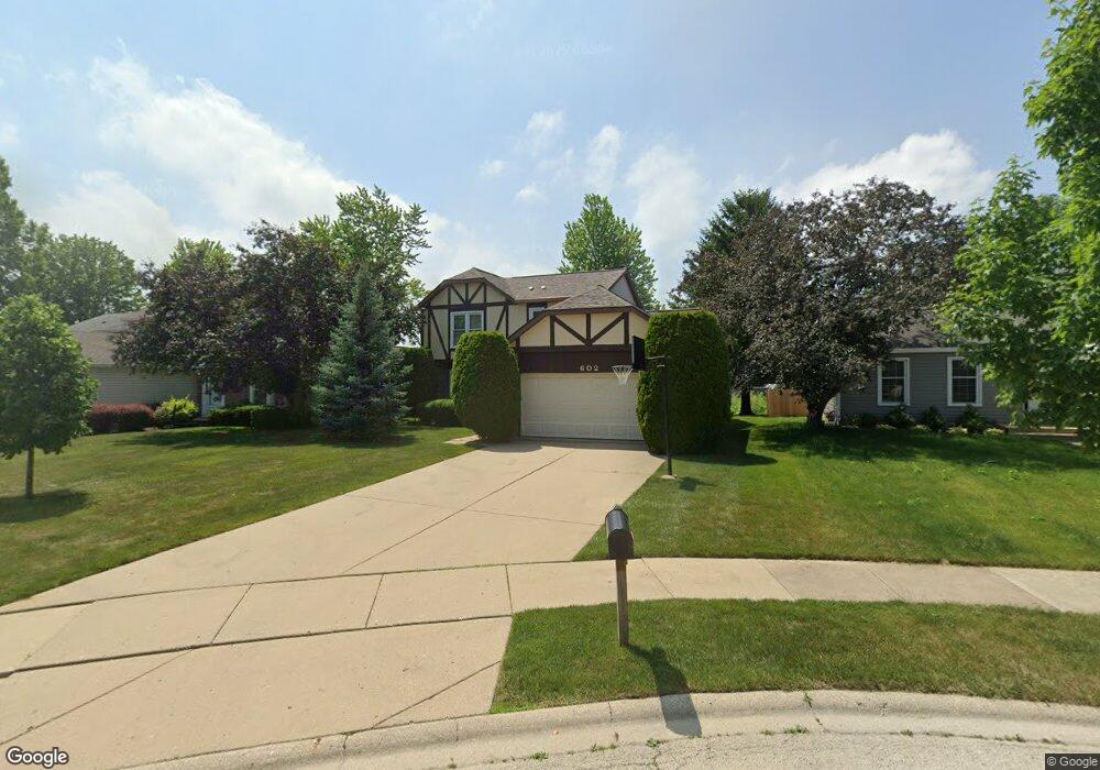
602 Crown Point Dr Buffalo Grove, IL 60089
Estimated Value: $495,678 - $551,000
--
Bed
3
Baths
1,788
Sq Ft
$289/Sq Ft
Est. Value
About This Home
This home is located at 602 Crown Point Dr, Buffalo Grove, IL 60089 and is currently estimated at $516,670, approximately $288 per square foot. 602 Crown Point Dr is a home located in Lake County with nearby schools including Ivy Hall Elementary School, Twin Groves Middle School, and Adlai E Stevenson High School.
Ownership History
Date
Name
Owned For
Owner Type
Purchase Details
Closed on
Jun 20, 1997
Sold by
Madigan Patrick T and Madigan Mary Anne
Bought by
Barkon Igor and Barkon Inna
Current Estimated Value
Home Financials for this Owner
Home Financials are based on the most recent Mortgage that was taken out on this home.
Original Mortgage
$164,000
Outstanding Balance
$20,037
Interest Rate
6.25%
Estimated Equity
$496,633
Create a Home Valuation Report for This Property
The Home Valuation Report is an in-depth analysis detailing your home's value as well as a comparison with similar homes in the area
Home Values in the Area
Average Home Value in this Area
Purchase History
| Date | Buyer | Sale Price | Title Company |
|---|---|---|---|
| Barkon Igor | $205,000 | Ticor Title Insurance Compan |
Source: Public Records
Mortgage History
| Date | Status | Borrower | Loan Amount |
|---|---|---|---|
| Open | Barkon Igor | $164,000 |
Source: Public Records
Tax History Compared to Growth
Tax History
| Year | Tax Paid | Tax Assessment Tax Assessment Total Assessment is a certain percentage of the fair market value that is determined by local assessors to be the total taxable value of land and additions on the property. | Land | Improvement |
|---|---|---|---|---|
| 2024 | $11,912 | $140,031 | $39,453 | $100,578 |
| 2023 | $11,107 | $132,130 | $37,227 | $94,903 |
| 2022 | $11,107 | $117,514 | $33,109 | $84,405 |
| 2021 | $10,679 | $116,247 | $32,752 | $83,495 |
| 2020 | $10,430 | $116,644 | $32,864 | $83,780 |
| 2019 | $10,292 | $116,214 | $32,743 | $83,471 |
| 2018 | $9,362 | $109,912 | $32,359 | $77,553 |
| 2017 | $9,178 | $107,347 | $31,604 | $75,743 |
| 2016 | $8,913 | $102,793 | $30,263 | $72,530 |
| 2015 | $8,635 | $96,131 | $28,302 | $67,829 |
| 2014 | $7,725 | $86,046 | $30,397 | $55,649 |
| 2012 | $7,603 | $86,219 | $30,458 | $55,761 |
Source: Public Records
Map
Nearby Homes
- 711 Woodhollow Ln
- 412 Chateau Dr
- 603 Cherbourg Ct N
- 720 Dunhill Dr
- 871 Shady Grove Ln
- 938 Hidden Lake Dr
- 746 Old Checker Rd Unit E5
- 931 Shady Grove Ln
- 872 Old Checker Rd Unit E3
- 1113 Lockwood Dr
- 800 Clohesey Dr
- 51 W Fabish Dr
- 12 Aberdeen Ct
- 1118 Larraway Dr
- 1141 Devonshire Rd
- 1012 Hobson Dr
- 126 Woodstone Dr Unit 14
- 128 Woodstone Dr
- 1286 Gail Dr
- 1112 Auburn Ln
- 552 Crown Point Ct
- 604 Crown Point Dr Unit 2
- 550 Crown Point Ct
- 606 Crown Point Dr Unit 2
- 548 Crown Point Ct
- 529 Crown Point Dr
- 522 Crown Point Dr
- 526 Crown Point Ct
- 546 Crown Point Ct
- 527 Crown Point Dr
- 625 Harris Dr
- 544 Crown Point Ct
- 528 Crown Point Ct Unit 2
- 520 Crown Point Dr
- 525 Crown Point Dr
- 610 Farrington Dr Unit 5
- 623 Harris Dr
- 530 Crown Point Ct
- 542 Crown Point Ct
- 518 Crown Point Dr