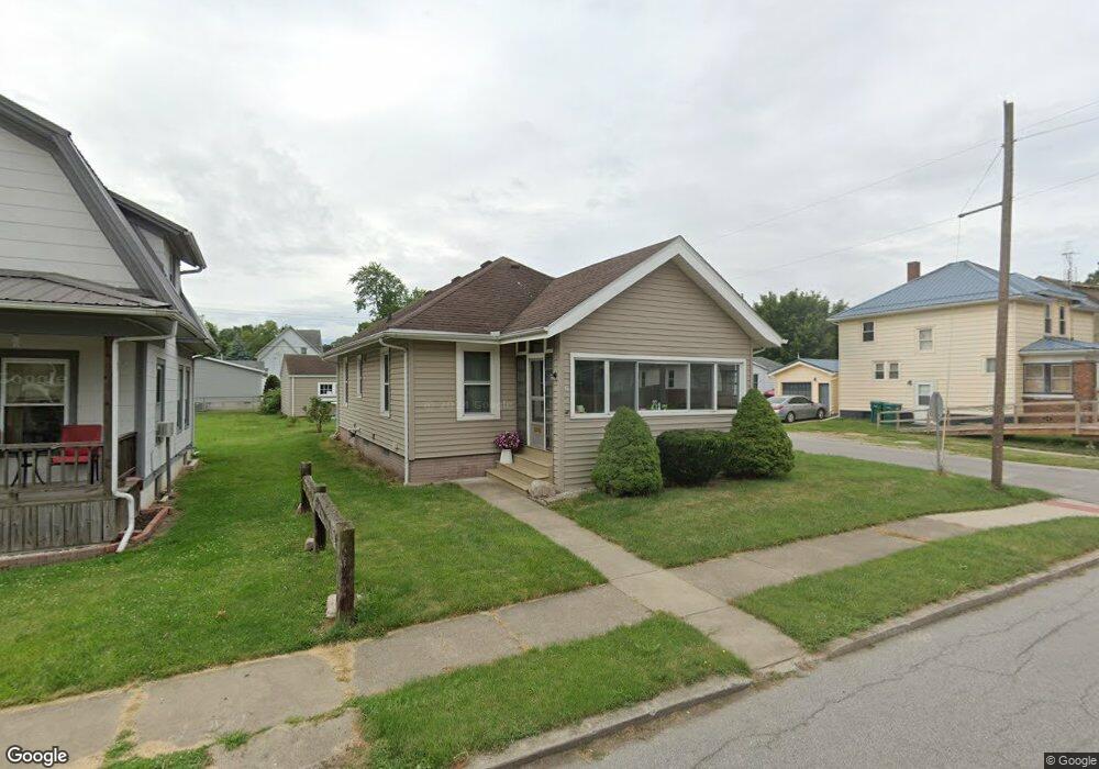
602 E Maple Ave La Porte, IN 46350
Estimated Value: $158,000 - $160,404
2
Beds
1
Bath
999
Sq Ft
$159/Sq Ft
Est. Value
About This Home
This home is located at 602 E Maple Ave, La Porte, IN 46350 and is currently estimated at $159,101, approximately $159 per square foot. 602 E Maple Ave is a home located in LaPorte County with nearby schools including Hailmann Elementary School, La Porte High School, and Kesling Intermediate School.
Ownership History
Date
Name
Owned For
Owner Type
Purchase Details
Closed on
Aug 9, 2022
Sold by
Stahl James D
Bought by
Brens Katterine C Silfa
Current Estimated Value
Home Financials for this Owner
Home Financials are based on the most recent Mortgage that was taken out on this home.
Original Mortgage
$138,685
Outstanding Balance
$131,867
Interest Rate
5.51%
Mortgage Type
FHA
Estimated Equity
$27,234
Purchase Details
Closed on
Oct 9, 2012
Sold by
Dale Helen E Rice
Bought by
Stahl James D and Stahl Cheri A
Create a Home Valuation Report for This Property
The Home Valuation Report is an in-depth analysis detailing your home's value as well as a comparison with similar homes in the area
Home Values in the Area
Average Home Value in this Area
Purchase History
| Date | Buyer | Sale Price | Title Company |
|---|---|---|---|
| Brens Katterine C Silfa | -- | Drake Andrew R | |
| Stahl James D | -- | Meridian Title Corp |
Source: Public Records
Mortgage History
| Date | Status | Borrower | Loan Amount |
|---|---|---|---|
| Open | Brens Katterine C Silfa | $138,685 |
Source: Public Records
Tax History
| Year | Tax Paid | Tax Assessment Tax Assessment Total Assessment is a certain percentage of the fair market value that is determined by local assessors to be the total taxable value of land and additions on the property. | Land | Improvement |
|---|---|---|---|---|
| 2025 | $1,205 | $119,200 | $13,000 | $106,200 |
| 2024 | $1,018 | $112,600 | $13,000 | $99,600 |
| 2023 | $939 | $93,900 | $10,800 | $83,100 |
| 2022 | $923 | $54,500 | $7,000 | $47,500 |
| 2021 | $1,096 | $54,800 | $7,500 | $47,300 |
| 2020 | $1,096 | $54,800 | $7,500 | $47,300 |
| 2019 | $770 | $36,100 | $5,100 | $31,000 |
| 2018 | $644 | $29,800 | $3,700 | $26,100 |
| 2017 | $648 | $30,000 | $3,800 | $26,200 |
| 2016 | $1,420 | $68,600 | $7,400 | $61,200 |
| 2014 | $1,290 | $64,500 | $7,400 | $57,100 |
Source: Public Records
Map
Nearby Homes
- 610 E Maple Ave
- 609 Niles St
- 703 Niles St
- 511 E Jefferson Ave
- 806 Lawrence St
- 414 Allen St
- 330 Virginia Ave
- 101 Bond St
- 317 E Lincolnway
- 602 Plain St
- 916 Ohio St
- 403 Rose St
- 0 E Jefferson Ave
- 503 Grove St
- 202 Jefferson Ave
- 204 Jefferson Ave
- 107 Lincolnway
- 717 E Lincolnway
- 809 Rose St
- 413 Jefferson Ave
Your Personal Tour Guide
Ask me questions while you tour the home.