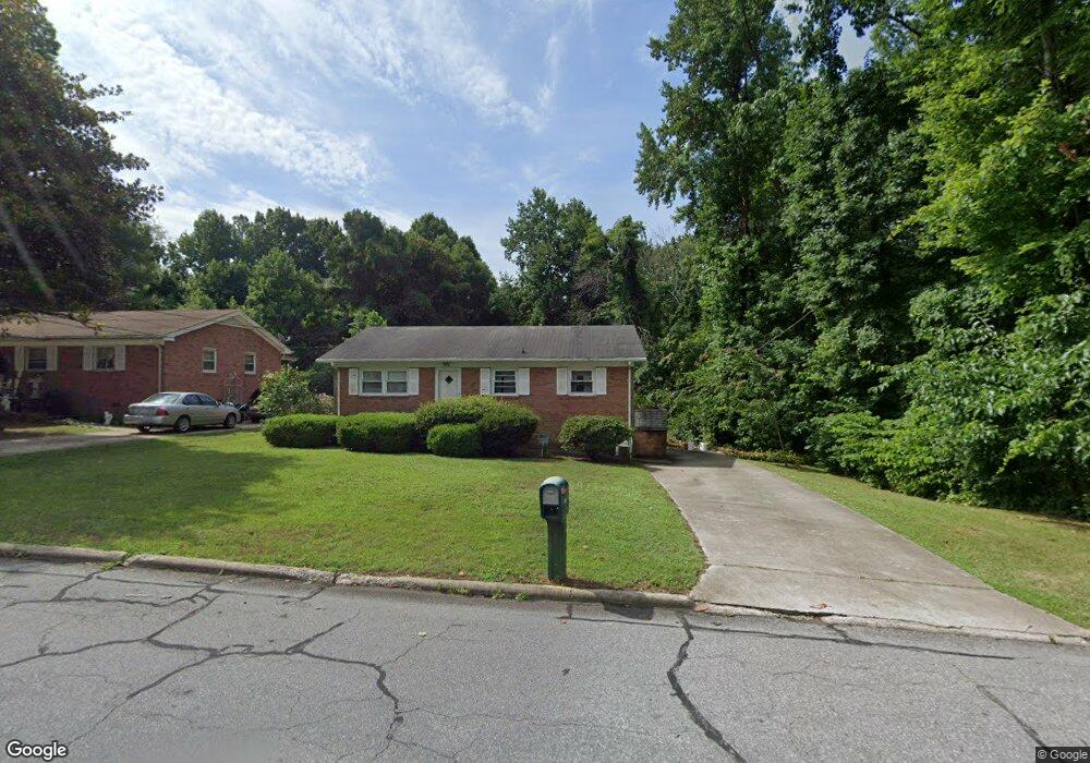
602 E Morehead St Reidsville, NC 27320
Estimated Value: $127,000 - $153,000
--
Bed
--
Bath
1,073
Sq Ft
$129/Sq Ft
Est. Value
About This Home
This home is located at 602 E Morehead St, Reidsville, NC 27320 and is currently estimated at $138,669, approximately $129 per square foot. 602 E Morehead St is a home located in Rockingham County with nearby schools including Reidsville High School, Moss Street Elementary, and Reidsville Middle School.
Ownership History
Date
Name
Owned For
Owner Type
Purchase Details
Closed on
May 13, 2025
Sold by
Broadnax Reginald V and Dail Arlisa Broadnax
Bought by
Broadnax Townes Frederica
Current Estimated Value
Purchase Details
Closed on
Aug 31, 2018
Sold by
Broadnax Arlisa
Bought by
Townes Frederica B and Broadnax Gordon D
Purchase Details
Closed on
Aug 27, 2018
Sold by
Broadnax Rosa M
Bought by
Townes Frederica B and Broadnax Gordon
Purchase Details
Closed on
Aug 26, 2018
Sold by
Broadnax Reginald V
Bought by
Townes Frederica B and Broadnax Gordon D
Create a Home Valuation Report for This Property
The Home Valuation Report is an in-depth analysis detailing your home's value as well as a comparison with similar homes in the area
Home Values in the Area
Average Home Value in this Area
Purchase History
| Date | Buyer | Sale Price | Title Company |
|---|---|---|---|
| Broadnax Townes Frederica | -- | None Listed On Document | |
| Townes Frederica Broadnax | -- | None Listed On Document | |
| Townes Frederica B | $4,000 | None Available | |
| Townes Frederica B | $10,000 | None Available | |
| Townes Frederica B | $4,000 | None Available |
Source: Public Records
Tax History Compared to Growth
Tax History
| Year | Tax Paid | Tax Assessment Tax Assessment Total Assessment is a certain percentage of the fair market value that is determined by local assessors to be the total taxable value of land and additions on the property. | Land | Improvement |
|---|---|---|---|---|
| 2025 | $1,436 | $115,799 | $6,821 | $108,978 |
| 2024 | $718 | $115,799 | $6,821 | $108,978 |
| 2023 | $987 | $68,809 | $6,201 | $62,608 |
| 2022 | $987 | $68,809 | $6,201 | $62,608 |
| 2021 | $987 | $68,809 | $6,201 | $62,608 |
| 2020 | $987 | $68,809 | $6,201 | $62,608 |
| 2019 | $987 | $68,809 | $6,201 | $62,608 |
| 2018 | $962 | $66,966 | $10,364 | $56,602 |
| 2017 | $962 | $66,966 | $10,364 | $56,602 |
| 2015 | $971 | $66,966 | $10,364 | $56,602 |
| 2014 | $962 | $66,966 | $10,364 | $56,602 |
Source: Public Records
Map
Nearby Homes
- 00 Robinson Cir
- 315 Hubbard St
- 403 Pennsylvania Ave
- 101 S Branch St
- 312 Church St
- 335 S Branch St
- 802 Lawsonville Ave
- 115 N Harris St
- 511 Barnes St
- 515 Barnes St
- 137 Ridge St
- 117 Ridge St
- 00 E Morehead St
- 304 Roanoke St
- 607 Lancaster Dr
- 502 Thomas St
- 612 Thomas St
- 971 Willow St
- 105 Edna St
- 122 N Main St
- 604 E Morehead St
- 606 E Morehead St
- 601 E Morehead St
- 608 E Morehead St
- 603 E Morehead St
- 545 E Morehead St
- 542 E Morehead St
- 610 E Morehead St
- 605 E Morehead St
- 406 Hubbard St
- 608 Winstead St
- 543 E Morehead St
- 611 Winstead St
- 607 E Morehead St
- 404 Hubbard St
- 612 E Morehead St
- 541 E Morehead St
- 609 E Morehead St
- 610 Winstead St
- 537 E Morehead St