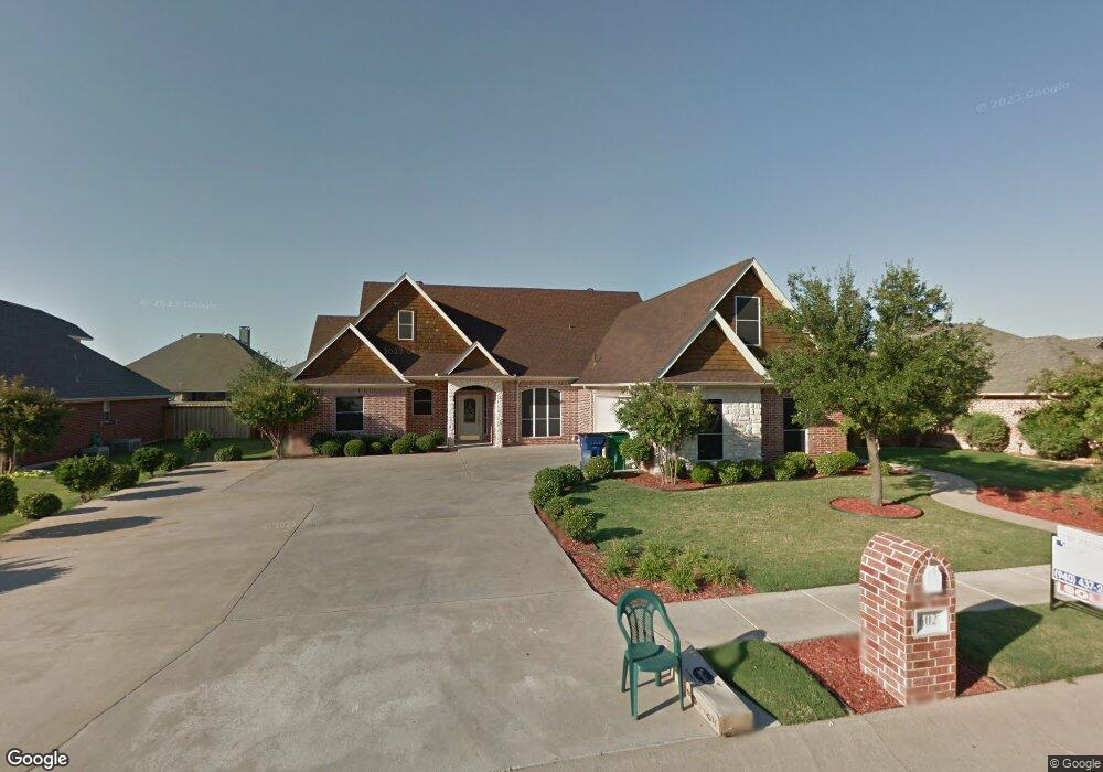
602 Elm St Pilot Point, TX 76258
Pilot Point AreaEstimated Value: $395,000 - $472,000
About This Home
This home is located at 602 Elm St, Pilot Point, TX 76258 and is currently estimated at $435,163, approximately $170 per square foot. 602 Elm St is a home located in Denton County with nearby schools including Pilot Point Early Childhood Center, Pilot Point Elementary School, and Pilot Point Middle School.
Ownership History
We collect this data history from publicly available records. To have your information removed, we recommend requesting removal directly through your county’s website.
Purchase Details
Purchase Details
Home Financials for this Owner
Home Financials are based on the most recent Mortgage that was taken out on this home.Home Values in the Area
Average Home Value in this Area
Purchase History
We collect this data history from publicly available records. To have your information removed, we recommend requesting removal directly through your county’s website.
| Date | Buyer | Sale Price | Title Company |
|---|---|---|---|
| -- | Reunion Title | ||
| -- | -- |
Mortgage History
We collect this data history from publicly available records. To have your information removed, we recommend requesting removal directly through your county’s website.
| Date | Status | Borrower | Loan Amount |
|---|---|---|---|
| Previous Owner | $190,535 | ||
| Previous Owner | $37,227 | ||
| Previous Owner | $144,800 |
Tax History
We collect this data history from publicly available records. To have your information removed, we recommend requesting removal directly through your county’s website.
| Year | Tax Paid | Tax Assessment Tax Assessment Total Assessment is a certain percentage of the fair market value that is determined by local assessors to be the total taxable value of land and additions on the property. | Land | Improvement |
|---|---|---|---|---|
| 2025 | $2,795 | $447,056 | $91,800 | $355,256 |
| 2024 | $8,439 | $468,782 | $0 | $0 |
| 2023 | $2,802 | $426,165 | $91,800 | $411,822 |
| 2022 | $7,966 | $387,423 | $81,000 | $341,651 |
| 2021 | $7,267 | $352,203 | $58,860 | $293,343 |
| 2020 | $7,050 | $339,319 | $58,860 | $280,459 |
| 2019 | $7,747 | $361,636 | $58,860 | $328,552 |
| 2018 | $7,132 | $328,760 | $58,860 | $287,567 |
| 2017 | $6,502 | $298,873 | $46,980 | $268,198 |
| 2016 | $5,911 | $271,703 | $37,800 | $233,903 |
| 2015 | $4,774 | $255,610 | $37,800 | $217,810 |
| 2014 | $4,774 | $247,976 | $37,800 | $210,176 |
| 2013 | -- | $225,900 | $37,800 | $188,100 |
Map
- 603 Ash St
- 1403 Hickory Dr
- 603 Cedar Dr
- 605 Maple Dr
- 604 Cedar Dr
- 1701 N Saint Charles Ave
- 600 Aspen St
- 792 E Northside Dr
- 816 E Northside Dr
- 824 E Northside Dr
- 0000 N Washington St
- 822 Amelia Ct
- 1024 -A Us 377
- 812 Primrose Ln
- 744 Lantana Ln
- 750 Lantana Ln
- 930 N Highway 377
- 756 Lantana Ln
- 705 Sweet Pea Dr
- 764 Lantana Ln
Ask me questions while you tour the home.