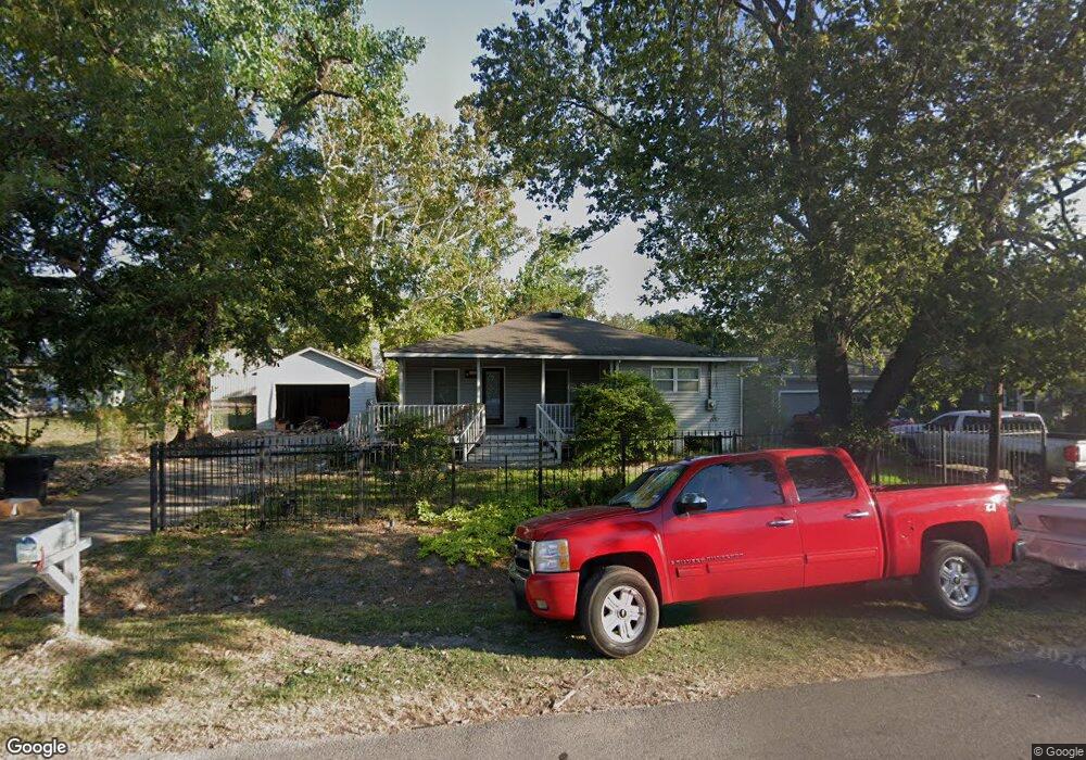
602 Memory Ln Houston, TX 77037
Estimated Value: $182,000 - $317,000
4
Beds
1
Bath
2,458
Sq Ft
$105/Sq Ft
Est. Value
About This Home
This home is located at 602 Memory Ln, Houston, TX 77037 and is currently estimated at $257,750, approximately $104 per square foot. 602 Memory Ln is a home located in Harris County with nearby schools including Jerry Keeble Ec/Pre-K, Goodman Elementary School, and Aldine Ninth Grade School.
Ownership History
Date
Name
Owned For
Owner Type
Purchase Details
Closed on
Jan 12, 2005
Sold by
Wesbrook Wanda R
Bought by
Braden Allen J and Braden Susan M
Current Estimated Value
Home Financials for this Owner
Home Financials are based on the most recent Mortgage that was taken out on this home.
Original Mortgage
$48,000
Outstanding Balance
$24,315
Interest Rate
5.8%
Mortgage Type
Purchase Money Mortgage
Estimated Equity
$233,435
Purchase Details
Closed on
Sep 5, 2002
Sold by
Rigsdell Frank H and Vuong Lisa R
Bought by
Wesbrook Wanda R
Create a Home Valuation Report for This Property
The Home Valuation Report is an in-depth analysis detailing your home's value as well as a comparison with similar homes in the area
Home Values in the Area
Average Home Value in this Area
Purchase History
| Date | Buyer | Sale Price | Title Company |
|---|---|---|---|
| Braden Allen J | -- | Chicago Title | |
| Wesbrook Wanda R | -- | -- | |
| Wesbrook Wanda R | -- | -- |
Source: Public Records
Mortgage History
| Date | Status | Borrower | Loan Amount |
|---|---|---|---|
| Open | Braden Allen J | $48,000 | |
| Closed | Braden Allen J | $9,000 |
Source: Public Records
Tax History
| Year | Tax Paid | Tax Assessment Tax Assessment Total Assessment is a certain percentage of the fair market value that is determined by local assessors to be the total taxable value of land and additions on the property. | Land | Improvement |
|---|---|---|---|---|
| 2025 | $6,522 | $267,189 | $117,109 | $150,080 |
| 2024 | $6,522 | $287,388 | $124,605 | $162,783 |
| 2023 | $6,522 | $309,000 | $66,456 | $242,544 |
| 2022 | $3,900 | $162,605 | $66,456 | $96,149 |
| 2021 | $2,976 | $118,478 | $49,842 | $68,636 |
| 2020 | $3,127 | $118,478 | $49,842 | $68,636 |
| 2019 | $2,968 | $107,248 | $16,614 | $90,634 |
| 2018 | $1,540 | $107,248 | $16,614 | $90,634 |
| 2017 | $2,845 | $107,248 | $16,614 | $90,634 |
| 2016 | $2,845 | $107,248 | $16,614 | $90,634 |
| 2015 | $1,475 | $107,248 | $16,614 | $90,634 |
| 2014 | $1,475 | $107,248 | $16,614 | $90,634 |
Source: Public Records
Map
Nearby Homes
- 521 Blue Bell Rd
- 9621 Sweetwater Ln
- 807 Turney Dr
- 113 Busch St Unit 5
- 558 Beaver Bend Rd
- 907 Twin Falls Rd
- 634 Twinbrooke Dr
- 132 Hambrick Rd
- 230 Busch St
- 151 West Rd
- 619 Rocky Mountain Dr
- 1102 Mosher Ln
- 619 Rainy River Dr
- 312 Hambrick Rd
- 1011 Twinbrooke Dr
- 1023 Twinbrooke Dr
- 9231 Rockcliff Dr
- 321 E Lorino St
- 255 Mcfarland Rd
- 502 Hawkins Ave