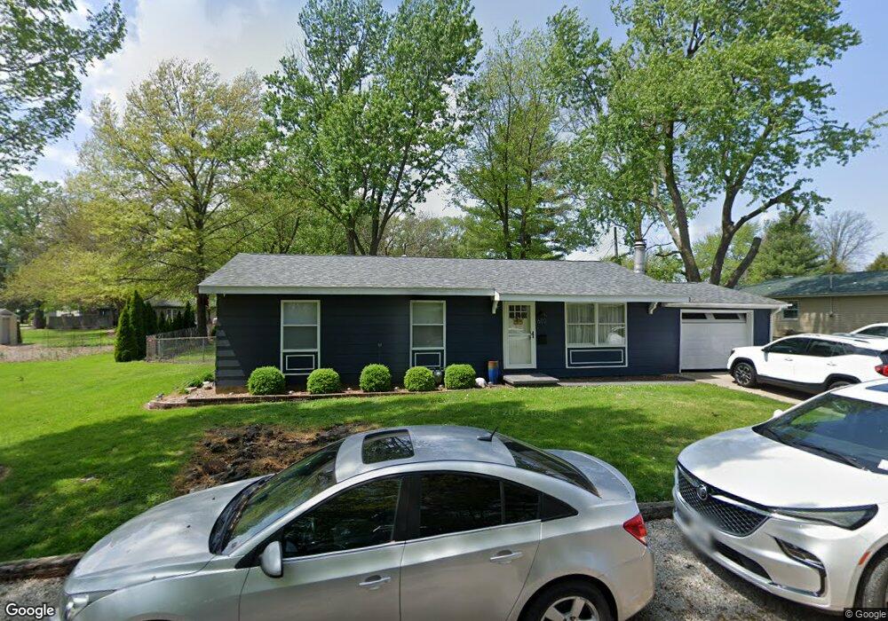
602 N 10th St Unit 1 Auburn, IL 62615
Estimated Value: $62,000 - $122,000
3
Beds
1
Bath
1,023
Sq Ft
$99/Sq Ft
Est. Value
About This Home
This home is located at 602 N 10th St Unit 1, Auburn, IL 62615 and is currently estimated at $101,069, approximately $98 per square foot. 602 N 10th St Unit 1 is a home located in Sangamon County with nearby schools including Auburn Elementary School, Auburn Middle School, and Auburn Junior High School.
Ownership History
Date
Name
Owned For
Owner Type
Purchase Details
Closed on
Jun 20, 2013
Current Estimated Value
Purchase Details
Closed on
Jun 30, 2011
Purchase Details
Closed on
Apr 11, 2011
Purchase Details
Closed on
May 11, 2010
Purchase Details
Closed on
Feb 4, 2009
Purchase Details
Closed on
Sep 10, 2007
Purchase Details
Closed on
Jun 14, 2002
Create a Home Valuation Report for This Property
The Home Valuation Report is an in-depth analysis detailing your home's value as well as a comparison with similar homes in the area
Home Values in the Area
Average Home Value in this Area
Purchase History
| Date | Buyer | Sale Price | Title Company |
|---|---|---|---|
| -- | $40,000 | -- | |
| -- | -- | -- | |
| -- | $40,000 | -- | |
| -- | $92,000 | -- | |
| -- | -- | -- | |
| -- | -- | -- | |
| -- | $70,000 | -- |
Source: Public Records
Tax History Compared to Growth
Tax History
| Year | Tax Paid | Tax Assessment Tax Assessment Total Assessment is a certain percentage of the fair market value that is determined by local assessors to be the total taxable value of land and additions on the property. | Land | Improvement |
|---|---|---|---|---|
| 2024 | $795 | $19,707 | $3,870 | $15,837 |
| 2023 | $738 | $18,022 | $3,539 | $14,483 |
| 2022 | $672 | $17,063 | $3,351 | $13,712 |
| 2021 | $641 | $16,386 | $3,218 | $13,168 |
| 2020 | $639 | $16,329 | $3,207 | $13,122 |
| 2019 | $617 | $15,925 | $3,128 | $12,797 |
| 2018 | $598 | $15,596 | $3,063 | $12,533 |
| 2017 | $586 | $15,017 | $2,949 | $12,068 |
| 2016 | $561 | $14,923 | $2,931 | $11,992 |
| 2015 | $565 | $14,749 | $2,897 | $11,852 |
| 2014 | $570 | $14,978 | $2,942 | $12,036 |
| 2013 | $508 | $14,485 | $2,845 | $11,640 |
Source: Public Records
Map
Nearby Homes
- 446 N 7th St Unit 1
- 1224 Commanche Rd Unit 1
- 206 S 8th St Unit 1
- 0 Illinois 104
- 158 E Monroe St
- 109 N Violet Dr Unit 1
- 3926 Circle Dr Unit 1
- 207 W Elm St
- 10553 S Main St Unit 1
- 6716 Tower Heights Rd
- 108 Kodiak Dr
- 11520 Wayside Meadows Rd
- 233 W South St Unit 1
- 0 Withers Rd
- 34 Buckingham Rd Unit 1
- 0 State Route 4
- 530 S Grand Ave
- 1 Henrietta
- 26 Circle
- 448 Wintergreen Dr
- 1002 Lincoln St Unit 1
- 1002 W North St
- 601 N 10th St Unit 1
- 1004 Lincoln St Unit 1
- 609 N 11th St Unit 1
- 916 W North St Unit 1
- 1006 W North St
- 1001 Lincoln St Unit 1
- 605 N 11th St Unit 1
- 907 Lincoln St Unit 1
- 900 Lincoln St Unit 24
- 900 Lincoln St Unit 9
- 900 Lincoln St Unit 15
- 900 Lincoln St Unit 30
- 900 Lincoln St
- 524 N 10th St Unit 1
- 1350 Illinois 4
- 1005 W North St
- 906 W North St Unit 1
- 13900 N State Route 4