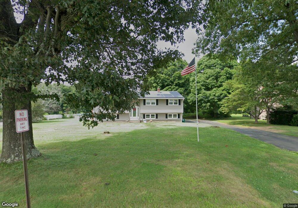
602 New England Rd Guilford, CT 06437
Estimated Value: $497,000 - $524,000
3
Beds
2
Baths
1,288
Sq Ft
$395/Sq Ft
Est. Value
About This Home
This home is located at 602 New England Rd, Guilford, CT 06437 and is currently estimated at $509,362, approximately $395 per square foot. 602 New England Rd is a home located in New Haven County with nearby schools including A. Baldwin Middle School, E.C. Adams Middle School, and Guilford High School.
Ownership History
Date
Name
Owned For
Owner Type
Purchase Details
Closed on
Jun 30, 1997
Sold by
Hudak Elizabeth A
Bought by
Considine James F and Gradley Maureen E
Current Estimated Value
Home Financials for this Owner
Home Financials are based on the most recent Mortgage that was taken out on this home.
Original Mortgage
$138,037
Interest Rate
7.81%
Mortgage Type
Unknown
Create a Home Valuation Report for This Property
The Home Valuation Report is an in-depth analysis detailing your home's value as well as a comparison with similar homes in the area
Home Values in the Area
Average Home Value in this Area
Purchase History
| Date | Buyer | Sale Price | Title Company |
|---|---|---|---|
| Considine James F | $145,000 | -- |
Source: Public Records
Mortgage History
| Date | Status | Borrower | Loan Amount |
|---|---|---|---|
| Open | Considine James F | $178,000 | |
| Closed | Considine James F | $170,000 | |
| Closed | Considine James F | $138,500 | |
| Closed | Considine James F | $138,037 |
Source: Public Records
Tax History Compared to Growth
Tax History
| Year | Tax Paid | Tax Assessment Tax Assessment Total Assessment is a certain percentage of the fair market value that is determined by local assessors to be the total taxable value of land and additions on the property. | Land | Improvement |
|---|---|---|---|---|
| 2025 | $6,844 | $247,520 | $156,170 | $91,350 |
| 2024 | $6,579 | $247,520 | $156,170 | $91,350 |
| 2023 | $6,406 | $247,520 | $156,170 | $91,350 |
| 2022 | $5,600 | $168,430 | $120,180 | $48,250 |
| 2021 | $5,494 | $168,430 | $120,180 | $48,250 |
| 2020 | $5,442 | $168,430 | $120,180 | $48,250 |
| 2019 | $5,395 | $168,430 | $120,180 | $48,250 |
| 2018 | $5,268 | $168,430 | $120,180 | $48,250 |
| 2017 | $5,206 | $177,320 | $128,330 | $48,990 |
| 2016 | $5,084 | $177,320 | $128,330 | $48,990 |
| 2015 | $5,008 | $177,320 | $128,330 | $48,990 |
| 2014 | $4,862 | $177,320 | $128,330 | $48,990 |
Source: Public Records
Map
Nearby Homes
- 1066 Long Hill Rd
- 37 Long Hill Farm
- 15 Briarwood Dr
- 54 Coachlamp Ln
- 173 Highwoods Dr
- 77 Pinebrook Cir
- 42 Copper Hill Dr
- 102 N Mill Cir
- 24 Copper Hill Dr
- 20 Copper Hill Dr Unit 20
- 18 Copper Hill Dr
- 1270 Durham Rd
- 126 Stepstone Hill Rd
- 241 Jefferson Dr
- 9 Lantern Hill Ln
- 360 Jefferson Dr
- 288 Jefferson Dr
- 2805 Boston Post Rd
- 249 Wilderwood Dr
- LOT #22 Kenneth Cir Unit MAP 77
- 590 New England Rd
- 616 New England Rd
- 44 Woodside Rd
- 32 Woodside Rd
- 60 Woodside Rd
- 630 New England Rd
- 570 New England Rd
- 20 Woodside Rd
- 70 Woodside Rd
- 640 New England Rd
- 36 Orchard View Rd
- 45 Woodside Rd
- 61 Woodside Rd
- 75 Woodside Rd
- 21 Woodside Rd
- 664 New England Rd
- 71 Woodside Rd
- 23 Orchard View Rd
- 62 Orchard View Rd
- 37 Orchard View Rd