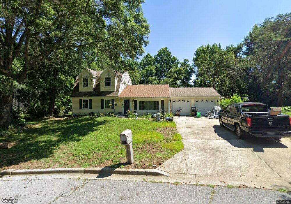
602 Pearse Ln Upper Marlboro, MD 20774
Estimated Value: $416,000 - $508,000
--
Bed
2
Baths
1,365
Sq Ft
$326/Sq Ft
Est. Value
About This Home
This home is located at 602 Pearse Ln, Upper Marlboro, MD 20774 and is currently estimated at $444,852, approximately $325 per square foot. 602 Pearse Ln is a home located in Prince George's County with nearby schools including Kettering Elementary School, Kettering Middle School, and Largo High School.
Ownership History
Date
Name
Owned For
Owner Type
Purchase Details
Closed on
Apr 24, 1997
Sold by
Bankers Trust Company Of Ca N
Bought by
Murray Anne C
Current Estimated Value
Purchase Details
Closed on
Jun 10, 1996
Sold by
Sanders Richard J and Sanders Charlene
Bought by
Bankers Trust Company Of Ca N and First Nation Wide Mortgage
Purchase Details
Closed on
Dec 16, 1991
Sold by
Secretary Of
Bought by
Sanders Richard J and Sanders Charlene
Create a Home Valuation Report for This Property
The Home Valuation Report is an in-depth analysis detailing your home's value as well as a comparison with similar homes in the area
Home Values in the Area
Average Home Value in this Area
Purchase History
| Date | Buyer | Sale Price | Title Company |
|---|---|---|---|
| Murray Anne C | $122,000 | -- | |
| Bankers Trust Company Of Ca N | $96,530 | -- | |
| Sanders Richard J | $135,900 | -- |
Source: Public Records
Tax History Compared to Growth
Tax History
| Year | Tax Paid | Tax Assessment Tax Assessment Total Assessment is a certain percentage of the fair market value that is determined by local assessors to be the total taxable value of land and additions on the property. | Land | Improvement |
|---|---|---|---|---|
| 2025 | $4,047 | $309,967 | -- | -- |
| 2024 | $4,047 | $295,233 | $0 | $0 |
| 2023 | $3,910 | $280,500 | $73,300 | $207,200 |
| 2022 | $3,807 | $280,367 | $0 | $0 |
| 2021 | $3,709 | $280,233 | $0 | $0 |
| 2020 | $3,689 | $280,100 | $71,600 | $208,500 |
| 2019 | $3,564 | $262,167 | $0 | $0 |
| 2018 | $3,421 | $244,233 | $0 | $0 |
| 2017 | $3,298 | $226,300 | $0 | $0 |
| 2016 | -- | $214,167 | $0 | $0 |
| 2015 | $3,176 | $202,033 | $0 | $0 |
| 2014 | $3,176 | $189,900 | $0 | $0 |
Source: Public Records
Map
Nearby Homes
- 905 New Orchard Place
- 9706 New Orchard Dr
- 398 Harry s Truman Dr
- 9969 Campus Way S Unit 139
- 10067 Campus Way S Unit 91
- 10102 Campus Way S Unit 201-4B
- 10200 Nareen St
- 9614 Santa fe Blvd
- 10104 Campus Way S Unit 1023A
- 601 Parev Way
- 10223 Campus Way S Unit 42
- 10114 Campus Way S Unit 201 8C
- 10107 Prince Place Unit 301-9B
- 237 Phoenix Dr
- 10249 Prince Place Unit 31-T2
- 10249 Prince Place Unit 31-101
- 10135 Prince Place Unit 103-6A
- 10137 Prince Place Unit 204-6B
- 10115 Prince Place Unit 203
- 1207 Heartland Ct
- 512 Pritchard Ln
- 604 Pearse Ln
- 507 Castlewood Place
- 505 Castlewood Place
- 509 Castlewood Place
- 511 Castlewood Place
- 510 Pritchard Ln
- 503 Castlewood Place
- 601 Pearse Ln
- 606 Pearse Ln
- 513 Castlewood Place
- 511 Pritchard Ln
- 508 Pritchard Ln
- 607 Pearse Ln
- 501 Castlewood Place
- 601 Castlewood Place
- 608 Pearse Ln
- 9600 Teakwood Dr
- 508 Castlewood Place
- 601 Pritchard Ln