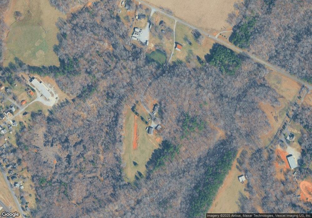
602 Perry Rd Troutman, NC 28166
Estimated Value: $318,000 - $1,002,417
3
Beds
2
Baths
1,590
Sq Ft
$408/Sq Ft
Est. Value
About This Home
This home is located at 602 Perry Rd, Troutman, NC 28166 and is currently estimated at $649,104, approximately $408 per square foot. 602 Perry Rd is a home located in Iredell County with nearby schools including Troutman Elementary School, Troutman Middle School, and South Iredell High School.
Ownership History
Date
Name
Owned For
Owner Type
Purchase Details
Closed on
Jul 14, 2023
Sold by
Motley Bobbie C
Bought by
Motley Johnny William
Current Estimated Value
Purchase Details
Closed on
Nov 23, 2020
Sold by
Emery Diane Byer
Bought by
Motley Bobbie C
Purchase Details
Closed on
Jun 1, 1978
Bought by
Emery Everette W and Emery Diane B
Purchase Details
Closed on
Jun 1, 1976
Purchase Details
Closed on
Jun 1, 1955
Create a Home Valuation Report for This Property
The Home Valuation Report is an in-depth analysis detailing your home's value as well as a comparison with similar homes in the area
Home Values in the Area
Average Home Value in this Area
Purchase History
| Date | Buyer | Sale Price | Title Company |
|---|---|---|---|
| Motley Johnny William | -- | None Listed On Document | |
| Motley Johnny William | -- | None Listed On Document | |
| Motley Bobbie C | $525,000 | None Available | |
| Motley Bobbie C | -- | None Listed On Document | |
| Emery Everette W | $159,000 | -- | |
| -- | $20,000 | -- | |
| -- | -- | -- | |
| -- | -- | -- |
Source: Public Records
Tax History
| Year | Tax Paid | Tax Assessment Tax Assessment Total Assessment is a certain percentage of the fair market value that is determined by local assessors to be the total taxable value of land and additions on the property. | Land | Improvement |
|---|---|---|---|---|
| 2025 | $3,219 | $516,500 | $0 | $0 |
| 2024 | $3,219 | $516,500 | $0 | $0 |
| 2023 | $3,219 | $516,500 | $0 | $0 |
| 2022 | $1,915 | $296,200 | $0 | $0 |
| 2021 | $1,628 | $241,600 | $0 | $0 |
| 2020 | $1,628 | $241,600 | $0 | $0 |
| 2019 | $1,568 | $241,600 | $0 | $0 |
| 2018 | $1,504 | $234,350 | $0 | $0 |
| 2017 | $1,504 | $352,080 | $182,750 | $169,330 |
| 2016 | $1,504 | $352,080 | $182,750 | $169,330 |
| 2015 | $1,504 | $352,080 | $182,750 | $169,330 |
| 2014 | $1,429 | $344,390 | $162,450 | $181,940 |
Source: Public Records
Map
Nearby Homes
Your Personal Tour Guide
Ask me questions while you tour the home.