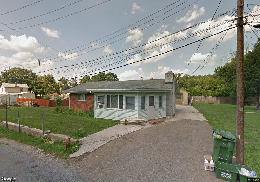
602 Poplar St Avondale, PA 19311
Estimated Value: $256,000 - $331,000
3
Beds
1
Bath
1,118
Sq Ft
$256/Sq Ft
Est. Value
About This Home
This home is located at 602 Poplar St, Avondale, PA 19311 and is currently estimated at $286,744, approximately $256 per square foot. 602 Poplar St is a home located in Chester County with nearby schools including Penn London Elementary School, Avon Grove Intermediate School, and Fred S Engle Middle School.
Ownership History
Date
Name
Owned For
Owner Type
Purchase Details
Closed on
Jul 11, 2025
Sold by
Poe Linda S and Poe Jerry F
Bought by
Guzman Mejia Liliana
Current Estimated Value
Purchase Details
Closed on
Jun 19, 2007
Sold by
Jones T Elizabeth and Poe Linda S
Bought by
Jones T Elizabeth and Poe Linda S
Home Financials for this Owner
Home Financials are based on the most recent Mortgage that was taken out on this home.
Original Mortgage
$164,000
Interest Rate
8.37%
Mortgage Type
New Conventional
Purchase Details
Closed on
Jul 19, 2005
Sold by
Jones T Elizabeth
Bought by
Jones T Elizabeth and Poe Linda S
Create a Home Valuation Report for This Property
The Home Valuation Report is an in-depth analysis detailing your home's value as well as a comparison with similar homes in the area
Home Values in the Area
Average Home Value in this Area
Purchase History
| Date | Buyer | Sale Price | Title Company |
|---|---|---|---|
| Guzman Mejia Liliana | $155,000 | Pa Land Settlement Services | |
| Guzman Mejia Liliana | $155,000 | Pa Land Settlement Services | |
| Jones T Elizabeth | -- | Commonwealth Land Title Insu | |
| Jones T Elizabeth | -- | -- |
Source: Public Records
Mortgage History
| Date | Status | Borrower | Loan Amount |
|---|---|---|---|
| Previous Owner | Jones T Elizabeth | $164,000 |
Source: Public Records
Tax History Compared to Growth
Tax History
| Year | Tax Paid | Tax Assessment Tax Assessment Total Assessment is a certain percentage of the fair market value that is determined by local assessors to be the total taxable value of land and additions on the property. | Land | Improvement |
|---|---|---|---|---|
| 2025 | $4,350 | $97,740 | $26,220 | $71,520 |
| 2024 | $4,350 | $97,740 | $26,220 | $71,520 |
| 2023 | $4,266 | $97,740 | $26,220 | $71,520 |
| 2022 | $4,210 | $97,740 | $26,220 | $71,520 |
| 2021 | $4,033 | $97,740 | $26,220 | $71,520 |
| 2020 | $3,908 | $97,740 | $26,220 | $71,520 |
| 2019 | $3,818 | $97,740 | $26,220 | $71,520 |
| 2018 | $3,728 | $97,740 | $26,220 | $71,520 |
| 2017 | $3,656 | $97,740 | $26,220 | $71,520 |
| 2016 | $2,606 | $97,740 | $26,220 | $71,520 |
| 2015 | $2,606 | $97,740 | $26,220 | $71,520 |
| 2014 | $2,606 | $97,740 | $26,220 | $71,520 |
Source: Public Records
Map
Nearby Homes
- 200 Pennsylvania Ave
- 95 Gap Newport Pike
- 8 Williams Way
- 113 Ronway Dr
- 311 Ellicott Rd
- 1269 Newark Rd
- 26 Inniscrone Dr
- 104 Heatherly Ln
- 1003 Newark Rd
- 1265 W Baltimore Pike
- 19 Angelica Dr
- 512 Finn Way
- 941 Newark Rd
- 16 Angelica Dr
- 105 Waywood Ln Unit 35
- 183 Ellicott Rd
- 179 Ellicott Rd
- 171 Ellicott Rd
- 156 Bancroft Rd Unit SGR
- 156 Bancroft Rd Unit CARLTON
- 604 Poplar St
- 0 Thompson St Unit 1006711296
- 0 Thompson St Unit 5627219
- 521 Henson St
- 601 Poplar St
- 519 Henson St
- 402 Maple St
- 405 Maple St
- 606 Poplar St
- 603 Poplar St
- 000 Thompson St
- 413 Thompson St
- 0 Maple St Unit 1006711598
- 0 Maple St Unit 5627200
- 0 Maple St Unit 5813012
- 605 Poplar St
- 511 Henson St
- 321 Church St
- 325 Church St
- 317 Church St