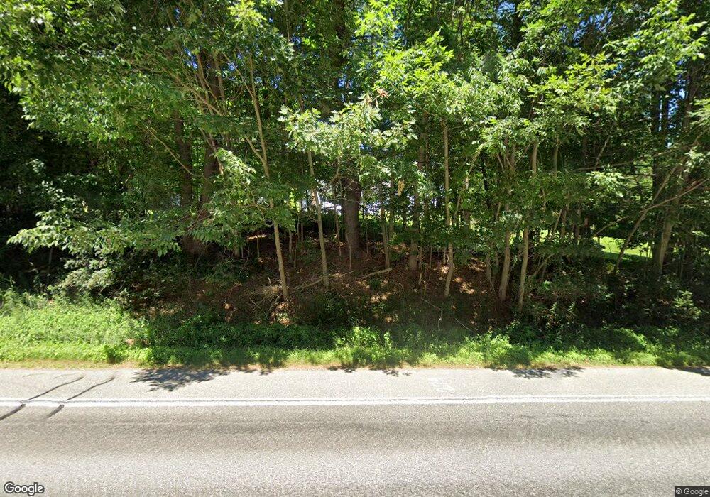
602 Route 202 Greene, ME 04236
Estimated Value: $431,000 - $654,000
3
Beds
3
Baths
3,368
Sq Ft
$160/Sq Ft
Est. Value
About This Home
This home is located at 602 Route 202, Greene, ME 04236 and is currently estimated at $539,179, approximately $160 per square foot. 602 Route 202 is a home located in Androscoggin County with nearby schools including Tripp Middle School and Leavitt Area High School.
Ownership History
Date
Name
Owned For
Owner Type
Purchase Details
Closed on
Feb 27, 2014
Sold by
Greene Town Of
Bought by
Lamontagne Donald
Current Estimated Value
Purchase Details
Closed on
Jan 7, 2008
Sold by
Samson Real A
Bought by
Samson Real A and Lamontagne Rose Marie
Create a Home Valuation Report for This Property
The Home Valuation Report is an in-depth analysis detailing your home's value as well as a comparison with similar homes in the area
Home Values in the Area
Average Home Value in this Area
Purchase History
| Date | Buyer | Sale Price | Title Company |
|---|---|---|---|
| Lamontagne Donald | -- | -- | |
| Samson Real A | -- | -- |
Source: Public Records
Mortgage History
| Date | Status | Borrower | Loan Amount |
|---|---|---|---|
| Previous Owner | Samson Real A | $54,500 |
Source: Public Records
Tax History
| Year | Tax Paid | Tax Assessment Tax Assessment Total Assessment is a certain percentage of the fair market value that is determined by local assessors to be the total taxable value of land and additions on the property. | Land | Improvement |
|---|---|---|---|---|
| 2024 | $5,992 | $307,300 | $48,600 | $258,700 |
| 2023 | $5,992 | $307,300 | $48,600 | $258,700 |
| 2022 | $5,470 | $307,300 | $48,600 | $258,700 |
| 2021 | $5,255 | $307,300 | $48,600 | $258,700 |
| 2020 | $5,255 | $307,300 | $48,600 | $258,700 |
| 2019 | $4,978 | $307,300 | $48,600 | $258,700 |
| 2018 | $4,837 | $307,300 | $48,600 | $258,700 |
| 2017 | $4,739 | $307,300 | $48,600 | $258,700 |
| 2016 | $4,468 | $307,300 | $48,600 | $258,700 |
| 2015 | $4,382 | $307,300 | $48,600 | $258,700 |
| 2014 | $4,155 | $307,300 | $48,600 | $258,700 |
| 2013 | $4,087 | $307,300 | $48,600 | $258,700 |
Source: Public Records
Map
Nearby Homes
- 0 U S Highway 202
- 0 Sedgley Rd
- 67 Island View Dr
- 951 U S Highway 202
- 25 Jennifer Ave
- 27 Jennifer Ave
- 35 Grey Rd
- Lot 6 Berry Rd
- Lot 7 Berry Rd
- 12 Key Hill Rd
- 548 Allen Pond Rd
- 764 N River Rd
- 66 S South Hatch Hill Rd
- 253 Bull Run Rd
- LOT 5 N River Rd
- 20 Copper Ridge Rd
- Lot 3 N North River Rd
- 26 Island View Dr
- 1639 Main St
- 1648 Main St
- 600 Route 202
- 614 Route 202
- 54 Main St
- Map20Lot22 U S Highway 202
- 36 Main St
- 640 Route 202
- 633 Route 202
- 639 Route 202
- 13 Sargent Ln
- 73 Main St
- 69 Main St
- 157 Sedgley Rd
- 11 Hodgkins Dr
- 0 Saddlecreek Estates Lot 9 Unit 809365
- 0 Saddlecreek Estates Lot 3 Unit 809308
- 0 Saddlecreek Estates Lot 6 Unit 809359
- 0 Saddlecreek Estates Lot 12 Unit 809388
- 0 Saddlecreek Estates Lot 11 Unit 809380
- 0 Saddlecreek Estates Lot 2 Unit 809300
- 0 Saddlecreek Estates Lot 2 Unit 909021
