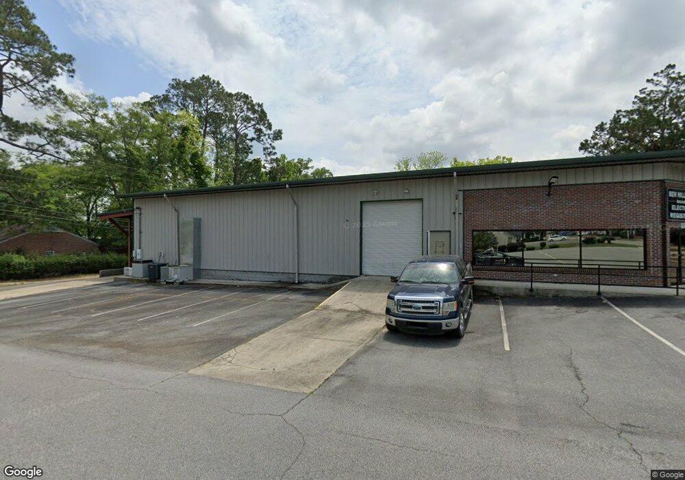
602 S Grant St Fitzgerald, GA 31750
Estimated Value: $336,427
--
Bed
1
Bath
4,979
Sq Ft
$68/Sq Ft
Est. Value
About This Home
This home is located at 602 S Grant St, Fitzgerald, GA 31750 and is currently estimated at $336,427, approximately $67 per square foot. 602 S Grant St is a home located in Ben Hill County with nearby schools including Ben Hill County Primary School, Ben Hill Elementary School, and Ben Hill County Middle School.
Ownership History
Date
Name
Owned For
Owner Type
Purchase Details
Closed on
Oct 18, 2019
Sold by
Purvis Virgil
Bought by
Ben Hill County Georgia
Current Estimated Value
Purchase Details
Closed on
Dec 31, 2015
Bought by
Hulsey Randy B and Hulsey Terry L
Purchase Details
Closed on
Dec 1, 2015
Sold by
Hulsey Randy R
Bought by
Purvis Virgil
Purchase Details
Closed on
Jan 27, 2000
Sold by
Steed Charles Earl
Bought by
Hulsey Randy B
Purchase Details
Closed on
Oct 2, 1998
Sold by
Steed Loulie G
Bought by
Steed Charles Earl
Purchase Details
Closed on
Jul 12, 1996
Bought by
Steed Loulie G
Create a Home Valuation Report for This Property
The Home Valuation Report is an in-depth analysis detailing your home's value as well as a comparison with similar homes in the area
Home Values in the Area
Average Home Value in this Area
Purchase History
| Date | Buyer | Sale Price | Title Company |
|---|---|---|---|
| Ben Hill County Georgia | -- | -- | |
| Hulsey Randy B | $176,900 | -- | |
| Purvis Virgil | $150,000 | -- | |
| Hulsey Randy B | $35,000 | -- | |
| Steed Charles Earl | -- | -- | |
| Steed Loulie G | -- | -- |
Source: Public Records
Tax History Compared to Growth
Tax History
| Year | Tax Paid | Tax Assessment Tax Assessment Total Assessment is a certain percentage of the fair market value that is determined by local assessors to be the total taxable value of land and additions on the property. | Land | Improvement |
|---|---|---|---|---|
| 2024 | -- | $84,108 | $12,800 | $71,308 |
| 2023 | $0 | $84,108 | $12,800 | $71,308 |
| 2022 | $3,744 | $80,752 | $12,800 | $67,952 |
| 2021 | $3,776 | $80,751 | $12,800 | $67,951 |
| 2020 | $3,776 | $80,752 | $12,800 | $67,952 |
| 2019 | $2,384 | $68,858 | $12,800 | $56,058 |
| 2018 | $2,967 | $68,858 | $12,800 | $56,058 |
| 2017 | $2,236 | $64,274 | $12,800 | $51,474 |
| 2016 | -- | $64,274 | $12,800 | $51,474 |
| 2015 | -- | $67,576 | $12,800 | $54,776 |
| 2014 | -- | $13,837 | $12,800 | $1,037 |
Source: Public Records
Map
Nearby Homes
- 515 S Grant St
- 510 S Main St
- 412 S Main St
- 409 S Main St
- 407 E Lemon St
- 325 S Lee St
- 210 W Jessamine St
- 512 E Lemon St
- 309 S Lee St
- 211 W Roanoke Dr
- 225 SW Jessamine
- 0 E Magnolia St
- 411 S Meade St
- 709 E Orange St
- 106 Van Deman Dr
- 0 Union Cemetery Rd Unit 20524152
- 319 W Magnolia St
- 409 W Magnolia St
- 701 S Monitor Dr
- 815 E Jessamine St
- 608 S Grant St
- 209 E Orange St
- 511 & 51 S Grant St
- 511 S Grant St
- 511, 515 S Grant St
- S S Grant St
- 210 E Orange St
- 607 S Sherman St
- 601 S Grant St
- 603 S Grant St
- 510 S Grant St
- 613 S Sherman St
- 515 S Sherman St
- 509 S Sherman St
- 615 S Sherman St
- 509 S Grant St
- 615 S Grant St
- 211 E Palm St
- 504 S Grant St
- 602 S Main St