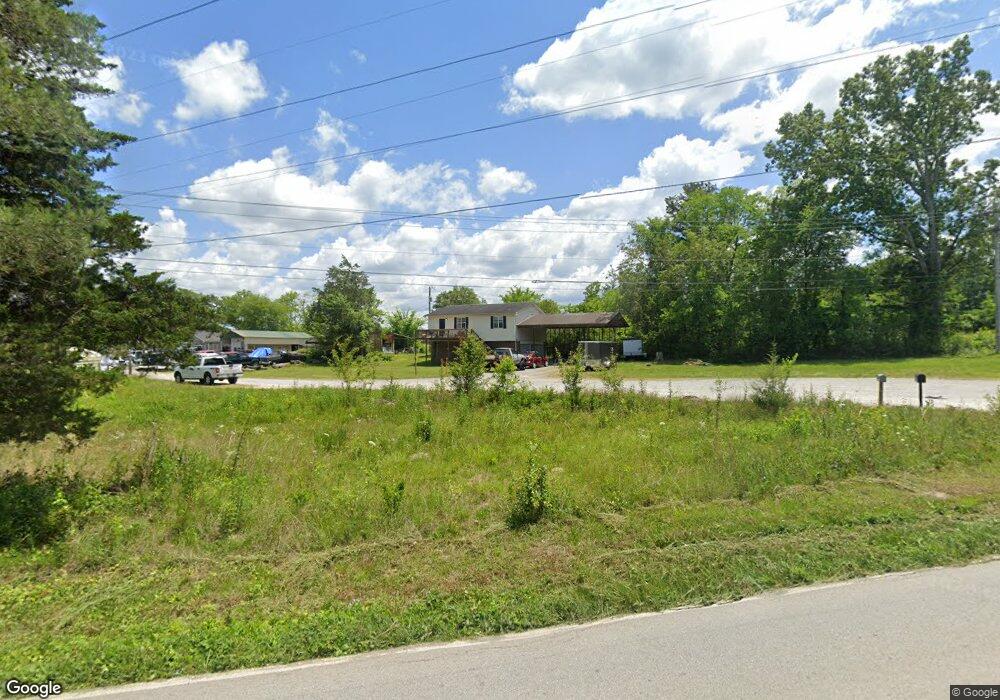
602 S MacK Smith Rd Rossville, GA 30741
Westside NeighborhoodEstimated Value: $195,000 - $213,000
2
Beds
1
Bath
988
Sq Ft
$208/Sq Ft
Est. Value
About This Home
This home is located at 602 S MacK Smith Rd, Rossville, GA 30741 and is currently estimated at $205,044, approximately $207 per square foot. 602 S MacK Smith Rd is a home located in Catoosa County with nearby schools including West Side Elementary School, Lakeview Middle School, and Lakeview-Fort Oglethorpe High School.
Ownership History
Date
Name
Owned For
Owner Type
Purchase Details
Closed on
Feb 8, 2013
Sold by
Kelly Street
Bought by
Haseltine Eric
Current Estimated Value
Purchase Details
Closed on
Aug 15, 2007
Sold by
Scott John C
Bought by
Kelly Street
Home Financials for this Owner
Home Financials are based on the most recent Mortgage that was taken out on this home.
Original Mortgage
$83,056
Interest Rate
6.7%
Mortgage Type
FHA
Purchase Details
Closed on
Feb 2, 2007
Sold by
Trivette Timothy D
Bought by
Scott John C
Create a Home Valuation Report for This Property
The Home Valuation Report is an in-depth analysis detailing your home's value as well as a comparison with similar homes in the area
Home Values in the Area
Average Home Value in this Area
Purchase History
| Date | Buyer | Sale Price | Title Company |
|---|---|---|---|
| Haseltine Eric | $102,000 | -- | |
| Kelly Street | $84,100 | -- | |
| Scott John C | $60,600 | -- |
Source: Public Records
Mortgage History
| Date | Status | Borrower | Loan Amount |
|---|---|---|---|
| Previous Owner | Kelly Street | $83,056 |
Source: Public Records
Tax History Compared to Growth
Tax History
| Year | Tax Paid | Tax Assessment Tax Assessment Total Assessment is a certain percentage of the fair market value that is determined by local assessors to be the total taxable value of land and additions on the property. | Land | Improvement |
|---|---|---|---|---|
| 2024 | $1,401 | $65,699 | $8,960 | $56,739 |
| 2023 | $1,177 | $52,585 | $8,960 | $43,625 |
| 2022 | $991 | $44,285 | $8,960 | $35,325 |
| 2021 | $927 | $44,285 | $8,960 | $35,325 |
| 2020 | $821 | $35,476 | $4,950 | $30,526 |
| 2019 | $830 | $35,476 | $4,950 | $30,526 |
| 2018 | $876 | $35,476 | $4,950 | $30,526 |
| 2017 | $883 | $35,726 | $4,950 | $30,776 |
Source: Public Records
Map
Nearby Homes
- 602 MacK Smith Rd
- Peyton Plan at The Fields at Huntley Meadows
- Quail Run Plan at The Fields at Huntley Meadows
- Hawthorne Plan at The Fields at Huntley Meadows
- Silverton Plan at The Fields at Huntley Meadows
- Aspen Plan at The Fields at Huntley Meadows
- Hudson Plan at The Fields at Huntley Meadows
- Ocoee Plan at The Fields at Huntley Meadows
- Peachtree Plan at The Fields at Huntley Meadows
- 458 Winchester Dr
- 527 Winchester Dr
- 518 Winchester Dr
- 530 Winchester Dr
- 72 Lillian Dr
- 398 Winchester Dr
- 5 Winchester Dr
- 385 Winchester Dr
- 792 S MacK Smith Rd
- 302 Huntley Meadows Dr
- 127 Huntley Meadows Dr
- 574 MacK Smith Rd
- 2002 MacK Smith Rd
- 18 Susan Ln
- 510 MacK Smith Rd
- 394 Elizabeth St
- 549 MacK Smith Rd
- 686 MacK Smith Rd
- 533 MacK Smith Rd
- 780 North Ave
- 693 MacK Smith Rd
- 397 Elizabeth St
- 458 MacK Smith Rd
- 734 North Ave
- 42 Ann Dr
- 30 Lillian Dr
- 731 MacK Smith Rd
- 89 Susan Ln
- 0 Winchester Dr Unit 36435352
- 0 Winchester Dr Unit 36435150
- 710 North Ave