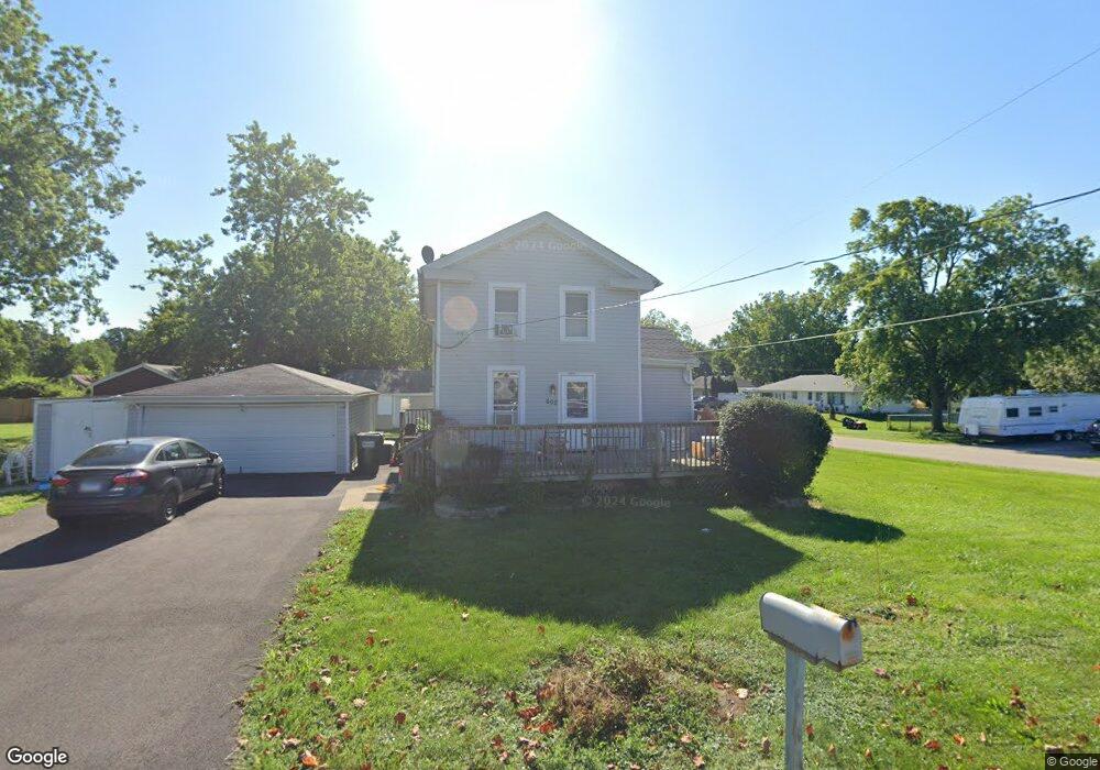
602 Table St Lockport, IL 60441
Estimated Value: $251,000 - $322,000
About This Home
This home is located at 602 Table St, Lockport, IL 60441 and is currently estimated at $282,397. 602 Table St is a home located in Will County with nearby schools including Ludwig Elementary School, Walsh Elementary School, and Reed Elementary School.
Ownership History
We collect this data history from publicly available records. To have your information removed, we recommend requesting removal directly through your county’s website.
Purchase Details
Purchase Details
Purchase Details
Home Values in the Area
Average Home Value in this Area
Purchase History
We collect this data history from publicly available records. To have your information removed, we recommend requesting removal directly through your county’s website.
| Date | Buyer | Sale Price | Title Company |
|---|---|---|---|
| $90,000 | First American Title | ||
| -- | None Available | ||
| $102,000 | None Available |
Tax History
We collect this data history from publicly available records. To have your information removed, we recommend requesting removal directly through your county’s website.
| Year | Tax Paid | Tax Assessment Tax Assessment Total Assessment is a certain percentage of the fair market value that is determined by local assessors to be the total taxable value of land and additions on the property. | Land | Improvement |
|---|---|---|---|---|
| 2024 | $6,386 | $79,980 | $29,932 | $50,048 |
| 2023 | $6,092 | $71,801 | $26,871 | $44,930 |
| 2022 | $4,909 | $61,274 | $22,932 | $38,342 |
| 2021 | $4,624 | $57,583 | $21,551 | $36,032 |
| 2020 | $4,512 | $55,689 | $20,842 | $34,847 |
| 2019 | $4,264 | $52,785 | $19,755 | $33,030 |
| 2018 | $4,183 | $50,739 | $18,989 | $31,750 |
| 2017 | $4,001 | $47,899 | $17,926 | $29,973 |
| 2016 | $3,605 | $42,512 | $15,910 | $26,602 |
| 2015 | $3,067 | $38,159 | $14,281 | $23,878 |
| 2014 | $3,067 | $35,008 | $13,102 | $21,906 |
| 2013 | $3,067 | $35,008 | $13,102 | $21,906 |
Map
- 700 Maryknoll Dr Unit 2
- 118 N State St
- 927 Treeline Ct Unit A
- 120 N State St
- 938 Treeline Ct
- 629 Thornton St
- 1013 Northern Dr
- 1104 Basin Dr
- 307 Laurie Dr
- 1.4 Acres S Archer Ave
- 17461 W Windemere Cir
- 17324 S Victoria Ln
- 15438 W Amelia Cir
- 17455 W Windemere Cir
- 15436 W Amelia Cir
- 16538 S Sun Meadow Dr
- 17501 W Windemere Cir
- 16522 W Golden Valley Ln
- 1600 Fairmount
- 17439 W Windemere Cir
Ask me questions while you tour the home.