602 Turkey Pit Rd Unit 1 New Oxford, PA 17350
Estimated Value: $495,000 - $1,126,925
4
Beds
3
Baths
3,144
Sq Ft
$258/Sq Ft
Est. Value
About This Home
This home is located at 602 Turkey Pit Rd Unit 1, New Oxford, PA 17350 and is currently estimated at $810,963, approximately $257 per square foot. 602 Turkey Pit Rd Unit 1 is a home located in Adams County with nearby schools including Bermudian Springs Elementary School, Bermudian Springs Middle School, and Bermudian Springs High School.
Ownership History
Date
Name
Owned For
Owner Type
Purchase Details
Closed on
Dec 19, 2012
Sold by
Keller Scott Allen and Keller Steffi J
Bought by
Keller Daniel Anthony and Keller Jennifer L
Current Estimated Value
Home Financials for this Owner
Home Financials are based on the most recent Mortgage that was taken out on this home.
Original Mortgage
$500,000
Interest Rate
3.43%
Mortgage Type
Purchase Money Mortgage
Create a Home Valuation Report for This Property
The Home Valuation Report is an in-depth analysis detailing your home's value as well as a comparison with similar homes in the area
Home Values in the Area
Average Home Value in this Area
Purchase History
| Date | Buyer | Sale Price | Title Company |
|---|---|---|---|
| Keller Daniel Anthony | -- | None Available |
Source: Public Records
Mortgage History
| Date | Status | Borrower | Loan Amount |
|---|---|---|---|
| Closed | Keller Daniel Anthony | $500,000 |
Source: Public Records
Tax History Compared to Growth
Tax History
| Year | Tax Paid | Tax Assessment Tax Assessment Total Assessment is a certain percentage of the fair market value that is determined by local assessors to be the total taxable value of land and additions on the property. | Land | Improvement |
|---|---|---|---|---|
| 2025 | $7,868 | $420,800 | $43,400 | $377,400 |
| 2024 | $7,379 | $420,800 | $43,400 | $377,400 |
| 2023 | $12,962 | $420,800 | $43,400 | $377,400 |
| 2022 | $12,962 | $420,800 | $43,400 | $377,400 |
| 2021 | $12,773 | $420,800 | $43,400 | $377,400 |
| 2020 | $12,446 | $420,800 | $43,400 | $377,400 |
| 2019 | $12,173 | $420,800 | $43,400 | $377,400 |
| 2018 | $11,891 | $420,800 | $43,400 | $377,400 |
| 2017 | $6,356 | $420,800 | $43,400 | $377,400 |
| 2016 | -- | $420,800 | $43,400 | $377,400 |
| 2015 | -- | $416,900 | $39,500 | $377,400 |
| 2014 | -- | $413,600 | $36,200 | $377,400 |
Source: Public Records
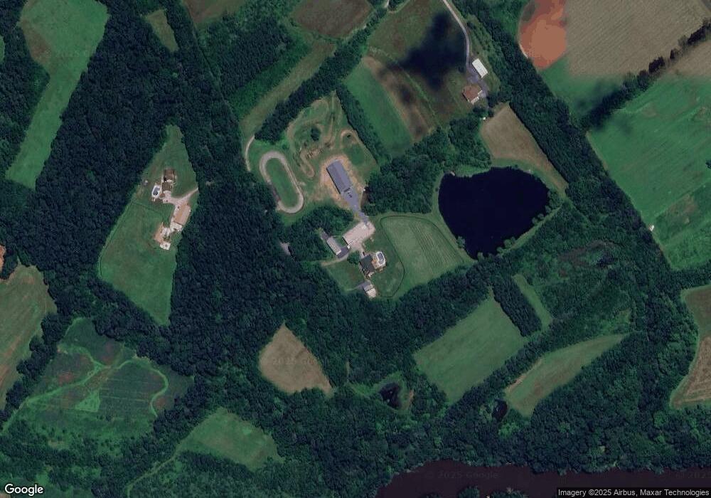
Map
Nearby Homes
- 330 S Hickory Ln Unit 15
- 75 Fawn Ave Unit 34
- 2224 Hunterstown Hampton Rd
- 34 Creek Rd Unit 18
- 1180 the Spangler Rd Unit 1
- 36 Natures Way Cir
- 0 N Browns Dam Dr
- 0 Revere Plan at Hampton Heights Unit PAAD2016620
- 0 Burberry Plan at Hampton Heights Unit PAAD2016618
- 72 Heather Ln
- 15 Hampton Dr
- 0 Abbey Plan at Hampton Heights Unit PAAD2016488
- 312 Stoney Point Rd
- Blue Ridge Plan at Hampton Heights
- Abbey Plan at Hampton Heights
- Emily Plan at Hampton Heights
- Burberry Plan at Hampton Heights
- Beacon Pointe Plan at Hampton Heights
- Georgia Mae Plan at Hampton Heights
- Revere Plan at Hampton Heights
- 590 Turkey Pit Rd Unit 2
- 600 Turkey Pit Rd Unit 2
- 186 Cottage Dr
- 180 Cottage Dr
- 194 Cottage Dr
- 180 Cottage Dr
- 176 Cottage Dr
- 210 Cottage Dr Unit 22
- 172 Cottage Dr
- 160 Cottage Dr Unit 17
- 216 Cottage Dr
- 154 Cottage Dr
- 222 Cottage Dr
- 146 Cottage Dr
- 228 Cottage Dr
- 140 Cottage Dr
- 138 Cottage Dr
- 128 Cottage Dr Unit 14
- 246 Cottage Dr
- 122 Cottage Dr