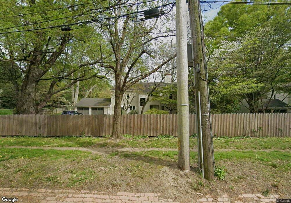
602 W Mermaid Ln Philadelphia, PA 19118
Chestnut Hill NeighborhoodEstimated Value: $1,160,000 - $1,513,000
3
Beds
2
Baths
2,848
Sq Ft
$458/Sq Ft
Est. Value
About This Home
This home is located at 602 W Mermaid Ln, Philadelphia, PA 19118 and is currently estimated at $1,304,024, approximately $457 per square foot. 602 W Mermaid Ln is a home located in Philadelphia County with nearby schools including Henry H. Houston School, Roxborough High School, and Springside Chestnut Hill Academy.
Ownership History
Date
Name
Owned For
Owner Type
Purchase Details
Closed on
Oct 20, 2020
Sold by
Woodward Charles and Heckscher Martin A
Bought by
Woodward Charles
Current Estimated Value
Purchase Details
Closed on
May 3, 2004
Sold by
Horan Quita Woodward
Bought by
Horan Quita Woodward
Purchase Details
Closed on
Dec 31, 1986
Bought by
Woodward Horan Quinta
Create a Home Valuation Report for This Property
The Home Valuation Report is an in-depth analysis detailing your home's value as well as a comparison with similar homes in the area
Home Values in the Area
Average Home Value in this Area
Purchase History
| Date | Buyer | Sale Price | Title Company |
|---|---|---|---|
| Woodward Charles | -- | None Available | |
| Horan Quita Woodward | -- | -- | |
| Woodward Horan Quinta | -- | -- |
Source: Public Records
Tax History Compared to Growth
Tax History
| Year | Tax Paid | Tax Assessment Tax Assessment Total Assessment is a certain percentage of the fair market value that is determined by local assessors to be the total taxable value of land and additions on the property. | Land | Improvement |
|---|---|---|---|---|
| 2025 | $10,963 | $1,233,000 | $246,600 | $986,400 |
| 2024 | $10,963 | $1,233,000 | $246,600 | $986,400 |
| 2023 | $10,963 | $783,200 | $156,600 | $626,600 |
| 2022 | $10,963 | $783,200 | $156,600 | $626,600 |
| 2021 | $10,589 | $0 | $0 | $0 |
| 2020 | $10,589 | $0 | $0 | $0 |
| 2019 | $11,053 | $0 | $0 | $0 |
| 2018 | $0 | $0 | $0 | $0 |
| 2017 | $8,901 | $0 | $0 | $0 |
| 2016 | $8,901 | $0 | $0 | $0 |
| 2015 | $8,521 | $0 | $0 | $0 |
| 2014 | -- | $635,900 | $275,106 | $360,794 |
| 2012 | -- | $107,616 | $11,490 | $96,126 |
Source: Public Records
Map
Nearby Homes
- 530-536 W Moreland Ave
- 318 W Springfield Ave
- 358 W Mount Airy Ave
- 442 Wellesley Rd
- 439 W Durham St
- 7330 Bryan St
- 8023 Seminole St
- 7213 Cresheim Rd
- 109 W Moreland Ave
- 7141 Cresheim Rd
- 8401 Saint Martins Ln
- 121 W Mount Pleasant Ave
- 7009 Lincoln Dr
- 542 W Ellet St
- 7510 Boyer St
- 7018 Henry Ave
- 116 W Sedgwick St
- 7019 Pipers Glen Way
- 7100 Germantown Ave
- 7005 Pipers Glen Way
- 604 W Mermaid Ln
- 7616 Cherokee St
- 7615 Cherokee St
- 7700 Cherokee St
- 705 W Mermaid Ln
- 7614 Cherokee St
- 606 W Mermaid Ln
- 7701 Cherokee St
- 7609 Cherokee St
- 7705 Cherokee St
- 7710 Cherokee St
- 586 W Mermaid Ln
- 7612 Cherokee St
- 611 W Mermaid Ln
- 617 W Mermaid Ln
- 7710 2 MORELAN Moreland Cir
- 615 W Mermaid Ln
- 535 Telner St
- 7715 Mccallum St
- 7715 Mccallum St