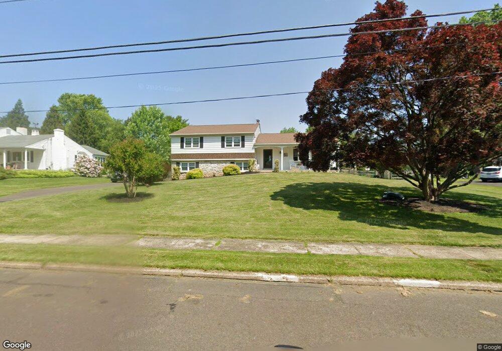
602 Wade Ave Horsham, PA 19044
Estimated Value: $567,000 - $664,000
4
Beds
3
Baths
2,048
Sq Ft
$302/Sq Ft
Est. Value
About This Home
This home is located at 602 Wade Ave, Horsham, PA 19044 and is currently estimated at $619,481, approximately $302 per square foot. 602 Wade Ave is a home located in Montgomery County with nearby schools including Simmons Elementary School, Keith Valley Middle School, and Hatboro-Horsham Senior High School.
Ownership History
Date
Name
Owned For
Owner Type
Purchase Details
Closed on
Aug 31, 2006
Sold by
Semisch Mark R and Cronkright Gordon E
Bought by
Raskay Edward P and Raskay Kathleen E
Current Estimated Value
Home Financials for this Owner
Home Financials are based on the most recent Mortgage that was taken out on this home.
Original Mortgage
$185,000
Outstanding Balance
$111,342
Interest Rate
6.71%
Estimated Equity
$508,140
Create a Home Valuation Report for This Property
The Home Valuation Report is an in-depth analysis detailing your home's value as well as a comparison with similar homes in the area
Home Values in the Area
Average Home Value in this Area
Purchase History
| Date | Buyer | Sale Price | Title Company |
|---|---|---|---|
| Raskay Edward P | $340,000 | None Available |
Source: Public Records
Mortgage History
| Date | Status | Borrower | Loan Amount |
|---|---|---|---|
| Open | Raskay Edward P | $185,000 |
Source: Public Records
Tax History Compared to Growth
Tax History
| Year | Tax Paid | Tax Assessment Tax Assessment Total Assessment is a certain percentage of the fair market value that is determined by local assessors to be the total taxable value of land and additions on the property. | Land | Improvement |
|---|---|---|---|---|
| 2025 | $6,498 | $165,310 | $62,700 | $102,610 |
| 2024 | $6,498 | $165,310 | $62,700 | $102,610 |
| 2023 | $6,185 | $165,310 | $62,700 | $102,610 |
| 2022 | $5,985 | $165,310 | $62,700 | $102,610 |
| 2021 | $5,843 | $165,310 | $62,700 | $102,610 |
| 2020 | $5,705 | $165,310 | $62,700 | $102,610 |
| 2019 | $5,596 | $165,310 | $62,700 | $102,610 |
| 2018 | $4,455 | $165,310 | $62,700 | $102,610 |
| 2017 | $5,345 | $165,310 | $62,700 | $102,610 |
| 2016 | $5,281 | $165,310 | $62,700 | $102,610 |
| 2015 | $5,043 | $165,310 | $62,700 | $102,610 |
| 2014 | $5,043 | $165,310 | $62,700 | $102,610 |
Source: Public Records
Map
Nearby Homes
- 603 Norristown Rd
- 221 Winchester Dr
- 585 Colonial Dr
- 18 Hunt Dr
- 45 Ember Ln
- 80 Whetstone Rd
- 45 Brookside Ct
- 159 Hunt Dr
- 44 Brookside Ct Unit 44
- 996 Whitney Ln
- 738 LOT 2 Emory Ct
- Lot 46 Bryce Dr
- Lot 49 Bryce Dr
- Lot 42 Emory Ct
- Lot 42 Emory Ct
- 132 Hunt Dr
- Lot 9 Bryce Dr
- 826 LOT 16 Carlsbad Ct
- Lot 45 Emory Ct
- Lot 10 Bryce Dr
- 604 Wade Ave
- 600 Wade Ave
- 603 Wade Ave
- 601 Norristown Rd
- 606 Wade Ave
- 601 Wade Ave
- 605 Norristown Rd
- 605 Wade Ave
- 708 Witmer Rd
- 607 Wade Ave
- 710 Witmer Rd
- 608 Wade Ave
- 607 Norristown Rd
- 539 Norristown Rd
- 211 Winchester Dr
- 209 Winchester Dr
- 213 Winchester Dr
- 609 Wade Ave
- 594 Mann Rd
- 215 Winchester Dr