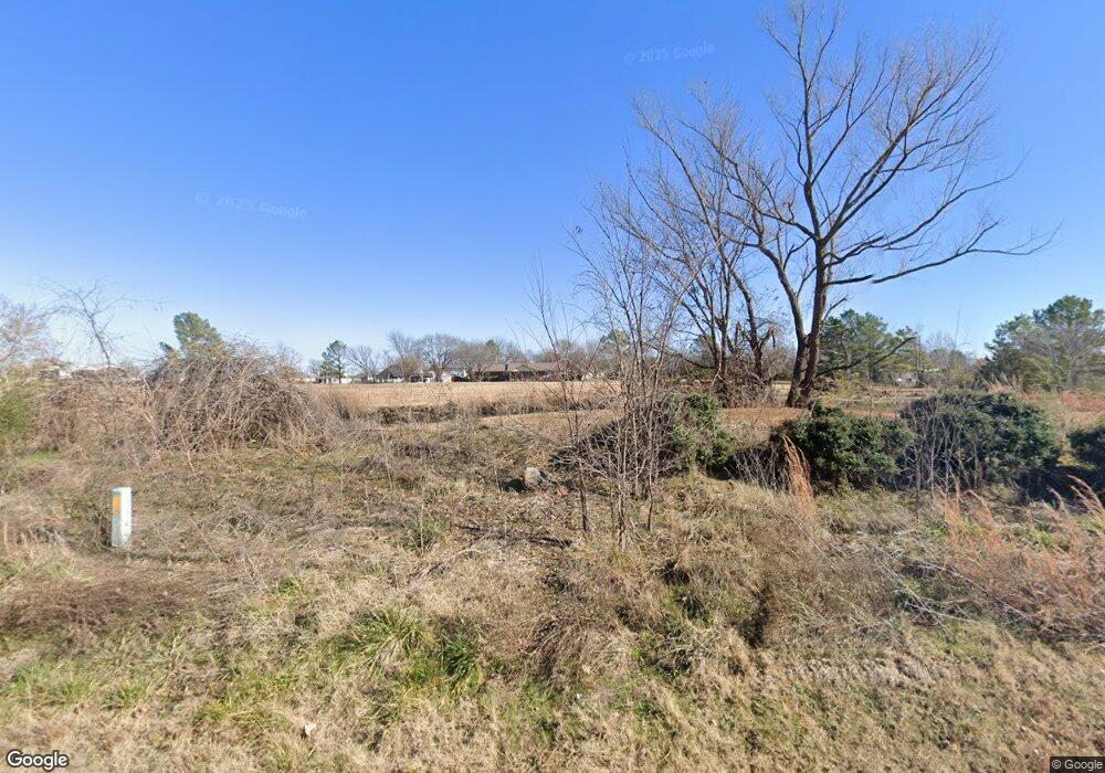
Estimated Value: $281,163 - $344,000
3
Beds
2
Baths
1,798
Sq Ft
$178/Sq Ft
Est. Value
About This Home
This home is located at 602 Western Dr, Beggs, OK 74421 and is currently estimated at $320,291, approximately $178 per square foot. 602 Western Dr is a home with nearby schools including Beggs Elementary School, Beggs Middle School, and Beggs High School.
Ownership History
Date
Name
Owned For
Owner Type
Purchase Details
Closed on
Oct 5, 2012
Sold by
Seism Clint and Seism Selena
Bought by
Jeremiah Matthew and Breey Melissa Ann
Current Estimated Value
Home Financials for this Owner
Home Financials are based on the most recent Mortgage that was taken out on this home.
Original Mortgage
$196,377
Outstanding Balance
$141,545
Interest Rate
4.4%
Mortgage Type
FHA
Estimated Equity
$178,746
Purchase Details
Closed on
Mar 14, 2008
Sold by
Jenkins Gerald Stephen and Jenkins Shirley Jean
Bought by
Scism Clint and Scism Selena
Home Financials for this Owner
Home Financials are based on the most recent Mortgage that was taken out on this home.
Original Mortgage
$143,800
Interest Rate
5.72%
Mortgage Type
Future Advance Clause Open End Mortgage
Create a Home Valuation Report for This Property
The Home Valuation Report is an in-depth analysis detailing your home's value as well as a comparison with similar homes in the area
Home Values in the Area
Average Home Value in this Area
Purchase History
| Date | Buyer | Sale Price | Title Company |
|---|---|---|---|
| Jeremiah Matthew | $200,000 | None Available | |
| Scism Clint | $150,000 | None Available |
Source: Public Records
Mortgage History
| Date | Status | Borrower | Loan Amount |
|---|---|---|---|
| Open | Jeremiah Matthew | $196,377 | |
| Previous Owner | Scism Clint | $143,800 |
Source: Public Records
Tax History Compared to Growth
Tax History
| Year | Tax Paid | Tax Assessment Tax Assessment Total Assessment is a certain percentage of the fair market value that is determined by local assessors to be the total taxable value of land and additions on the property. | Land | Improvement |
|---|---|---|---|---|
| 2024 | $1,311 | $15,221 | $1,800 | $13,421 |
| 2023 | $1,263 | $14,347 | $1,800 | $12,547 |
| 2022 | $1,234 | $13,929 | $1,800 | $12,129 |
| 2021 | $1,234 | $13,929 | $1,800 | $12,129 |
| 2020 | $1,153 | $13,130 | $1,800 | $11,330 |
| 2019 | $1,111 | $12,748 | $1,800 | $10,948 |
| 2018 | $1,080 | $12,376 | $1,800 | $10,576 |
| 2017 | $982 | $12,016 | $1,800 | $10,216 |
| 2016 | $952 | $11,666 | $1,800 | $9,866 |
| 2015 | $2,116 | $23,518 | $1,800 | $21,718 |
| 2014 | $2,143 | $24,000 | $1,800 | $22,200 |
Source: Public Records
Map
Nearby Homes
- RC Bridgeport Plan at Meadowview Estates II
- RC Davenport Plan at Meadowview Estates II
- RC Armstrong II Plan at Meadowview Estates II
- RC Somerville Plan at Meadowview Estates II
- RC Foster II Plan at Meadowview Estates II
- RC Magnolia Plan at Meadowview Estates II
- RC Fenway Plan at Meadowview Estates II
- 708 N Redbud Ave
- 1102 W Main St
- 804 W Main St
- 619 W 3rd
- 210 W 6th
- 26281 W Highway 16
- 116 E 7th St
- 0 Hwy 75 S
- 120 N 160 Rd
- 8620 N 155 Rd
- 0000 E Main St
- 9085 N 156 Rd
- 6484 Alt Highway 75
- 1112 N Dogwood
- 0 N Dogwood Ave Unit 1636253
- 0 N Dogwood Ave Unit 1805856
- 0 N Dogwood Ave Unit 1846625
- 0 N Dogwood Ave Unit 2042957
- 0 N Dogwood Ave Unit 2212940
- 0 N Dogwood Ave Unit 2214073
- 0 N Dogwood Ave
- 403 Newton Dr
- 716 N Redbud Ave
- 401 N Newton St
- 402 Newton Dr
- 1005 W 5th Ave
- 1201 W Main St
- 305 Newton Place
- 8494 Western Dr
- 713 N Redbud Ave
- 717 N Redbud Ave
- 709 N Redbud Ave
- 1001 W 5th St
