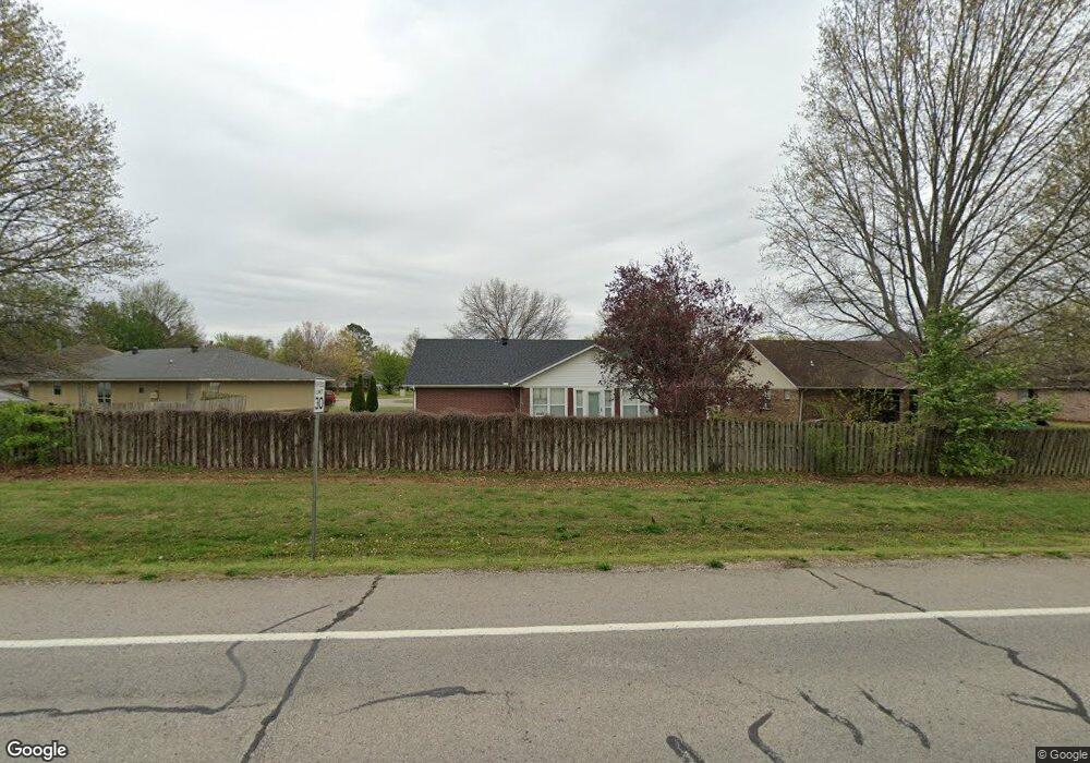
602 Westwood Ave Prairie Grove, AR 72753
Estimated Value: $297,571 - $339,000
3
Beds
2
Baths
1,937
Sq Ft
$166/Sq Ft
Est. Value
About This Home
This home is located at 602 Westwood Ave, Prairie Grove, AR 72753 and is currently estimated at $321,393, approximately $165 per square foot. 602 Westwood Ave is a home located in Washington County with nearby schools including Prairie Grove Elementary School, Prairie Grove Middle School, and Prairie Grove Junior High School.
Ownership History
Date
Name
Owned For
Owner Type
Purchase Details
Closed on
May 28, 2010
Sold by
Vanbrunt Omer Gerald
Bought by
Hause Christopher and Hause Amber
Current Estimated Value
Home Financials for this Owner
Home Financials are based on the most recent Mortgage that was taken out on this home.
Original Mortgage
$118,405
Outstanding Balance
$79,168
Interest Rate
5%
Mortgage Type
FHA
Estimated Equity
$242,225
Purchase Details
Closed on
Jul 12, 2007
Sold by
Vanbrunt Alta M
Bought by
Vanbrunt Alta M and Alta M Van Brunt Revocable Trust
Purchase Details
Closed on
Sep 10, 1997
Bought by
Vanbrunt Omer and Vanbrunt Alta
Purchase Details
Closed on
Mar 5, 1997
Bought by
Niccum Jack L and Peggy Sue
Purchase Details
Closed on
Jan 1, 1994
Bought by
D D & B, Inc.
Create a Home Valuation Report for This Property
The Home Valuation Report is an in-depth analysis detailing your home's value as well as a comparison with similar homes in the area
Home Values in the Area
Average Home Value in this Area
Purchase History
| Date | Buyer | Sale Price | Title Company |
|---|---|---|---|
| Hause Christopher | $120,000 | Lenders Title Company | |
| Vanbrunt Alta M | -- | None Available | |
| Vanbrunt Omer | $88,000 | -- | |
| Niccum Jack L | -- | -- | |
| Niccum Jack L | $11,700 | -- | |
| D D & B, Inc. | -- | -- |
Source: Public Records
Mortgage History
| Date | Status | Borrower | Loan Amount |
|---|---|---|---|
| Open | Hause Christopher | $118,405 |
Source: Public Records
Tax History Compared to Growth
Tax History
| Year | Tax Paid | Tax Assessment Tax Assessment Total Assessment is a certain percentage of the fair market value that is determined by local assessors to be the total taxable value of land and additions on the property. | Land | Improvement |
|---|---|---|---|---|
| 2025 | $1,077 | $51,750 | $8,000 | $43,750 |
| 2024 | $1,129 | $51,750 | $8,000 | $43,750 |
| 2023 | $1,189 | $51,750 | $8,000 | $43,750 |
| 2022 | $1,163 | $33,600 | $6,000 | $27,600 |
| 2021 | $1,096 | $33,600 | $6,000 | $27,600 |
| 2020 | $1,024 | $33,600 | $6,000 | $27,600 |
| 2019 | $972 | $24,760 | $5,000 | $19,760 |
| 2018 | $997 | $24,760 | $5,000 | $19,760 |
| 2017 | $985 | $24,760 | $5,000 | $19,760 |
| 2016 | $985 | $24,760 | $5,000 | $19,760 |
| 2015 | $985 | $24,760 | $5,000 | $19,760 |
| 2014 | $1,074 | $26,420 | $5,000 | $21,420 |
Source: Public Records
Map
Nearby Homes
- 110 Cypress St
- 703 Grant Ave
- Lot 2 Holmes St
- 806 Grant Ave
- 4.66 +/- AC Tract 5 Hwy 62 & S Mock St
- 813 Grant Ave
- 0 S Industrial Park Rd
- 818 Grant Ave
- TBD Kate Smith St
- 201 E Cleveland St
- 807 Sedgwick Dr
- 816 Custer St
- 815 Custer St
- 661 Summer Ln
- 301 Hindman Dr
- 601 Pennington Ave
- 208 N Neal St
- 211 Boston St
- 311 S Mock St
- 505 Shady Acres Ln
- 604 Westwood Ave
- 600 Westwood Ave
- 606 Westwood Ave
- 514 Westwood Ave
- 512 Westwood Ave
- 607 Westwood Ave
- 0 Westwood Ave
- 510 Westwood Ave
- 610 Westwood Ave
- 610 Westwood Ave
- 102 S Baggett St
- 104 S Baggett St
- 106 S Baggett St
- 609 Westwood Ave
- 601 Aspen Place
- 509 Westwood Ave
- 202 S Baggett St
- 600 Aspen Place
- 508 Westwood Ave
- 612 Westwood Ave